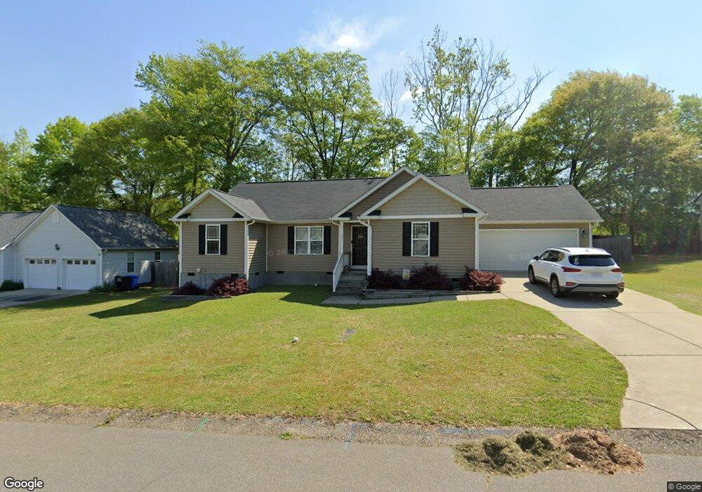
291 Cambridge Dr Angier, NC 27501
Estimated Value: $299,000 - $306,610
3
Beds
2
Baths
1,426
Sq Ft
$211/Sq Ft
Est. Value
About This Home
This home is located at 291 Cambridge Dr, Angier, NC 27501 and is currently estimated at $300,903, approximately $211 per square foot. 291 Cambridge Dr is a home located in Harnett County with nearby schools including Angier Elementary School, North Harnett Primary School, and Harnett Central Middle School.
Ownership History
Date
Name
Owned For
Owner Type
Purchase Details
Closed on
Jun 17, 2020
Sold by
Newman Stephen W and Newman Jordyn
Bought by
Olive Jacob and Olive Laura
Current Estimated Value
Home Financials for this Owner
Home Financials are based on the most recent Mortgage that was taken out on this home.
Original Mortgage
$196,000
Outstanding Balance
$177,325
Interest Rate
4.37%
Mortgage Type
New Conventional
Estimated Equity
$123,578
Purchase Details
Closed on
Jan 4, 2017
Sold by
Lamco Custom Builders Llc
Bought by
Newman Stephen W and Newman Jordyn
Home Financials for this Owner
Home Financials are based on the most recent Mortgage that was taken out on this home.
Original Mortgage
$159,857
Interest Rate
4.09%
Mortgage Type
VA
Purchase Details
Closed on
May 26, 2016
Sold by
Btw Development Co Inc
Bought by
Lamco Custom Builders Llc
Purchase Details
Closed on
Apr 1, 1997
Bought by
Btw Development Company Inc
Create a Home Valuation Report for This Property
The Home Valuation Report is an in-depth analysis detailing your home's value as well as a comparison with similar homes in the area
Home Values in the Area
Average Home Value in this Area
Purchase History
| Date | Buyer | Sale Price | Title Company |
|---|---|---|---|
| Olive Jacob | $194,000 | None Available | |
| Newman Stephen W | $157,000 | -- | |
| Lamco Custom Builders Llc | $88,000 | -- | |
| Btw Development Company Inc | -- | -- |
Source: Public Records
Mortgage History
| Date | Status | Borrower | Loan Amount |
|---|---|---|---|
| Open | Olive Jacob | $196,000 | |
| Previous Owner | Newman Stephen W | $159,857 |
Source: Public Records
Tax History
| Year | Tax Paid | Tax Assessment Tax Assessment Total Assessment is a certain percentage of the fair market value that is determined by local assessors to be the total taxable value of land and additions on the property. | Land | Improvement |
|---|---|---|---|---|
| 2025 | $2,695 | $223,843 | $0 | $0 |
| 2024 | $2,695 | $223,843 | $0 | $0 |
| 2023 | $2,673 | $223,843 | $0 | $0 |
| 2022 | $2,296 | $223,843 | $0 | $0 |
| 2021 | $2,296 | $163,810 | $0 | $0 |
| 2020 | $2,296 | $163,810 | $0 | $0 |
| 2019 | $2,281 | $163,810 | $0 | $0 |
| 2018 | $2,281 | $163,810 | $0 | $0 |
| 2017 | $1,367 | $163,810 | $0 | $0 |
| 2016 | $338 | $25,000 | $0 | $0 |
| 2015 | -- | $25,000 | $0 | $0 |
| 2014 | -- | $25,000 | $0 | $0 |
Source: Public Records
Map
Nearby Homes
- 234 Cambridge Dr
- 196 Vaughan Farms Dr Unit Lot 72
- 220 Vaughan Farms Dr Unit Lot 75
- 158 Dr
- 127 Vaughan Farms Dr
- 127 Vaughan Farms Dr Unit Lot 87
- 148 Vaughan Farms Dr
- 119 Vaughan Farms Dr Unit Lot 88
- 140 Vaughan Farms Dr
- 130 Vaughan Farms Dr Unit Lot 86
- 130 Vaughan Farms Dr Unit Lot 66
- 136 Silver Pine Dr
- 130 Silver Pine Dr Unit Lot 61
- 137 Silver Pine Dr
- 133 Silver Pine Dr
- 129 Silver Pine Dr
- 125 Silver Pine Dr
- 121 Silver Pine Dr
- 13 Silver Pine Dr
- 17 Silver Pine Dr
- 311 Cambridge Dr
- 271 Cambridge Dr
- 292 Cambridge Dr
- 314 Cambridge Dr
- 325 Cambridge Dr
- 272 Cambridge Dr
- 251 Cambridge Dr
- 157 Vaughan Farms Dr
- 252 Cambridge Dr
- 252 Cambridge Elm Dr
- 374 Cambridge Dr
- 394 Cambridge Dr
- 233 Cambridge Dr
- 335 Cambridge Dr
- 351 Cambridge Dr
- 339 Cambridge Dr
- 26 Rene Cir Unit L29
- 26 Rene Cir
- 420 Cambridge Dr
- 367 Cambridge Dr
Your Personal Tour Guide
Ask me questions while you tour the home.