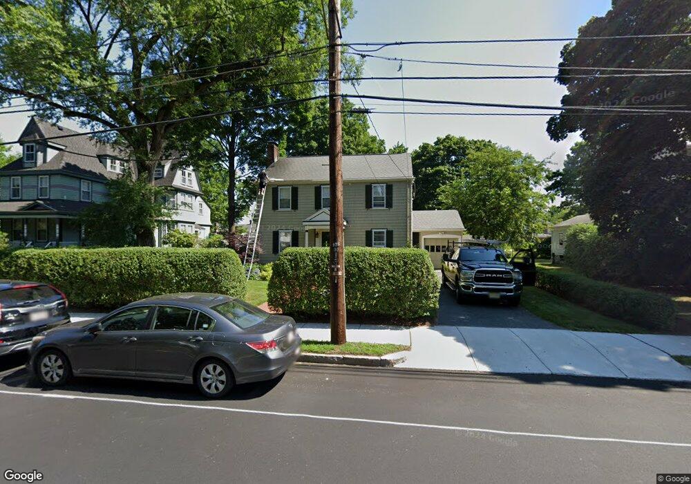
291 Crafts St Newtonville, MA 02460
Nonantum NeighborhoodEstimated Value: $1,243,000 - $1,324,582
4
Beds
2
Baths
2,362
Sq Ft
$549/Sq Ft
Est. Value
About This Home
This home is located at 291 Crafts St, Newtonville, MA 02460 and is currently estimated at $1,296,646, approximately $548 per square foot. 291 Crafts St is a home located in Middlesex County with nearby schools including Horace Mann Elementary School, Lincoln-Eliot Elementary School, and F.A. Day Middle School.
Ownership History
Date
Name
Owned For
Owner Type
Purchase Details
Closed on
Mar 20, 2025
Sold by
Solomon Martin E and Solomon Michelle L
Bought by
Solomon Ft and Solomon
Current Estimated Value
Purchase Details
Closed on
Apr 15, 1988
Sold by
Leahy Richard T
Bought by
Solomon Martin E
Create a Home Valuation Report for This Property
The Home Valuation Report is an in-depth analysis detailing your home's value as well as a comparison with similar homes in the area
Home Values in the Area
Average Home Value in this Area
Purchase History
| Date | Buyer | Sale Price | Title Company |
|---|---|---|---|
| Solomon Ft | -- | None Available | |
| Solomon Ft | -- | None Available | |
| Solomon Martin E | $250,000 | -- |
Source: Public Records
Mortgage History
| Date | Status | Borrower | Loan Amount |
|---|---|---|---|
| Previous Owner | Solomon Martin E | $33,000 | |
| Previous Owner | Solomon Martin E | $180,700 | |
| Previous Owner | Solomon Martin E | $183,000 | |
| Previous Owner | Solomon Martin E | $10,000 |
Source: Public Records
Tax History Compared to Growth
Tax History
| Year | Tax Paid | Tax Assessment Tax Assessment Total Assessment is a certain percentage of the fair market value that is determined by local assessors to be the total taxable value of land and additions on the property. | Land | Improvement |
|---|---|---|---|---|
| 2025 | $9,600 | $979,600 | $733,600 | $246,000 |
| 2024 | $9,283 | $951,100 | $712,200 | $238,900 |
| 2023 | $8,635 | $848,200 | $541,800 | $306,400 |
| 2022 | $8,262 | $785,400 | $501,700 | $283,700 |
| 2021 | $7,972 | $740,900 | $473,300 | $267,600 |
| 2020 | $7,735 | $740,900 | $473,300 | $267,600 |
| 2019 | $7,517 | $719,300 | $459,500 | $259,800 |
| 2018 | $7,115 | $657,600 | $414,000 | $243,600 |
| 2017 | $6,899 | $620,400 | $390,600 | $229,800 |
| 2016 | $6,598 | $579,800 | $365,000 | $214,800 |
| 2015 | $6,291 | $541,900 | $341,100 | $200,800 |
Source: Public Records
Map
Nearby Homes
- 57 Walnut St
- 177 Nevada St
- 354 Linwood Ave Unit 1
- 191 Linwood Ave
- 286 Nevada St Unit 286
- 282 Nevada St Unit 282
- 611 Watertown St Unit 14
- 32-34 Rossmere St
- 321 Albemarle Rd
- 42-44 Judkins St
- 168 Walnut St
- 43 Walker St
- 1 Farwell Cir
- 49 Hawthorn St
- 158 Adams St
- 11 Randlett Park
- 3 Ashmont Ave
- 77 Court St Unit 205
- 911 Washington St
- 188-190 Adams St
- 297 Crafts St
- 285 Crafts St
- 277 Crafts St
- 30 Fair Oaks Ave
- 36 Fair Oaks Ave
- 22 Fair Oaks Ave
- 309 Crafts St
- 303 Crafts St
- 303 Crafts St Unit SF
- 40 Fair Oaks Ave
- 16 Fair Oaks Ave
- 271 Crafts St
- 48 Fair Oaks Ave
- 21 Walnut St
- 21 Walnut St Unit 2
- 15 Walnut St
- 12 Fair Oaks Ave
- 315 Crafts St
- 27 Walnut St
- 99 Florence Ct Unit 3A-20