Studio
1
Bath
2,312
Sq Ft
17,424
Sq Ft
About This Home
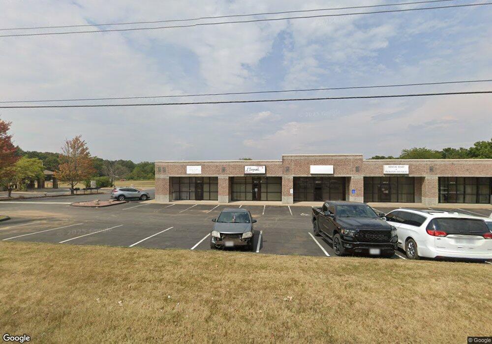
This home is located at 291 E State Hwy Cc, Nixa, MO 65714. 291 E State Hwy Cc is a home located in Christian County with nearby schools including High Pointe Elementary School, Summit Intermediate School, and Nixa Junior High School.
Ownership History
Date
Name
Owned For
Owner Type
Purchase Details
Closed on
Jan 7, 2025
Sold by
Merchants Field Llc
Bought by
Missouri Highways And Transportation Commissi
Purchase Details
Closed on
Jul 22, 2022
Sold by
Guaranty Bank
Bought by
Merchants Field Llc
Purchase Details
Closed on
Jan 18, 2008
Sold by
Wilson Timothy Todd and Revocable Living Trust Of Timo
Bought by
Merchants Field L L C
Create a Home Valuation Report for This Property
The Home Valuation Report is an in-depth analysis detailing your home's value as well as a comparison with similar homes in the area
Home Values in the Area
Average Home Value in this Area
Purchase History
| Date | Buyer | Sale Price | Title Company |
|---|---|---|---|
| Missouri Highways And Transportation Commissi | $550,000 | Preferred Title | |
| Missouri Highways And Transportation Commissi | $550,000 | Preferred Title | |
| Merchants Field Llc | -- | Hogan Land Title | |
| Merchants Field L L C | -- | None Available |
Source: Public Records
Tax History
| Year | Tax Paid | Tax Assessment Tax Assessment Total Assessment is a certain percentage of the fair market value that is determined by local assessors to be the total taxable value of land and additions on the property. | Land | Improvement |
|---|---|---|---|---|
| 2025 | $48,560 | $718,140 | -- | -- |
| 2024 | $48,560 | $738,910 | -- | -- |
| 2023 | $48,560 | $738,910 | -- | -- |
| 2022 | $45,765 | $695,520 | $0 | $0 |
| 2021 | $45,790 | $695,520 | $0 | $0 |
| 2020 | $45,602 | $695,520 | $0 | $0 |
| 2019 | $45,602 | $695,520 | $0 | $0 |
| 2018 | $42,458 | $695,520 | $0 | $0 |
| 2017 | $42,458 | $695,520 | $0 | $0 |
| 2016 | $41,789 | $695,520 | $0 | $0 |
| 2015 | $41,845 | $695,520 | $695,520 | $0 |
| 2014 | $40,720 | $693,730 | $0 | $0 |
| 2013 | $40,779 | $693,730 | $0 | $0 |
Source: Public Records
Map
Nearby Homes
- 000 N Pine St
- 109 W Oak St
- 204 W Oak St
- 1719 N Pine St
- 1721 N Pine St
- Lot 24 Bentwater Phase 3
- 1363 N Maxine Ave
- 703 W Laverne Dr
- 1327 N Maxine Ave
- 1313 N Maxine Ave
- Lot 20 the Village of Cloverhill
- 1301 N Maxine Ave
- Lot 15 the Village of Cloverhill
- 1383 N Maxine Ave
- 1281 N Maxine Ave
- 1343 N Maxine Ave
- Lot 19 the Village of Cloverhill
- Lot 25 the Village of Cloverhill
- Lot 31 the Village of Cloverhill
- 709 W Jackson Ave
- 151 E State Highway Cc
- 139 E State Highway Cc
- 1579 Rosewood Ln
- 1613 N State Highway Cc
- 1609 N State Highway Cc
- 1609 N State Highway Cc
- 1563 Rosewood Ln Unit B&A
- 1563 Rosewood Ln Unit Ste B
- 1564 N Main St
- 124 W Cedar St
- 1641 N State Highway Cc
- 1650 N State Highway Cc
- Tbd N State Highway Cc
- 1640 Lakeshore Dr
- 1659 N State Highway Cc
- 1676 N State Highway Cc
- 157 W Cedar St
- 1663 N State Highway Cc
- 230 W Cedar St
- 1635 Lakeshore Dr
Your Personal Tour Guide
Ask me questions while you tour the home.