291 Flag Swamp Rd North Dartmouth, MA 02747
Estimated Value: $865,000 - $958,589
4
Beds
4
Baths
2,713
Sq Ft
$335/Sq Ft
Est. Value
About This Home
This home is located at 291 Flag Swamp Rd, North Dartmouth, MA 02747 and is currently estimated at $907,897, approximately $334 per square foot. 291 Flag Swamp Rd is a home located in Bristol County with nearby schools including Dartmouth High School.
Ownership History
Date
Name
Owned For
Owner Type
Purchase Details
Closed on
Jan 29, 2009
Sold by
Choi Kyung-Sik
Bought by
Fairland Farm Llc
Current Estimated Value
Home Financials for this Owner
Home Financials are based on the most recent Mortgage that was taken out on this home.
Original Mortgage
$300,000
Interest Rate
5.28%
Mortgage Type
Purchase Money Mortgage
Purchase Details
Closed on
Nov 24, 2008
Sold by
Ashley Michael G
Bought by
Choi Kyung-Sik
Create a Home Valuation Report for This Property
The Home Valuation Report is an in-depth analysis detailing your home's value as well as a comparison with similar homes in the area
Home Values in the Area
Average Home Value in this Area
Purchase History
| Date | Buyer | Sale Price | Title Company |
|---|---|---|---|
| Fairland Farm Llc | $340,000 | -- | |
| Choi Kyung-Sik | $473,000 | -- |
Source: Public Records
Mortgage History
| Date | Status | Borrower | Loan Amount |
|---|---|---|---|
| Open | Choi Kyung-Sik | $1,239,702 | |
| Closed | Choi Kyung-Sik | $300,000 | |
| Previous Owner | Choi Kyung-Sik | $700,000 | |
| Previous Owner | Choi Kyung-Sik | $17,500 |
Source: Public Records
Tax History Compared to Growth
Tax History
| Year | Tax Paid | Tax Assessment Tax Assessment Total Assessment is a certain percentage of the fair market value that is determined by local assessors to be the total taxable value of land and additions on the property. | Land | Improvement |
|---|---|---|---|---|
| 2025 | $7,097 | $784,200 | $289,300 | $494,900 |
| 2024 | $6,584 | $720,300 | $282,900 | $437,400 |
| 2023 | $6,281 | $648,200 | $245,500 | $402,700 |
| 2022 | $6,135 | $592,200 | $245,500 | $346,700 |
| 2021 | $4,264 | $584,000 | $240,600 | $343,400 |
| 2020 | $5,761 | $529,500 | $214,200 | $315,300 |
| 2019 | $5,605 | $516,600 | $205,400 | $311,200 |
| 2018 | $3,987 | $476,300 | $208,900 | $267,400 |
| 2017 | $4,752 | $446,600 | $200,900 | $245,700 |
| 2016 | $4,644 | $438,900 | $195,900 | $243,000 |
| 2015 | $4,479 | $426,200 | $180,400 | $245,800 |
| 2014 | $4,390 | $420,500 | $180,400 | $240,100 |
Source: Public Records
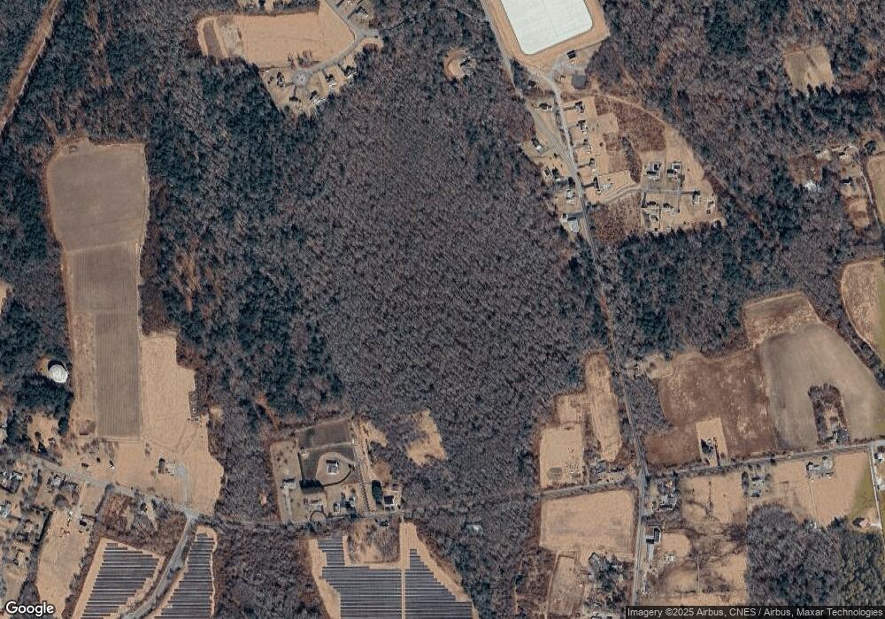
Map
Nearby Homes
- 264 Collins Corner Rd
- 300 High Hill Rd
- Lot 2/3 Quanapoag Rd
- 150 Quanapoag Rd
- 349 Old Fall River Rd
- 390 Old Fall River Rd
- 335 Old Fall River Rd
- 599 Quanapoag Rd
- 2-1 N Hixville Rd
- Lot 16-18 Old Fall River Rd
- 576 Faunce Corner Rd
- 491 Faunce Corner Rd
- 37 Maxine St
- ES Phillips Rd
- 411 Faunce Corner Rd
- 1350 Phillips Rd
- 309 Yellow Hill Rd
- 1475 Braley Rd Unit 17
- 1261 Church St Unit 70
- 1261 Church St Unit 53
- 124 Pine Island Rd
- 279 Flag Swamp Rd
- 276 Flag Swamp Rd
- 263 Flag Swamp Rd
- 272 Flag Swamp Rd
- 280 Flag Swamp Rd
- 262 Flag Swamp Rd
- 266 Flag Swamp Rd
- 258 Flag Swamp Rd
- 3 Running Deer Rd
- 4 Running Deer Rd
- 254 Flag Swamp Rd
- 400 Flag Swamp Rd
- 267 Flag Swamp Rd
- 293 Flag Swamp Rd
- 7 Running Deer Rd
- 8 Running Deer Rd
- 252 Flag Swamp Rd
- 274 Flag Swamp Rd
- 248 Flag Swamp Rd