291 Johnnie Collins Way Dahlonega, GA 30533
Estimated Value: $429,000 - $623,000
--
Bed
2
Baths
1,764
Sq Ft
$300/Sq Ft
Est. Value
About This Home
This home is located at 291 Johnnie Collins Way, Dahlonega, GA 30533 and is currently estimated at $528,850, approximately $299 per square foot. 291 Johnnie Collins Way is a home located in Lumpkin County with nearby schools including Clay County Middle School and Lumpkin County High School.
Ownership History
Date
Name
Owned For
Owner Type
Purchase Details
Closed on
May 18, 2022
Sold by
Gray Jill
Bought by
North Georgia Camp and Retreat Ministrie
Current Estimated Value
Purchase Details
Closed on
May 21, 2001
Sold by
Witch James
Bought by
Gray Jill
Purchase Details
Closed on
Mar 16, 2001
Bought by
Gray Jill
Purchase Details
Closed on
May 1, 1985
Bought by
Gray Jill
Create a Home Valuation Report for This Property
The Home Valuation Report is an in-depth analysis detailing your home's value as well as a comparison with similar homes in the area
Home Values in the Area
Average Home Value in this Area
Purchase History
| Date | Buyer | Sale Price | Title Company |
|---|---|---|---|
| North Georgia Camp | $560,000 | -- | |
| Gray Jill | -- | -- | |
| Gray Jill | $231,600 | -- | |
| Gray Jill | -- | -- |
Source: Public Records
Tax History Compared to Growth
Tax History
| Year | Tax Paid | Tax Assessment Tax Assessment Total Assessment is a certain percentage of the fair market value that is determined by local assessors to be the total taxable value of land and additions on the property. | Land | Improvement |
|---|---|---|---|---|
| 2024 | -- | $154,944 | $61,856 | $93,088 |
| 2023 | $0 | $138,576 | $52,099 | $86,477 |
| 2022 | $132 | $116,370 | $43,416 | $72,954 |
| 2021 | $0 | $104,135 | $43,416 | $60,719 |
| 2020 | $2,852 | $100,524 | $41,603 | $58,921 |
| 2019 | $2,852 | $100,524 | $41,603 | $58,921 |
| 2018 | $2,664 | $93,913 | $41,603 | $52,310 |
| 2017 | $0 | $91,571 | $41,603 | $49,968 |
| 2016 | $2,383 | $85,039 | $41,603 | $43,436 |
| 2015 | -- | $85,039 | $41,603 | $43,436 |
| 2014 | -- | $85,828 | $41,603 | $44,225 |
| 2013 | -- | $86,616 | $41,603 | $45,013 |
Source: Public Records
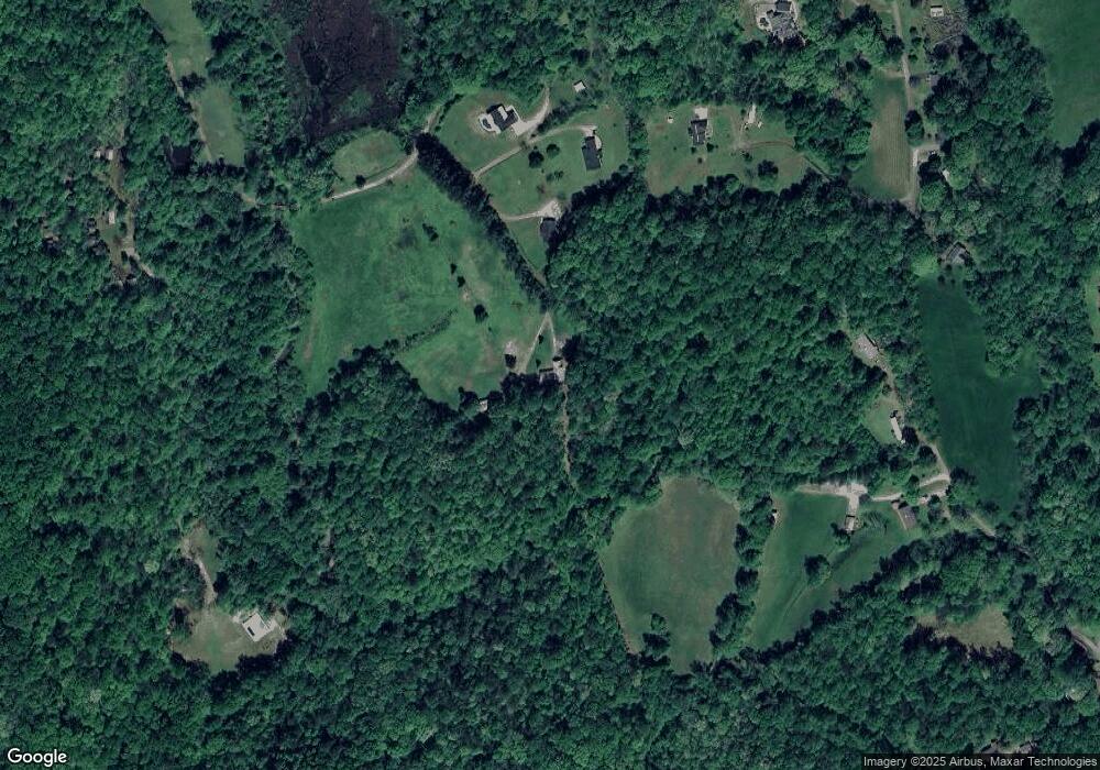
Map
Nearby Homes
- 70 Avery Trail
- 22 Deer Ridge Rd
- 357 Camp Wahsega Rd
- 64 Hickory Ln
- 955 Camp Wahsega Rd
- 1202 Oak Grove Rd
- 0 Camp Wahsega Rd Unit 7600956
- 0 Camp Wahsega Rd Unit 10547292
- 100 Sanders Blvd
- 120 Sanders Blvd
- 132 J Mountain Dr
- 181 Gilreath Way
- 26 Dowdy Ct
- 81 Anderson Dr
- 549 Ivy Terrace
- 121 Blair Ridge Rd
- 120 Blair Ridge Rd
- 96 Elbert Gaddis Rd
- 98 Elbert Gaddis Rd
- 303 Falls Mountain Dr
- 705 John W Moore Rd
- 99 Y Allen Oliver Place
- 275 Falls Mountain Dr
- 89 Y Allen Oliver Place
- 385 Cherrystone Walk
- 77 Y Allen Oliver Place
- 84 Y Allen Oliver Place
- 379 Cherrystone Walk
- 67 Y Allen Oliver Place
- 46 Fred Glisson Cir
- 66 Fred Glisson Cir
- 78 Fred Glisson Cir
- 722 Martins Grove Rd
- 600 Gilstrap Farm Rd
- 221 John W Moore Rd
- 528 Martins Grove Rd
- 106 Reid Ln
- 8 Highlander Dr
- 100 Fred Glisson Cir