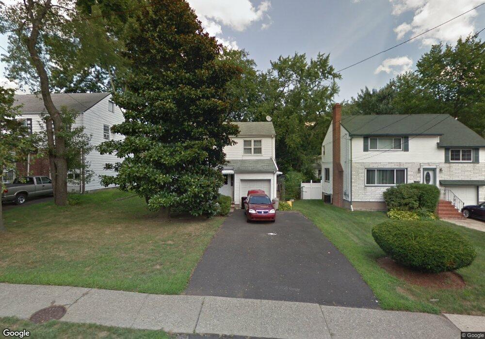
291 Liberty Rd Englewood, NJ 07631
Estimated Value: $503,000 - $787,000
4
Beds
2
Baths
1,500
Sq Ft
$403/Sq Ft
Est. Value
About This Home
This home is located at 291 Liberty Rd, Englewood, NJ 07631 and is currently estimated at $604,680, approximately $403 per square foot. 291 Liberty Rd is a home located in Bergen County with nearby schools including Dr Mccloud Elementary School, Dr J Grieco Elementary School, and J.E. Dismus Middle School.
Ownership History
Date
Name
Owned For
Owner Type
Purchase Details
Closed on
Oct 26, 2018
Sold by
Fnma
Bought by
283 West Englewood Llc
Current Estimated Value
Home Financials for this Owner
Home Financials are based on the most recent Mortgage that was taken out on this home.
Original Mortgage
$308,500
Outstanding Balance
$270,709
Interest Rate
4.7%
Mortgage Type
New Conventional
Estimated Equity
$333,971
Purchase Details
Closed on
Oct 24, 2017
Sold by
Saudino Michael
Bought by
Federal National Mortgage Association
Create a Home Valuation Report for This Property
The Home Valuation Report is an in-depth analysis detailing your home's value as well as a comparison with similar homes in the area
Home Values in the Area
Average Home Value in this Area
Purchase History
| Date | Buyer | Sale Price | Title Company |
|---|---|---|---|
| 283 West Englewood Llc | $200,000 | Foundation Title Llc | |
| Federal National Mortgage Association | -- | -- |
Source: Public Records
Mortgage History
| Date | Status | Borrower | Loan Amount |
|---|---|---|---|
| Open | 283 West Englewood Llc | $308,500 |
Source: Public Records
Tax History Compared to Growth
Tax History
| Year | Tax Paid | Tax Assessment Tax Assessment Total Assessment is a certain percentage of the fair market value that is determined by local assessors to be the total taxable value of land and additions on the property. | Land | Improvement |
|---|---|---|---|---|
| 2025 | $7,197 | $234,200 | $132,000 | $102,200 |
| 2024 | $6,979 | $234,200 | $132,000 | $102,200 |
| 2023 | $6,907 | $234,200 | $132,000 | $102,200 |
| 2022 | $6,907 | $234,200 | $132,000 | $102,200 |
| 2021 | $6,768 | $234,200 | $132,000 | $102,200 |
| 2020 | $6,593 | $234,200 | $132,000 | $102,200 |
| 2019 | $6,532 | $234,200 | $132,000 | $102,200 |
| 2018 | $6,375 | $234,200 | $132,000 | $102,200 |
| 2017 | $6,185 | $234,200 | $132,000 | $102,200 |
| 2016 | $5,988 | $234,200 | $132,000 | $102,200 |
| 2015 | $5,937 | $234,200 | $132,000 | $102,200 |
| 2014 | $5,888 | $234,200 | $132,000 | $102,200 |
Source: Public Records
Map
Nearby Homes
- 130 Glenbrook Pkwy Unit 7D
- 138 Knickerbocker Rd
- 285 W Palisade Ave
- 170 Knickerbocker Rd
- 190 Knickerbocker Rd Unit 17
- 320 W Palisade Ave
- 180 Central Ave Unit A
- 180 Central Ave
- 206 Central Ave
- 358 Miller Ave
- 384 W Palisade Ave
- 142 Slocum Ave
- 57 Brookway Ave Unit 2D
- 227-229 W Englewood Ave
- 400 Lantana Ave
- 1667 Ardsley Ct
- 201 W Englewood Ave
- 208 Manhattan Ave
- 105 Orange St
- 322 W Englewood Ave