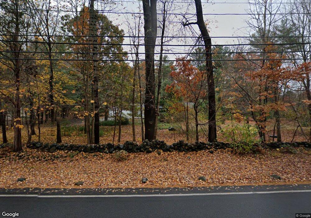
291 Linebrook Rd Ipswich, MA 01938
Estimated Value: $730,000 - $827,000
2
Beds
2
Baths
1,360
Sq Ft
$558/Sq Ft
Est. Value
About This Home
This home is located at 291 Linebrook Rd, Ipswich, MA 01938 and is currently estimated at $758,451, approximately $557 per square foot. 291 Linebrook Rd is a home located in Essex County with nearby schools including Ipswich High School, Clark School, and North Shore Montessori School.
Ownership History
Date
Name
Owned For
Owner Type
Purchase Details
Closed on
Jul 29, 2019
Sold by
Savage Richard W
Bought by
Savage Ann D
Current Estimated Value
Purchase Details
Closed on
May 23, 2016
Sold by
Savage Elizabeth D Est and Savage
Bought by
Savage Ann D and Savage Richard W
Purchase Details
Closed on
Jan 5, 2011
Sold by
Savage David W and Savage Ann
Bought by
Savage Elizabeth D
Purchase Details
Closed on
Aug 5, 2010
Sold by
Savage Ann D and Savage David W
Bought by
Savage David W and Savage Elizabeth D
Purchase Details
Closed on
Apr 3, 2008
Sold by
Savage David W
Bought by
Savage Ann D
Create a Home Valuation Report for This Property
The Home Valuation Report is an in-depth analysis detailing your home's value as well as a comparison with similar homes in the area
Home Values in the Area
Average Home Value in this Area
Purchase History
| Date | Buyer | Sale Price | Title Company |
|---|---|---|---|
| Savage Ann D | $202,532 | -- | |
| Savage Ann D | $202,532 | -- | |
| Savage Ann D | -- | -- | |
| Savage Ann D | -- | -- | |
| Savage Elizabeth D | -- | -- | |
| Savage Elizabeth D | -- | -- | |
| Savage David W | -- | -- | |
| Savage David W | -- | -- | |
| Savage Ann D | -- | -- | |
| Savage Ann D | -- | -- |
Source: Public Records
Tax History
| Year | Tax Paid | Tax Assessment Tax Assessment Total Assessment is a certain percentage of the fair market value that is determined by local assessors to be the total taxable value of land and additions on the property. | Land | Improvement |
|---|---|---|---|---|
| 2025 | $7,352 | $659,400 | $393,700 | $265,700 |
| 2024 | $7,491 | $658,300 | $397,700 | $260,600 |
| 2023 | $7,316 | $598,200 | $345,400 | $252,800 |
| 2022 | $7,126 | $554,100 | $328,000 | $226,100 |
| 2021 | $7,044 | $532,800 | $323,600 | $209,200 |
| 2020 | $7,237 | $516,200 | $330,200 | $186,000 |
| 2019 | $7,111 | $504,700 | $317,100 | $187,600 |
| 2018 | $6,817 | $478,700 | $301,900 | $176,800 |
| 2017 | $6,520 | $459,500 | $288,800 | $170,700 |
| 2016 | $5,898 | $397,200 | $249,600 | $147,600 |
| 2015 | $5,203 | $385,100 | $245,200 | $139,900 |
Source: Public Records
Map
Nearby Homes
- 75 Country Club Way
- 196 Country Club Way
- 38 Buttonwood
- 38 Buttonwood Unit 30
- 30 Buttonwood
- 4 Sheppards Way
- 16 Fairway Dr Unit 16
- 54 Willowdale Rd
- 37 East St
- 45 Pineswamp Rd
- 76-78 Daniels Rd
- 125 Topsfield Rd
- 17 Arthur Gordon Dr
- 12 Campmeeting Rd
- 4 Ruby Cir
- 480 Newburyport Turnpike
- 34 Central St Unit 2
- 34 Central St Unit 1
- 870 Haverhill St Unit 2B
- 870 Haverhill St Unit 21B
- 293 Linebrook Rd
- 4 Howe St
- 2 Howe St
- 6 Howe St
- 8 Howe St
- 297 Linebrook Rd
- 10 Howe St
- 12 Howe St
- 285 Linebrook Rd
- 299 Linebrook Rd
- 9 Fille St
- 14 Howe St
- 283 Linebrook Rd
- 7 Fille St
- 16 Howe St
- 5 Primrose Ln Unit 5
- 3 Primrose Ln Unit 3
- 19 Primrose Ln Unit 19
- 13 Primrose Ln Unit 13
- 17 Primrose Ln Unit 17
