291 Lockhard Cir Troutman, NC 28166
Estimated Value: $707,325 - $1,187,000
3
Beds
2
Baths
2,113
Sq Ft
$419/Sq Ft
Est. Value
About This Home
This home is located at 291 Lockhard Cir, Troutman, NC 28166 and is currently estimated at $884,831, approximately $418 per square foot. 291 Lockhard Cir is a home located in Iredell County with nearby schools including Troutman Elementary School, Troutman Middle School, and South Iredell High School.
Ownership History
Date
Name
Owned For
Owner Type
Purchase Details
Closed on
Aug 30, 2018
Sold by
Sabiston Arnette Andy Clayton and Sabiston Arnette Cheryl
Bought by
Sabiston Arnette Andy Clayton and Sabiston Arnette Cheryl
Current Estimated Value
Purchase Details
Closed on
Aug 21, 2018
Sold by
Black Angela Arnette and Black William Samuel
Bought by
Arnette Andy Clayton
Purchase Details
Closed on
Jul 2, 1997
Sold by
Lancaster Bryant F and Lancaster Joanne
Bought by
Lancaster Joanne P
Purchase Details
Closed on
Sep 1, 1984
Purchase Details
Closed on
Aug 1, 1984
Purchase Details
Closed on
Jun 1, 1965
Create a Home Valuation Report for This Property
The Home Valuation Report is an in-depth analysis detailing your home's value as well as a comparison with similar homes in the area
Home Values in the Area
Average Home Value in this Area
Purchase History
| Date | Buyer | Sale Price | Title Company |
|---|---|---|---|
| Sabiston Arnette Andy Clayton | -- | None Available | |
| Arnette Andy Clayton | $277,000 | None Available | |
| Lancaster Joanne P | -- | -- | |
| -- | $30,000 | -- | |
| -- | $13,000 | -- | |
| -- | $2,200 | -- |
Source: Public Records
Tax History Compared to Growth
Tax History
| Year | Tax Paid | Tax Assessment Tax Assessment Total Assessment is a certain percentage of the fair market value that is determined by local assessors to be the total taxable value of land and additions on the property. | Land | Improvement |
|---|---|---|---|---|
| 2024 | $3,564 | $583,990 | $337,500 | $246,490 |
| 2023 | $3,564 | $583,990 | $337,500 | $246,490 |
| 2022 | $2,442 | $373,580 | $187,500 | $186,080 |
| 2021 | $2,400 | $373,580 | $187,500 | $186,080 |
| 2020 | $2,400 | $373,580 | $187,500 | $186,080 |
| 2019 | $2,307 | $373,580 | $187,500 | $186,080 |
| 2018 | $2,219 | $362,700 | $187,500 | $175,200 |
| 2017 | $2,219 | $362,700 | $187,500 | $175,200 |
| 2016 | $2,219 | $362,700 | $187,500 | $175,200 |
| 2015 | $2,219 | $362,700 | $187,500 | $175,200 |
| 2014 | $2,076 | $367,910 | $187,500 | $180,410 |
Source: Public Records
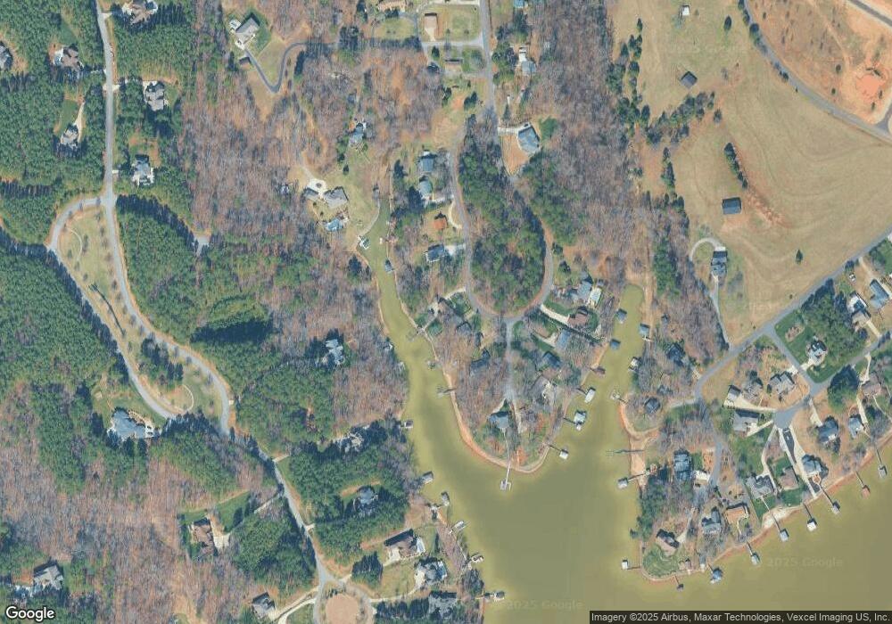
Map
Nearby Homes
- 111 Cinder Ridge Ct
- 119 Cinder Ridge Ct
- 177 Brer Fox Trail
- 157 Silver Falls Dr
- 0 Brer Fox Trail Unit 6 CAR4256803
- 115 Bentley Ct Unit 15
- 125 Bentley Ct Unit 14
- 120 Bentley Ct Unit 5
- 110 Emmaline Ct
- 407 State Park Rd
- 134 Honeycutt Rd Unit 6
- 134 Honeycutt Rd Unit 5
- 134 Honeycutt Rd Unit 4
- 134 Honeycutt Rd Unit 3
- 134 Honeycutt Rd Unit 2
- 134 Honeycutt Rd Unit 1
- 172 Tennessee Cir
- 164 Crooked Branch Way
- 181 Stillwater Rd
- 134 Millard Ln
- 287 Lockhard Cir
- 22 & 23 Lockhard Creek Unit 22 & 23
- 295 Lockhard Cir
- 106 Arbor Way Ln
- 110 Arbor Way Ln
- Lot 18 Arbor Way Ln
- 00 Arbor Way Ln Unit 18
- 305 Lockhard Cir
- 107 Arbor Way Ln
- 221 Silver Falls Dr Unit 615
- 221 Silver Falls Dr Unit 615/616
- 279 Lockhard Cir
- 311 Lockhard Cir
- 111 Arbor Way Ln
- 275 Lockhard Cir
- 116 Arbor Way Ln
- 313 Lockhard Cir
- 117 Arbor Way Ln
- 2223 Lockhard Cir Unit 22 & 23
- 225 Silver Falls Dr Unit 617