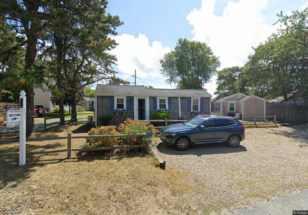
291 Lower County Rd Unit B Dennis Port, MA 02639
Dennis Port NeighborhoodEstimated Value: $326,000 - $375,102
2
Beds
1
Bath
650
Sq Ft
$547/Sq Ft
Est. Value
About This Home
This home is located at 291 Lower County Rd Unit B, Dennis Port, MA 02639 and is currently estimated at $355,276, approximately $546 per square foot. 291 Lower County Rd Unit B is a home located in Barnstable County with nearby schools including Dennis-Yarmouth Regional High School and St. Pius X. School.
Ownership History
Date
Name
Owned For
Owner Type
Purchase Details
Closed on
Nov 19, 2010
Sold by
Lawlor Daniel and Lawlor Annellen
Bought by
Feeney Peter and Feeney Patricia A
Current Estimated Value
Purchase Details
Closed on
Oct 3, 2001
Sold by
Ritter Donald L and Ritter Patricia C
Bought by
Lawlor Daniel and Lawlor Annellen
Purchase Details
Closed on
Mar 6, 2000
Sold by
Chevalier Normand R and Chevalier Pauline A
Bought by
Ritter Donald L and Ritter Patricia C
Create a Home Valuation Report for This Property
The Home Valuation Report is an in-depth analysis detailing your home's value as well as a comparison with similar homes in the area
Home Values in the Area
Average Home Value in this Area
Purchase History
| Date | Buyer | Sale Price | Title Company |
|---|---|---|---|
| Feeney Peter | $100,000 | -- | |
| Feeney Peter | $100,000 | -- | |
| Lawlor Daniel | $68,000 | -- | |
| Lawlor Daniel | $68,000 | -- | |
| Ritter Donald L | $48,000 | -- | |
| Ritter Donald L | $48,000 | -- |
Source: Public Records
Tax History Compared to Growth
Tax History
| Year | Tax Paid | Tax Assessment Tax Assessment Total Assessment is a certain percentage of the fair market value that is determined by local assessors to be the total taxable value of land and additions on the property. | Land | Improvement |
|---|---|---|---|---|
| 2025 | $1,402 | $323,800 | $0 | $323,800 |
| 2024 | $1,326 | $302,000 | $0 | $302,000 |
| 2023 | $1,156 | $247,600 | $0 | $247,600 |
| 2022 | $1,118 | $199,700 | $0 | $199,700 |
| 2021 | $1,085 | $179,900 | $0 | $179,900 |
| 2020 | $1,065 | $174,600 | $0 | $174,600 |
| 2019 | $1,038 | $168,200 | $0 | $168,200 |
| 2018 | $1,017 | $160,400 | $0 | $160,400 |
| 2017 | $986 | $160,400 | $0 | $160,400 |
| 2016 | $744 | $114,000 | $0 | $114,000 |
| 2015 | $730 | $114,000 | $0 | $114,000 |
| 2014 | $724 | $114,000 | $0 | $114,000 |
Source: Public Records
Map
Nearby Homes
- 22 Ferncliff Rd
- 102 Sea St
- 37-A Beach Hills Rd
- 37 Beach Hills Rd
- 18 Holiday Ln
- 262 Old Wharf Rd Unit 67
- 262 Old Wharf Rd Unit 5
- 262 Old Wharf Rd Unit 5
- 262 Old Wharf Rd Unit 87
- 104 Toms Path
- 104 Toms Path
- 405 Old Wharf Rd Unit B204
- 405 Old Wharf Rd Unit B204
- 230 Old Wharf Rd Unit 272
- 241 Old Wharf Rd Unit 82
- 241 Old Wharf Rd Unit 127
- 12 Cross St
- 217 Old Wharf Rd Unit 64
- 268 Main St
- 154 Old Wharf Rd Unit 26
- 291 Lower County Rd Unit G
- 291 Lower County Rd Unit F
- 291 Lower County Rd Unit E
- 291 Lower County Rd Unit D
- 291 Lower County Rd Unit C
- 291 Lower County Rd Unit A
- 291 Lower County Rd Unit UN-A
- 291 Lower County Rd
- 2 Laurel Rd
- 291 Lower County Rd
- 6 Myrtle Rd
- 8 Myrtle Rd
- 6 Myrtle Rd
- 10 Myrtle Rd
- 4 Myrtle Rd
- 10 Laurel Rd
- 3 Laurel Rd
- 1 Laurel Rd
- 1 Laurel Rd Unit 1
- 1 Laurel Rd Unit U3