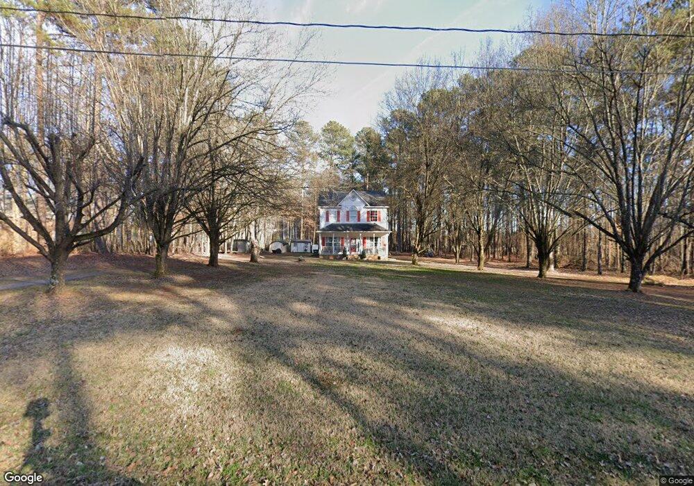
291 Overhead Bridge Rd Mooresville, NC 28115
Estimated Value: $303,003 - $339,000
3
Beds
3
Baths
1,584
Sq Ft
$203/Sq Ft
Est. Value
About This Home
This home is located at 291 Overhead Bridge Rd, Mooresville, NC 28115 and is currently estimated at $321,751, approximately $203 per square foot. 291 Overhead Bridge Rd is a home located in Iredell County with nearby schools including East Mooresville Intermediate School, Park View Elementary School, and Mooresville Middle.
Ownership History
Date
Name
Owned For
Owner Type
Purchase Details
Closed on
Nov 17, 1998
Sold by
Henrickson Michael E
Bought by
Dupuis Richard E and Dupuis Carrie L
Current Estimated Value
Home Financials for this Owner
Home Financials are based on the most recent Mortgage that was taken out on this home.
Original Mortgage
$130,150
Outstanding Balance
$29,034
Interest Rate
6.84%
Estimated Equity
$292,717
Purchase Details
Closed on
Nov 1, 1995
Purchase Details
Closed on
Jun 1, 1991
Purchase Details
Closed on
Dec 1, 1988
Create a Home Valuation Report for This Property
The Home Valuation Report is an in-depth analysis detailing your home's value as well as a comparison with similar homes in the area
Home Values in the Area
Average Home Value in this Area
Purchase History
| Date | Buyer | Sale Price | Title Company |
|---|---|---|---|
| Dupuis Richard E | $137,000 | -- | |
| -- | $35,000 | -- | |
| -- | -- | -- | |
| -- | -- | -- |
Source: Public Records
Mortgage History
| Date | Status | Borrower | Loan Amount |
|---|---|---|---|
| Open | Dupuis Richard E | $130,150 |
Source: Public Records
Tax History Compared to Growth
Tax History
| Year | Tax Paid | Tax Assessment Tax Assessment Total Assessment is a certain percentage of the fair market value that is determined by local assessors to be the total taxable value of land and additions on the property. | Land | Improvement |
|---|---|---|---|---|
| 2024 | $1,366 | $175,270 | $30,000 | $145,270 |
| 2023 | $1,366 | $175,270 | $30,000 | $145,270 |
| 2022 | $1,153 | $134,510 | $30,000 | $104,510 |
| 2021 | $1,149 | $134,510 | $30,000 | $104,510 |
| 2020 | $1,149 | $134,510 | $30,000 | $104,510 |
| 2019 | $1,109 | $134,510 | $30,000 | $104,510 |
| 2018 | $1,025 | $124,380 | $30,000 | $94,380 |
| 2017 | $1,025 | $124,390 | $30,000 | $94,390 |
| 2016 | $1,025 | $124,390 | $30,000 | $94,390 |
| 2015 | $1,025 | $124,390 | $30,000 | $94,390 |
| 2014 | $1,010 | $129,430 | $30,000 | $99,430 |
Source: Public Records
Map
Nearby Homes
- 0 Oakridge Farm Hwy Unit CAR4316361
- 210 Devon Forest Dr
- 103 Fosters Glen Place
- 920 Oakridge Farm Hwy
- 620 Brookwood Dr
- 827 Brookwood Dr
- 141 Stafford Ln
- 00 Browns Rink Dr
- 13 Cascade St
- 210 Mazeppa Rd
- 107 Morden Loop
- 0 Mazeppa Rd Unit 3762905
- 172 Caversham Dr
- 112 Sugar Thyme Ln
- 140 Flowering Grove Ln
- 1502 Mount Ulla Hwy
- Lot 1 W Park Ave
- 107 Wellesley Ln
- 178 Wellshire St
- 164 Flowering Grove Ln
- 106 Scotland Dr
- 101 Newcastle Ct
- 000 Oakridge Farm Rd
- 116 Scotland Dr
- 107 Scotland Dr
- 0 Oakridge Farm Hwy Unit CAR4224672
- 0 Oakridge Farm Hwy Unit 3663804
- 0 Oakridge Farm Hwy Unit 1
- 795 Oak Ridge Farm Hwy
- 119 Scotland Dr
- 814 Oakridge Farm Hwy Unit Lot C
- 814 Oakridge Farm Hwy Unit Lot B
- 814 Oakridge Farm Hwy Unit Lot A
- 814 Oakridge Farm Hwy
- 798 Oak Ridge Farm Hwy
- 798 Oakridge Farm Hwy Unit E
- 102 Newcastle Ct
- 780 Oak Ridge Farm Hwy
- 130 Scotland Dr
- 125 Newcastle Ct