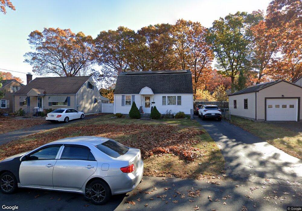
291 Pershing Ave New Britain, CT 06053
Estimated Value: $267,000 - $326,000
3
Beds
1
Bath
1,562
Sq Ft
$190/Sq Ft
Est. Value
About This Home
This home is located at 291 Pershing Ave, New Britain, CT 06053 and is currently estimated at $296,002, approximately $189 per square foot. 291 Pershing Ave is a home located in Hartford County with nearby schools including Gaffney School and Slade Middle School.
Ownership History
Date
Name
Owned For
Owner Type
Purchase Details
Closed on
Aug 28, 2006
Sold by
Morton Eugene M and Pertee-Morton Livert T
Bought by
Ozga Jan and Ozga Boguslawa K
Current Estimated Value
Home Financials for this Owner
Home Financials are based on the most recent Mortgage that was taken out on this home.
Original Mortgage
$177,500
Outstanding Balance
$107,522
Interest Rate
6.83%
Estimated Equity
$188,480
Purchase Details
Closed on
Jul 18, 2002
Sold by
Dagata Tr Rita M
Bought by
Morton Eugene M and Portee-Morton Livern T
Home Financials for this Owner
Home Financials are based on the most recent Mortgage that was taken out on this home.
Original Mortgage
$124,053
Interest Rate
6.73%
Create a Home Valuation Report for This Property
The Home Valuation Report is an in-depth analysis detailing your home's value as well as a comparison with similar homes in the area
Home Values in the Area
Average Home Value in this Area
Purchase History
| Date | Buyer | Sale Price | Title Company |
|---|---|---|---|
| Ozga Jan | $184,900 | -- | |
| Morton Eugene M | $63,000 | -- | |
| Morton Eugene M | $63,000 | -- |
Source: Public Records
Mortgage History
| Date | Status | Borrower | Loan Amount |
|---|---|---|---|
| Open | Morton Eugene M | $177,500 | |
| Previous Owner | Morton Eugene M | $25,000 | |
| Previous Owner | Morton Eugene M | $124,053 |
Source: Public Records
Tax History
| Year | Tax Paid | Tax Assessment Tax Assessment Total Assessment is a certain percentage of the fair market value that is determined by local assessors to be the total taxable value of land and additions on the property. | Land | Improvement |
|---|---|---|---|---|
| 2025 | $5,098 | $130,130 | $52,500 | $77,630 |
| 2024 | $5,152 | $130,130 | $52,500 | $77,630 |
| 2023 | $4,981 | $130,130 | $52,500 | $77,630 |
| 2022 | $4,494 | $90,790 | $24,220 | $66,570 |
| 2021 | $4,494 | $90,790 | $24,220 | $66,570 |
| 2020 | $4,585 | $90,790 | $24,220 | $66,570 |
| 2019 | $4,585 | $90,790 | $24,220 | $66,570 |
| 2018 | $4,585 | $90,790 | $24,220 | $66,570 |
| 2017 | $4,033 | $79,870 | $20,160 | $59,710 |
| 2016 | $4,033 | $79,870 | $20,160 | $59,710 |
| 2015 | $3,914 | $79,870 | $20,160 | $59,710 |
| 2014 | $3,914 | $79,870 | $20,160 | $59,710 |
Source: Public Records
Map
Nearby Homes
Your Personal Tour Guide
Ask me questions while you tour the home.