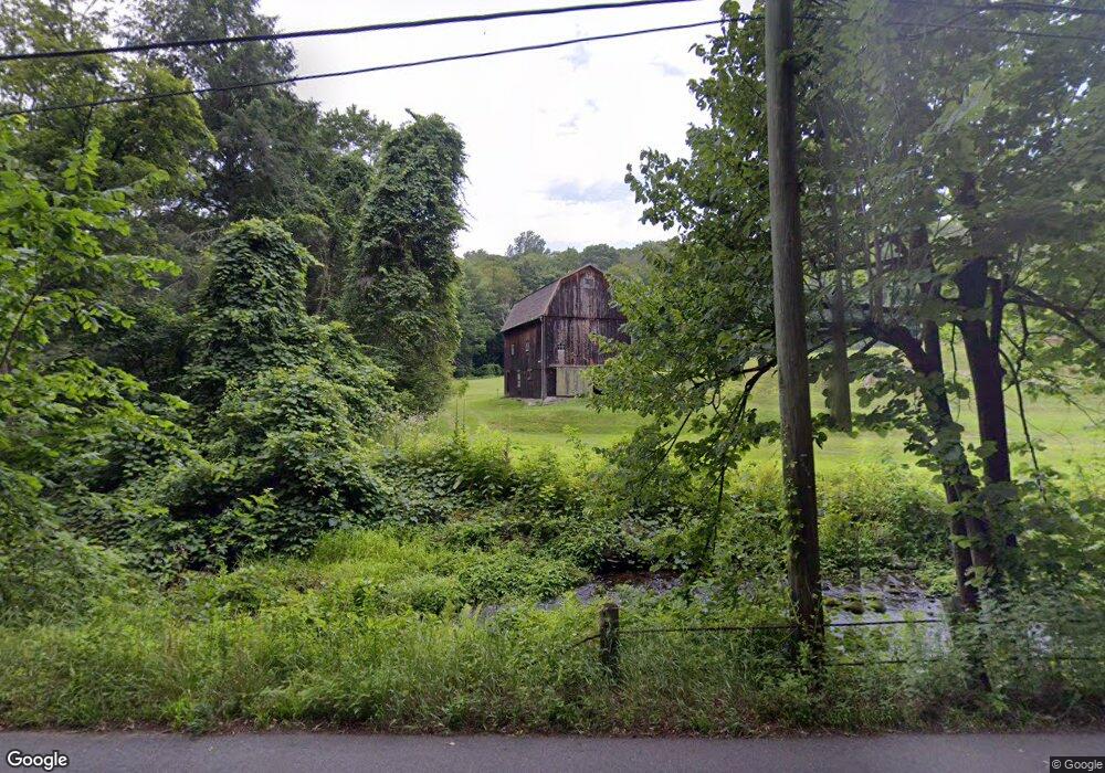
291 Poverty Hollow Rd Redding, CT 06896
Estimated Value: $793,577 - $914,000
3
Beds
2
Baths
1,784
Sq Ft
$471/Sq Ft
Est. Value
About This Home
This home is located at 291 Poverty Hollow Rd, Redding, CT 06896 and is currently estimated at $839,526, approximately $470 per square foot. 291 Poverty Hollow Rd is a home located in Fairfield County with nearby schools including Redding Elementary School, John Read Middle School, and Joel Barlow High School.
Ownership History
Date
Name
Owned For
Owner Type
Purchase Details
Closed on
Mar 1, 2001
Sold by
Walsh Richard T and Walsh Toni C
Bought by
Banik Douglas H and Abbe Lauren C
Current Estimated Value
Create a Home Valuation Report for This Property
The Home Valuation Report is an in-depth analysis detailing your home's value as well as a comparison with similar homes in the area
Home Values in the Area
Average Home Value in this Area
Purchase History
| Date | Buyer | Sale Price | Title Company |
|---|---|---|---|
| Banik Douglas H | $600,000 | -- |
Source: Public Records
Mortgage History
| Date | Status | Borrower | Loan Amount |
|---|---|---|---|
| Open | Banik Douglas H | $67,000 | |
| Open | Banik Douglas H | $417,000 | |
| Closed | Banik Douglas H | $60,000 | |
| Closed | Banik Douglas H | $472,000 |
Source: Public Records
Tax History Compared to Growth
Tax History
| Year | Tax Paid | Tax Assessment Tax Assessment Total Assessment is a certain percentage of the fair market value that is determined by local assessors to be the total taxable value of land and additions on the property. | Land | Improvement |
|---|---|---|---|---|
| 2025 | $9,511 | $321,980 | $178,980 | $143,000 |
| 2024 | $9,247 | $321,980 | $178,980 | $143,000 |
| 2023 | $8,916 | $321,980 | $178,980 | $143,000 |
| 2022 | $9,761 | $292,780 | $191,280 | $101,500 |
| 2021 | $9,615 | $292,780 | $191,280 | $101,500 |
| 2020 | $9,615 | $292,780 | $191,280 | $101,500 |
| 2019 | $9,615 | $292,780 | $191,280 | $101,500 |
| 2018 | $9,287 | $292,780 | $191,280 | $101,500 |
| 2017 | $11,382 | $384,280 | $227,180 | $157,100 |
| 2016 | $11,236 | $384,280 | $227,180 | $157,100 |
| 2015 | $11,110 | $384,280 | $227,180 | $157,100 |
| 2014 | $11,110 | $384,280 | $227,180 | $157,100 |
Source: Public Records
Map
Nearby Homes
- 477 Newtown Turnpike
- 241 Black Rock Turnpike
- 9 Vona Way
- lot5B Nicolina Way
- 9 Nicolina Way
- 18 Sebastian Tr
- 5 Vona Way
- 4 Vona Way
- lot22 Vona Way
- 6 Vona Way
- 28 Sunnyview Dr
- 41 Sullivan Dr
- 4 Wentworth Dr
- 9A Oak Ridge Dr
- 30 Hi Barlow Rd
- 22 Serene Way
- 1 Hi Barlow Rd
- 52 Aunt Park Ln
- 294 Maple Rd
- 7 Jet Brook Rd
- 292 Poverty Hollow Rd
- 297 Poverty Hollow Rd
- 285 Poverty Hollow Rd
- 300 Poverty Hollow Rd
- 274 Poverty Hollow Rd
- 280 Poverty Hollow Rd
- 278 Poverty Hollow Rd
- 27 Old Hattertown Rd
- 279 Poverty Hollow Rd
- 25 Old Hattertown Rd
- 80 Hopewell Woods Rd
- 258 Poverty Hollow Rd
- 76 Hopewell Woods Rd
- 252 Poverty Hollow Rd
- 36 Great Meadow Rd
- 24 Old Hattertown Rd
- 15 Old Hattertown Rd
- 32 Great Meadow Rd
- 28 Great Meadow Rd
- 15 Middlebrook Pond Rd