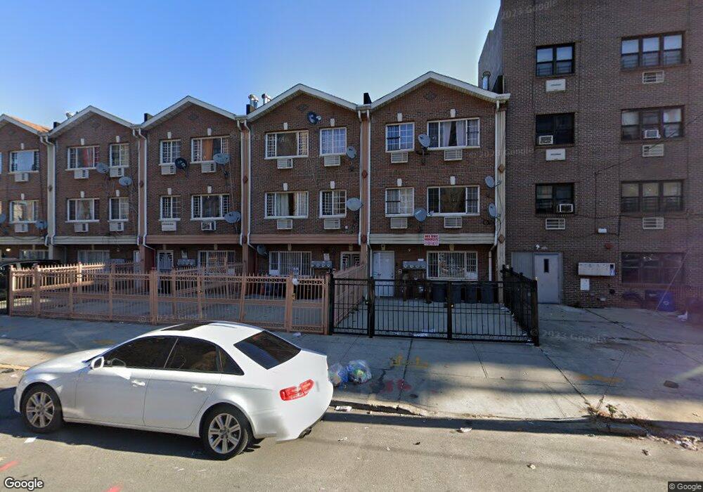
291 Powell St Unit 3rd Fl Brooklyn, NY 11212
Brownsville NeighborhoodEstimated Value: $846,000 - $1,444,000
3
Beds
2
Baths
3,019
Sq Ft
$379/Sq Ft
Est. Value
About This Home
This home is located at 291 Powell St Unit 3rd Fl, Brooklyn, NY 11212 and is currently estimated at $1,144,382, approximately $379 per square foot. 291 Powell St Unit 3rd Fl is a home located in Kings County with nearby schools including P.S. 150 - Christopher, P.S. 156 Waverly, and P.S. Is 155 Nicholas Herkimer.
Ownership History
Date
Name
Owned For
Owner Type
Purchase Details
Closed on
Jul 17, 2013
Sold by
Banful Helena
Bought by
Banful Helena and Jerrick Delroy
Current Estimated Value
Purchase Details
Closed on
Jan 23, 2008
Sold by
Rdg Powell Llc
Bought by
Banful Helena
Home Financials for this Owner
Home Financials are based on the most recent Mortgage that was taken out on this home.
Original Mortgage
$624,000
Interest Rate
6.2%
Mortgage Type
Purchase Money Mortgage
Create a Home Valuation Report for This Property
The Home Valuation Report is an in-depth analysis detailing your home's value as well as a comparison with similar homes in the area
Home Values in the Area
Average Home Value in this Area
Purchase History
| Date | Buyer | Sale Price | Title Company |
|---|---|---|---|
| Banful Helena | -- | -- | |
| Banful Helena | -- | -- | |
| Banful Helena | $780,000 | -- | |
| Banful Helena | $780,000 | -- |
Source: Public Records
Mortgage History
| Date | Status | Borrower | Loan Amount |
|---|---|---|---|
| Previous Owner | Banful Helena | $624,000 |
Source: Public Records
Tax History Compared to Growth
Tax History
| Year | Tax Paid | Tax Assessment Tax Assessment Total Assessment is a certain percentage of the fair market value that is determined by local assessors to be the total taxable value of land and additions on the property. | Land | Improvement |
|---|---|---|---|---|
| 2025 | $8,257 | $64,380 | $22,380 | $42,000 |
| 2024 | $8,257 | $55,200 | $22,380 | $32,820 |
| 2023 | $8,349 | $48,780 | $22,380 | $26,400 |
| 2022 | $6,438 | $42,960 | $22,380 | $20,580 |
| 2021 | $4,906 | $41,880 | $22,380 | $19,500 |
| 2020 | $1,554 | $34,260 | $22,380 | $11,880 |
| 2019 | $1,498 | $34,260 | $22,380 | $11,880 |
| 2018 | $110 | $35,488 | $19,046 | $16,442 |
| 2017 | $110 | $33,480 | $22,380 | $11,100 |
| 2016 | $108 | $36,000 | $22,380 | $13,620 |
| 2015 | $4,289 | $39,329 | $23,770 | $15,559 |
| 2014 | $4,289 | $37,103 | $22,424 | $14,679 |
Source: Public Records
Map
Nearby Homes
- 440 Blake Ave
- 297 Hinsdale St
- 406 Hinsdale St
- 105 Belmont Ave
- 101 Belmont Ave
- 1782 Pitkin Ave
- 117 Osborn St
- 548 Rockaway Ave
- 533 Snediker Ave
- 637 Blake Ave
- 195 Chester St
- 546 Powell St
- 541 Hinsdale St
- 699 Sackman St
- 353 Pennsylvania Ave
- 563 Powell St
- 576 Williams Ave
- 578 Williams Ave
- 582 Williams Ave
- 317 Pennsylvania Ave