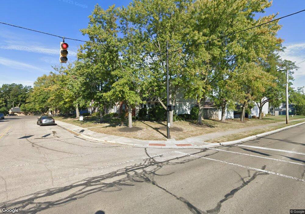
291 Progress Rd Dayton, OH 45449
Estimated Value: $154,000 - $213,000
3
Beds
3
Baths
1,560
Sq Ft
$112/Sq Ft
Est. Value
About This Home
This home is located at 291 Progress Rd, Dayton, OH 45449 and is currently estimated at $174,569, approximately $111 per square foot. 291 Progress Rd is a home located in Montgomery County with nearby schools including West Carrollton High School, Miami Valley Academies, and Bethel Baptist School.
Ownership History
Date
Name
Owned For
Owner Type
Purchase Details
Closed on
Feb 18, 2026
Sold by
Clinton Sparkman
Bought by
Sparkman Angela
Current Estimated Value
Home Financials for this Owner
Home Financials are based on the most recent Mortgage that was taken out on this home.
Original Mortgage
$114,000
Outstanding Balance
$114,000
Interest Rate
6.09%
Mortgage Type
New Conventional
Estimated Equity
$60,569
Purchase Details
Closed on
Jan 11, 2019
Sold by
M & E Enterprises And Investments Llc
Bought by
Sparkman Clinton and Sparkman Angela R
Home Financials for this Owner
Home Financials are based on the most recent Mortgage that was taken out on this home.
Original Mortgage
$99,750
Interest Rate
4.7%
Mortgage Type
New Conventional
Purchase Details
Closed on
Dec 23, 2008
Sold by
Lasalle Bank National Association
Bought by
Santillan Edgar
Purchase Details
Closed on
Nov 13, 2008
Sold by
Orr Curtis J
Bought by
Lasalle Bank National Association
Purchase Details
Closed on
May 29, 1996
Sold by
Khammari Deborah Warden
Bought by
Orr Curtis J and Orr Peggy M
Create a Home Valuation Report for This Property
The Home Valuation Report is an in-depth analysis detailing your home's value as well as a comparison with similar homes in the area
Home Values in the Area
Average Home Value in this Area
Purchase History
| Date | Buyer | Sale Price | Title Company |
|---|---|---|---|
| Sparkman Angela | -- | Landmark Title Agency South | |
| Sparkman Clinton | $105,000 | Sterling Land Title Agency I | |
| Santillan Edgar | $45,000 | Accutitle Agency Inc | |
| Lasalle Bank National Association | $89,250 | None Available | |
| Orr Curtis J | $83,900 | -- |
Source: Public Records
Mortgage History
| Date | Status | Borrower | Loan Amount |
|---|---|---|---|
| Open | Sparkman Angela | $114,000 | |
| Previous Owner | Sparkman Clinton | $99,750 |
Source: Public Records
Tax History
| Year | Tax Paid | Tax Assessment Tax Assessment Total Assessment is a certain percentage of the fair market value that is determined by local assessors to be the total taxable value of land and additions on the property. | Land | Improvement |
|---|---|---|---|---|
| 2025 | $2,547 | $40,240 | $6,230 | $34,010 |
| 2024 | $2,495 | $40,240 | $6,230 | $34,010 |
| 2023 | $2,495 | $40,240 | $6,230 | $34,010 |
| 2022 | $2,454 | $31,100 | $4,830 | $26,270 |
| 2021 | $2,458 | $31,100 | $4,830 | $26,270 |
| 2020 | $2,458 | $31,100 | $4,830 | $26,270 |
| 2019 | $2,169 | $25,280 | $4,200 | $21,080 |
| 2018 | $2,034 | $25,280 | $4,200 | $21,080 |
| 2017 | $2,021 | $25,280 | $4,200 | $21,080 |
| 2016 | $2,146 | $26,230 | $4,200 | $22,030 |
| 2015 | $1,921 | $26,230 | $4,200 | $22,030 |
| 2014 | $1,921 | $26,230 | $4,200 | $22,030 |
| 2012 | -- | $30,750 | $7,000 | $23,750 |
Source: Public Records
Map
Nearby Homes
- 1330 Black Forest Dr Unit B
- 1153 King Richard Pkwy
- 319 Hillhaven Dr
- 1100 S Elm St
- 1100 Eagle Nest Ct Unit 1
- 1450 Minstrel Dr Unit A-D
- 1104 Arrowhead Crossing Unit A
- 1008 Lookout Trail Unit D
- 1008 Lookout Trail Unit C
- 1010 Lookout Trail Unit E
- 1124 Eagle Feather Cir Unit 161
- 1118 Eagle Feather Cir Unit D
- 536 Queen Eleanor Ct
- 1792 Cherokee Dr Unit F
- 1033 Burchcliff Cir
- 2110 Sir Lockesley Dr
- 232 Tulip Dr
- 402 Wilson Park Dr
- 1000 Skyview Dr
- 6484 Quintessa Ct Unit 29
- 293 Progress Rd
- 295 Progress Rd
- 297 Progress Rd
- 299 Progress Rd
- 289 Progress Rd
- 296 Silver Bugle Ln
- 294 Silver Bugle Ln
- 292 Silver Bugle Ln
- 290 Silver Bugle Ln
- 288 Silver Bugle Ln
- 298 Silver Bugle Ln
- 1638 Longbow Ln
- 1644 Longbow Ln
- 1646 Longbow Ln
- 1648 Longbow Ln
- 1630 Longbow Ln
- 1632 Longbow Ln
- 1634 Longbow Ln
- 1636 Longbow Ln
- 286 Progress Rd
Your Personal Tour Guide
Ask me questions while you tour the home.