291 Robbie Ln Valparaiso, IN 46385
Estimated Value: $440,000 - $484,000
4
Beds
3
Baths
3,345
Sq Ft
$137/Sq Ft
Est. Value
About This Home
This home is located at 291 Robbie Ln, Valparaiso, IN 46385 and is currently estimated at $458,448, approximately $137 per square foot. 291 Robbie Ln is a home located in Porter County with nearby schools including Memorial Elementary School, Ben Franklin Middle School, and Valparaiso High School.
Ownership History
Date
Name
Owned For
Owner Type
Purchase Details
Closed on
Mar 9, 2022
Sold by
Keaton Paul E and Weis Wendy
Bought by
Keaton Paul E and Smith Wendy Weis
Current Estimated Value
Purchase Details
Closed on
Sep 23, 2020
Sold by
Keaton Paul E and Keaton Margaret W
Bought by
Keaton Paul E and Keaton Wendy Weis
Home Financials for this Owner
Home Financials are based on the most recent Mortgage that was taken out on this home.
Original Mortgage
$148,600
Interest Rate
2.6%
Mortgage Type
New Conventional
Purchase Details
Closed on
Mar 29, 2007
Sold by
Cannon Danny W and Cannon Lisa J
Bought by
Keaton Paul E and Keaton Margaret W
Home Financials for this Owner
Home Financials are based on the most recent Mortgage that was taken out on this home.
Original Mortgage
$200,000
Interest Rate
6.18%
Mortgage Type
Purchase Money Mortgage
Create a Home Valuation Report for This Property
The Home Valuation Report is an in-depth analysis detailing your home's value as well as a comparison with similar homes in the area
Home Values in the Area
Average Home Value in this Area
Purchase History
| Date | Buyer | Sale Price | Title Company |
|---|---|---|---|
| Keaton Paul E | -- | None Listed On Document | |
| Keaton Paul E | -- | None Listed On Document | |
| Keaton Paul E | -- | Ticor Title Insurance |
Source: Public Records
Mortgage History
| Date | Status | Borrower | Loan Amount |
|---|---|---|---|
| Previous Owner | Keaton Paul E | $148,600 | |
| Previous Owner | Keaton Paul E | $200,000 |
Source: Public Records
Tax History Compared to Growth
Tax History
| Year | Tax Paid | Tax Assessment Tax Assessment Total Assessment is a certain percentage of the fair market value that is determined by local assessors to be the total taxable value of land and additions on the property. | Land | Improvement |
|---|---|---|---|---|
| 2024 | $2,859 | $383,000 | $59,600 | $323,400 |
| 2023 | $2,938 | $390,200 | $55,700 | $334,500 |
| 2022 | $2,991 | $353,100 | $55,700 | $297,400 |
| 2021 | $2,841 | $312,100 | $55,700 | $256,400 |
| 2020 | $2,745 | $297,200 | $50,800 | $246,400 |
| 2019 | $2,452 | $267,800 | $50,800 | $217,000 |
| 2018 | $2,558 | $273,800 | $50,800 | $223,000 |
| 2017 | $2,457 | $269,800 | $50,800 | $219,000 |
| 2016 | $2,140 | $253,100 | $46,200 | $206,900 |
| 2014 | $1,655 | $256,800 | $43,900 | $212,900 |
| 2013 | -- | $244,000 | $43,800 | $200,200 |
Source: Public Records
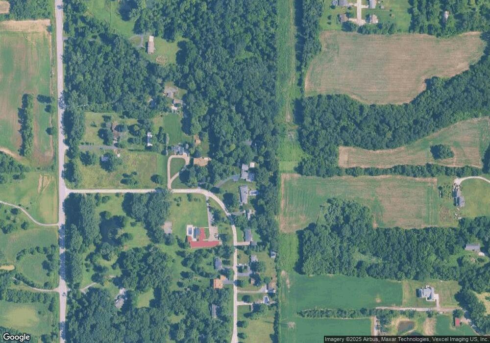
Map
Nearby Homes
- 279 Robbie Ln
- 503 N State Road 149
- 4352 Reflection Place
- 493 N 325 W
- 4063 Reflection Place
- 427 N State Road 149
- 4256 W Haven St
- 4254 W Haven St
- 3103 Hilltop Rd
- 3828 Brander Dr
- 3830 Brander Dr
- 3920 Brander Dr
- 3922 Brander Dr
- 3924 Brander Dr
- 231 W 500 N
- 3901 Iron Gate Dr
- 4001 Iron Gate Dr
- 3106 Viridian Way
- 3854 Fender St
- 3852 Fender St
- 289 Robbie Ln
- 293 Robbie Ln
- 287 Robbie Ln
- 295 Robbie Ln
- 285 Robbie Ln
- 297 Robbie Ln
- 284 Robbie Ln
- 283 Robbie Ln
- 282 Robbie Ln
- 281 Robbie Ln
- 483 N State Road 149
- 280 Robbie Ln
- 278 Robbie Ln
- 479 N State Road 149
- 477 N State Road 149
- 491 N State Road 149
- 277 Robbie Ln
- 274 Robbie Ln
- 274 Robbie Ln
- 493 N 266 W