291 SE Home Port Ln Shelton, WA 98584
Estimated Value: $653,000 - $770,000
4
Beds
3
Baths
2,675
Sq Ft
$265/Sq Ft
Est. Value
About This Home
This home is located at 291 SE Home Port Ln, Shelton, WA 98584 and is currently estimated at $708,935, approximately $265 per square foot. 291 SE Home Port Ln is a home located in Mason County with nearby schools including Bordeaux Elementary School, Olympic Middle School, and Oakland Bay Junior High School.
Ownership History
Date
Name
Owned For
Owner Type
Purchase Details
Closed on
Apr 14, 2020
Sold by
Trask Louivy M
Bought by
Trask Sharon Kay and Trask Theodore Clayton
Current Estimated Value
Home Financials for this Owner
Home Financials are based on the most recent Mortgage that was taken out on this home.
Original Mortgage
$210,000
Outstanding Balance
$185,324
Interest Rate
3.2%
Mortgage Type
New Conventional
Estimated Equity
$523,611
Purchase Details
Closed on
May 20, 2005
Sold by
Trask Louivy M
Bought by
Trask Louivy M
Create a Home Valuation Report for This Property
The Home Valuation Report is an in-depth analysis detailing your home's value as well as a comparison with similar homes in the area
Home Values in the Area
Average Home Value in this Area
Purchase History
| Date | Buyer | Sale Price | Title Company |
|---|---|---|---|
| Trask Sharon Kay | $350,000 | Mason County Title Co | |
| Trask Louivy M | -- | None Available |
Source: Public Records
Mortgage History
| Date | Status | Borrower | Loan Amount |
|---|---|---|---|
| Open | Trask Sharon Kay | $210,000 |
Source: Public Records
Tax History Compared to Growth
Tax History
| Year | Tax Paid | Tax Assessment Tax Assessment Total Assessment is a certain percentage of the fair market value that is determined by local assessors to be the total taxable value of land and additions on the property. | Land | Improvement |
|---|---|---|---|---|
| 2025 | $7,102 | $683,450 | $81,545 | $601,905 |
| 2023 | $7,102 | $678,955 | $73,990 | $604,965 |
| 2022 | $6,326 | $561,650 | $63,240 | $498,410 |
| 2021 | $6,182 | $561,650 | $63,240 | $498,410 |
| 2020 | $6,202 | $498,965 | $55,965 | $443,000 |
| 2018 | $4,687 | $303,130 | $42,840 | $260,290 |
| 2017 | $4,013 | $303,130 | $42,840 | $260,290 |
| 2016 | $3,747 | $287,185 | $40,740 | $246,445 |
| 2015 | $3,626 | $270,465 | $37,800 | $232,665 |
| 2014 | -- | $265,725 | $37,800 | $227,925 |
| 2013 | -- | $241,865 | $37,800 | $204,065 |
Source: Public Records
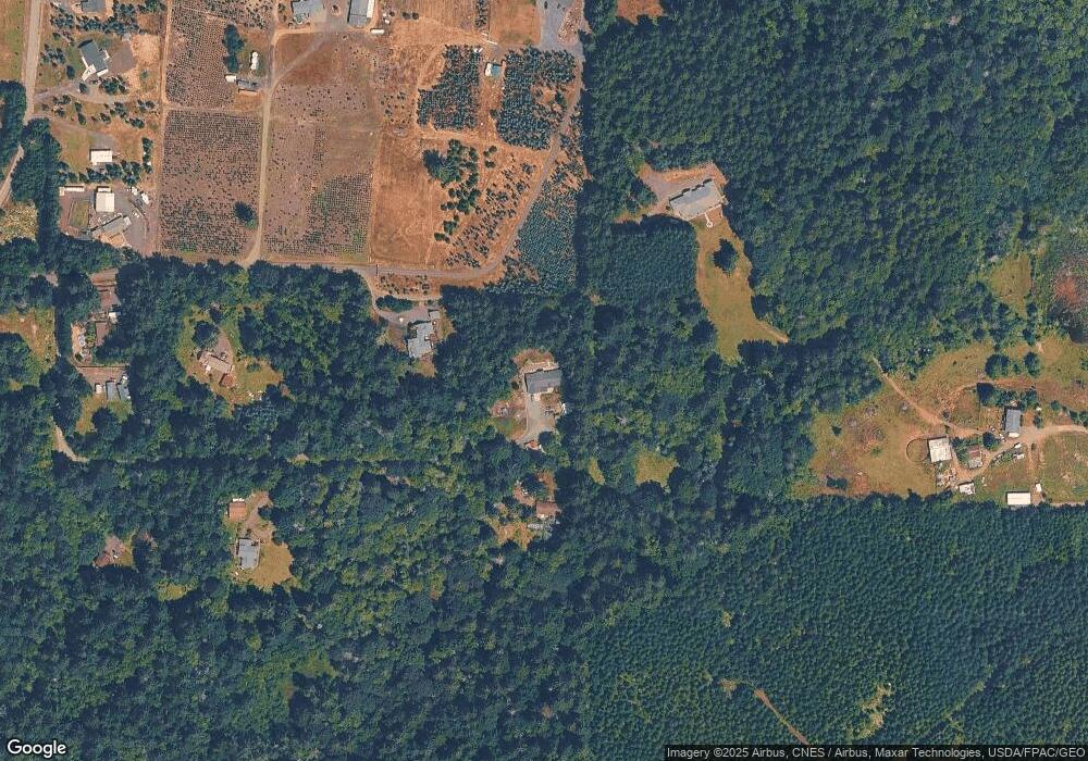
Map
Nearby Homes
- 0 E Lynch Rd Unit NWM2421493
- 310 SE Sells Dr
- 222 SE Sells Dr
- 0 SE Paulcyn Ln
- 407 SE Allen Rd
- 691 SE Picadilly Dr
- 3211 SE Kamilche Point Rd
- 361 SE Totten Shores Dr
- 0 SE Somers Dr
- 7707 78th Loop NW
- 461 SE Kamilche Shores Rd
- 551 SE Kamilche Shores Rd
- 730 SE Nelson Rd
- 7626 78th Loop NW
- 80 SE Channel Point Rd
- 64 SE Gosnell Ln
- 898 SE Dahman Rd
- 1053 SE Binns Swiger Loop Rd
- 101 SE Channel Point Rd
- 1 xxx SE Morgan Rd
- 300 SE Home Port Ln
- 150 SE Dusty Ln
- 90 SE Dusty Ln
- 140 SE Home Port Ln
- 103 SE Dusty Ln
- 103 SE Dusty Ln
- 60 SE Home Port Ln
- 990 SE Phillips Rd
- 950 SE Phillips Rd
- 0 SE Ashley Rd
- 0 SE Ashley Rd Unit NWM2031935
- 0 SE Ashley Rd Unit NWM1894294
- 0 SE Ashley Rd Unit NWM1894295
- 1000 SE Phillips Rd
- 1004 SE Phillips Rd
- 981 SE Phillips Rd
- 930 SE Phillips Rd
- 20 SE Ashley Rd
- 1010 SE Phillips Rd
- 22 SE Ashley Rd