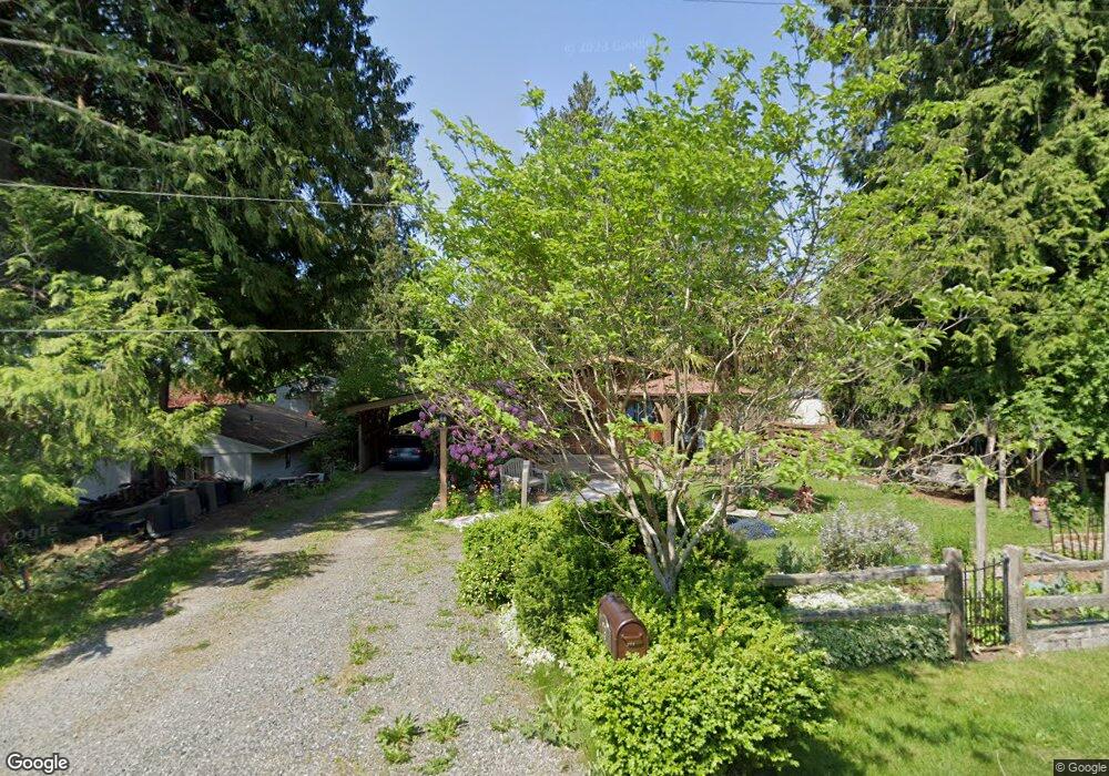
291 Shady Glen Ave Point Roberts, WA 98281
Estimated Value: $394,000 - $481,000
2
Beds
2
Baths
1,100
Sq Ft
$401/Sq Ft
Est. Value
About This Home
This home is located at 291 Shady Glen Ave, Point Roberts, WA 98281 and is currently estimated at $441,045, approximately $400 per square foot. 291 Shady Glen Ave is a home located in Whatcom County with nearby schools including Point Roberts Primary School, Blaine Middle School, and Blaine High School.
Ownership History
Date
Name
Owned For
Owner Type
Purchase Details
Closed on
Sep 14, 2001
Sold by
Skibsrud Jacob A and Skibsrud Maria D
Bought by
Cannon Charles W and Cannon Shirley H
Current Estimated Value
Home Financials for this Owner
Home Financials are based on the most recent Mortgage that was taken out on this home.
Original Mortgage
$65,000
Outstanding Balance
$25,346
Interest Rate
6.99%
Estimated Equity
$415,699
Create a Home Valuation Report for This Property
The Home Valuation Report is an in-depth analysis detailing your home's value as well as a comparison with similar homes in the area
Home Values in the Area
Average Home Value in this Area
Purchase History
| Date | Buyer | Sale Price | Title Company |
|---|---|---|---|
| Cannon Charles W | -- | First American Title Insuran |
Source: Public Records
Mortgage History
| Date | Status | Borrower | Loan Amount |
|---|---|---|---|
| Open | Cannon Charles W | $65,000 |
Source: Public Records
Tax History Compared to Growth
Tax History
| Year | Tax Paid | Tax Assessment Tax Assessment Total Assessment is a certain percentage of the fair market value that is determined by local assessors to be the total taxable value of land and additions on the property. | Land | Improvement |
|---|---|---|---|---|
| 2024 | $3,007 | $373,903 | $132,495 | $241,408 |
| 2023 | $3,007 | $361,858 | $120,450 | $241,408 |
| 2022 | $2,312 | $330,464 | $110,000 | $220,464 |
| 2021 | $2,303 | $227,927 | $65,542 | $162,385 |
| 2020 | $2,294 | $211,041 | $60,687 | $150,354 |
| 2019 | $2,129 | $202,435 | $58,212 | $144,223 |
| 2018 | $2,005 | $181,987 | $52,332 | $129,655 |
| 2017 | $1,739 | $173,808 | $49,980 | $123,828 |
| 2016 | $1,755 | $170,400 | $49,000 | $121,400 |
| 2015 | $1,867 | $167,240 | $48,305 | $118,935 |
| 2014 | -- | $174,837 | $50,500 | $124,337 |
| 2013 | -- | $167,151 | $48,500 | $118,651 |
Source: Public Records
Map
Nearby Homes
- 245 Shady Glen Ave
- 1 Mill Rd
- 2 Mill Rd
- 8 Heather Way
- 168 Tyee Dr
- 158 Tyee Dr
- 1871 Johnson Rd
- 2 Benson Rd
- 125 Park Dr
- 0 6 39 Acres South Beach Rd
- 1931 Sanders Ct Unit 11
- 1542 Columbia Vista Dr
- lot 14 Cedar Park Dr Unit 14
- 25 Roosevelt Way
- 17 Lot Massey Way
- Lot 2 Greenwood Dr
- 1976 Cedar Park Dr
- 230 Iris Blvd
- 1521 Roosevelt Way
- 1518 #10 Churchill Dr
- 295 Shady Glen Ave
- 281 Shady Glen Ave
- 1730 Austin Rd
- 286 James Rd
- 280 James Rd
- 277 Shady Glen Ave
- 290 Shady Glen Ave
- 305 Evergreen Way
- 276 Shady Glen Ave
- 291 Windsor Dr
- 285 Windsor Dr
- 295 Windsor Dr
- 273 Windsor Dr
- 262 Shady Glen Ave
- 267 James Rd
- 257 Shady Glen Ave
- 1841 Austin Rd
- 1741 Austin Rd
- 258 James Rd