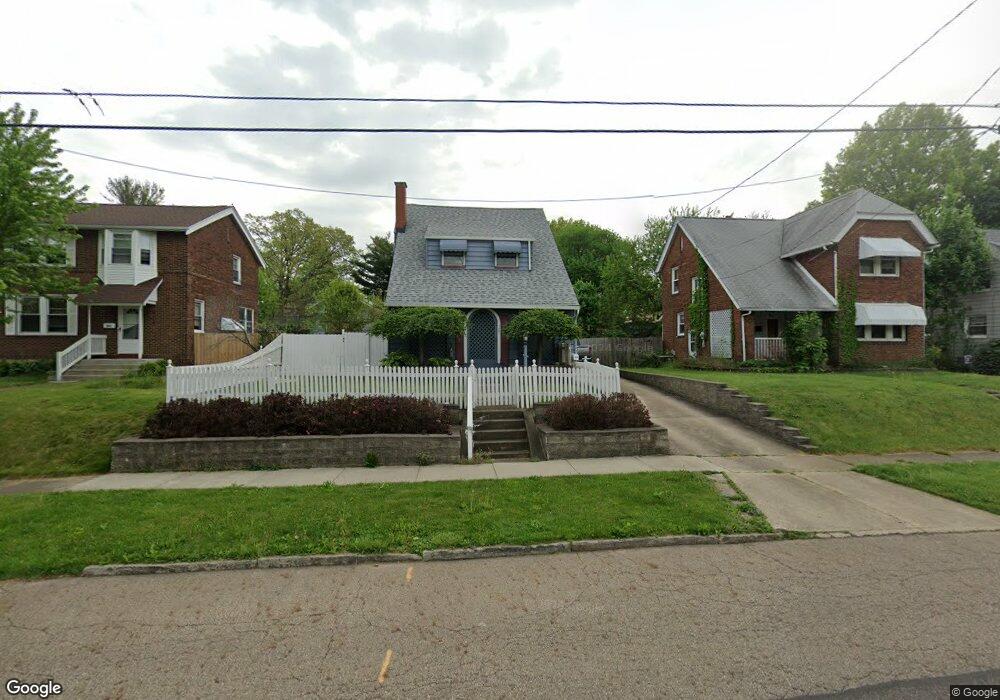
291 Sumatra Ave Akron, OH 44305
Goodyear Heights NeighborhoodEstimated Value: $138,000 - $172,192
3
Beds
2
Baths
1,512
Sq Ft
$100/Sq Ft
Est. Value
About This Home
This home is located at 291 Sumatra Ave, Akron, OH 44305 and is currently estimated at $151,798, approximately $100 per square foot. 291 Sumatra Ave is a home located in Summit County with nearby schools including Seiberling Community Learning Center, Middlebury Academy, and Akron Preparatory school.
Ownership History
Date
Name
Owned For
Owner Type
Purchase Details
Closed on
Nov 16, 2023
Sold by
Gaines Jennifer
Bought by
Post Joseph Michael and Post Ann Elizabeth
Current Estimated Value
Home Financials for this Owner
Home Financials are based on the most recent Mortgage that was taken out on this home.
Original Mortgage
$116,000
Outstanding Balance
$113,973
Interest Rate
7.49%
Mortgage Type
New Conventional
Estimated Equity
$37,825
Create a Home Valuation Report for This Property
The Home Valuation Report is an in-depth analysis detailing your home's value as well as a comparison with similar homes in the area
Home Values in the Area
Average Home Value in this Area
Purchase History
| Date | Buyer | Sale Price | Title Company |
|---|---|---|---|
| Post Joseph Michael | $145,000 | Kingdom Title |
Source: Public Records
Mortgage History
| Date | Status | Borrower | Loan Amount |
|---|---|---|---|
| Open | Post Joseph Michael | $116,000 |
Source: Public Records
Tax History
| Year | Tax Paid | Tax Assessment Tax Assessment Total Assessment is a certain percentage of the fair market value that is determined by local assessors to be the total taxable value of land and additions on the property. | Land | Improvement |
|---|---|---|---|---|
| 2025 | $2,090 | $35,274 | $7,298 | $27,976 |
| 2024 | $1,431 | $35,274 | $7,298 | $27,976 |
| 2023 | $2,090 | $35,274 | $7,298 | $27,976 |
| 2022 | $1,199 | $25,715 | $5,177 | $20,538 |
| 2021 | $1,200 | $25,715 | $5,177 | $20,538 |
| 2020 | $1,183 | $25,720 | $5,180 | $20,540 |
| 2019 | $1,039 | $22,130 | $5,500 | $16,630 |
| 2018 | $1,026 | $22,130 | $5,500 | $16,630 |
| 2017 | $1,041 | $22,130 | $5,500 | $16,630 |
| 2016 | $1,042 | $22,130 | $5,500 | $16,630 |
| 2015 | $1,041 | $22,130 | $5,500 | $16,630 |
| 2014 | $1,033 | $22,130 | $5,500 | $16,630 |
| 2013 | $1,192 | $24,730 | $5,500 | $19,230 |
Source: Public Records
Map
Nearby Homes
- 248 Malacca St
- 295 Goodview Ave
- 1837 Marks Ave
- 1874 Adelaide Blvd
- 1991-1993 Congo St
- 465 Saint Leger Ave
- 1604 Hampton Rd
- 1581 Hillside Terrace
- 1578 Pilgrim St
- 1726 Shaw Ave
- 1551 Preston Ave
- 439 Larkin Ave
- 404 Newell Ave
- 1826 Hillside Terrace
- 20 Verdun Dr
- 1442 Hillside Terrace
- 561 Melrose St
- 153 Cutler Pkwy
- 232 Pioneer St
- 1438 Newton St
- 295 Sumatra Ave
- 285 Sumatra Ave
- 301 Sumatra Ave
- 281 Sumatra Ave
- 1962 Tonawanda Ave
- 1958 Tonawanda Ave
- 1968 Tonawanda Ave
- 275 Sumatra Ave
- 307 Sumatra Ave
- 1954 Tonawanda Ave
- 1972 Tonawanda Ave
- 292 Sumatra Ave
- 296 Sumatra Ave
- 286 Sumatra Ave
- 1978 Tonawanda Ave
- 1948 Tonawanda Ave
- 302 Sumatra Ave
- 282 Sumatra Ave
- 269 Sumatra Ave
- 313 Sumatra Ave