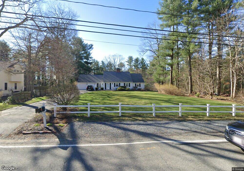
291 Union St Hanover, MA 02339
Estimated Value: $746,378 - $820,000
3
Beds
2
Baths
1,652
Sq Ft
$469/Sq Ft
Est. Value
About This Home
This home is located at 291 Union St, Hanover, MA 02339 and is currently estimated at $775,095, approximately $469 per square foot. 291 Union St is a home located in Plymouth County with nearby schools including Hanover High School, Cadence Academy Preschool - Hanover, and The Master's Academy.
Ownership History
Date
Name
Owned For
Owner Type
Purchase Details
Closed on
Aug 11, 2003
Sold by
Red Dog Rt and Riordan
Bought by
Desilva Peter R and Harris Tracey
Current Estimated Value
Home Financials for this Owner
Home Financials are based on the most recent Mortgage that was taken out on this home.
Original Mortgage
$407,550
Outstanding Balance
$175,019
Interest Rate
5.28%
Mortgage Type
Purchase Money Mortgage
Estimated Equity
$600,076
Purchase Details
Closed on
May 3, 2001
Sold by
Red Dog Rt and Riordan
Bought by
Riordan Mark V and Riordan Ann J
Create a Home Valuation Report for This Property
The Home Valuation Report is an in-depth analysis detailing your home's value as well as a comparison with similar homes in the area
Home Values in the Area
Average Home Value in this Area
Purchase History
| Date | Buyer | Sale Price | Title Company |
|---|---|---|---|
| Desilva Peter R | $429,000 | -- | |
| Desilva Peter R | $429,000 | -- | |
| Riordan Mark V | $130,000 | -- | |
| Red Dog Rt | $400,000 | -- | |
| Riordan Mark V | $130,000 | -- |
Source: Public Records
Mortgage History
| Date | Status | Borrower | Loan Amount |
|---|---|---|---|
| Open | Riordan Mark V | $407,550 | |
| Closed | Riordan Mark V | $407,550 |
Source: Public Records
Tax History Compared to Growth
Tax History
| Year | Tax Paid | Tax Assessment Tax Assessment Total Assessment is a certain percentage of the fair market value that is determined by local assessors to be the total taxable value of land and additions on the property. | Land | Improvement |
|---|---|---|---|---|
| 2025 | $7,923 | $641,500 | $269,400 | $372,100 |
| 2024 | $7,708 | $600,300 | $269,400 | $330,900 |
| 2023 | $7,446 | $552,000 | $244,900 | $307,100 |
| 2022 | $8,076 | $529,600 | $244,900 | $284,700 |
| 2021 | $8,127 | $497,700 | $222,600 | $275,100 |
| 2020 | $8,039 | $492,900 | $222,600 | $270,300 |
| 2019 | $7,498 | $456,900 | $222,600 | $234,300 |
| 2018 | $7,813 | $452,100 | $222,600 | $229,500 |
| 2017 | $6,651 | $402,600 | $209,500 | $193,100 |
| 2016 | $6,545 | $388,200 | $190,500 | $197,700 |
| 2015 | $6,121 | $379,000 | $190,500 | $188,500 |
Source: Public Records
Map
Nearby Homes
- 62 Larchmont Ln
- 265 Silver St
- 53 Chestnut St
- 14 Longwood Ln Unit 14
- 276 Woodland Dr
- 116 Spring Meadow Ln
- 8 Old Farm Rd
- 70 Dillingham Way
- 118 Bates Way
- 250 Center St
- 51 Cervelli Farm Dr
- 37 Dr
- 23 Cervelli Farm Dr
- 38 Cervelli Farm Dr
- 9 Cervelli Farm Dr
- 375 Webster St
- 114 Main St
- 107 Wildcat Ln
- 1239 Main St
- 7 Assinippi Ave Unit 216
- 301 Union St
- 275 Union St
- 290 Union St
- Lot 9 Broadway-Left of 1395
- Lot 7 Broadway-Right of 1395
- lot 1 Trailside Ln
- Lot 69 Center Street - Right of 720
- lot six Elijahs Path
- lot one Elijahs Path
- lot five Elijahs Path
- lot three Elijahs Path
- Lot 1 Bard Rock Ln
- Lot 2 Bard Rock Ln
- 263 Union St
- 268 Union St
- 315 Union St
- 32 Constitution Way
- 304 Union St
- 312 Union St
- 23 Deborah Rd