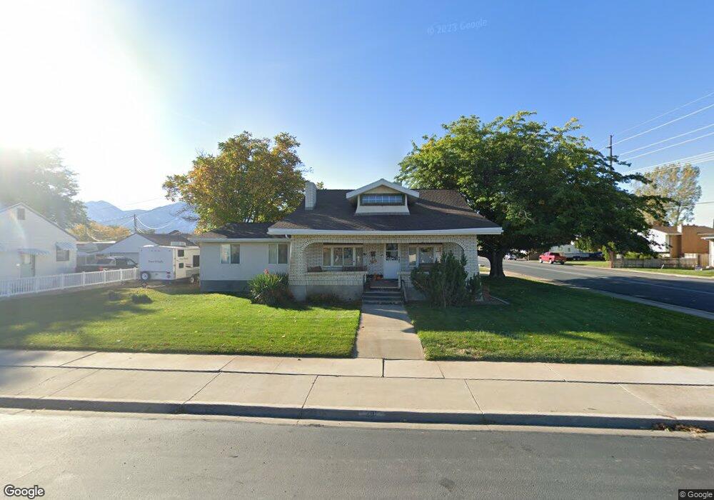
291 W 700 N Spanish Fork, UT 84660
Estimated Value: $467,000 - $557,000
5
Beds
2
Baths
2,210
Sq Ft
$228/Sq Ft
Est. Value
About This Home
This home is located at 291 W 700 N, Spanish Fork, UT 84660 and is currently estimated at $503,279, approximately $227 per square foot. 291 W 700 N is a home located in Utah County with nearby schools including Brockbank Elementary School, Spanish Fork Jr High School, and Spanish Fork High School.
Ownership History
Date
Name
Owned For
Owner Type
Purchase Details
Closed on
Aug 21, 2020
Sold by
Davis Cory N and Davis Heidi J
Bought by
Davis Cory N and Davis Heidi J
Current Estimated Value
Home Financials for this Owner
Home Financials are based on the most recent Mortgage that was taken out on this home.
Original Mortgage
$89,100
Interest Rate
3.1%
Mortgage Type
New Conventional
Purchase Details
Closed on
Jul 13, 2020
Sold by
Davis Daniel C and Davis Haley Youd
Bought by
Davis Daniel C and Davis Haley Youd
Home Financials for this Owner
Home Financials are based on the most recent Mortgage that was taken out on this home.
Original Mortgage
$89,100
Interest Rate
3.1%
Mortgage Type
New Conventional
Create a Home Valuation Report for This Property
The Home Valuation Report is an in-depth analysis detailing your home's value as well as a comparison with similar homes in the area
Home Values in the Area
Average Home Value in this Area
Purchase History
| Date | Buyer | Sale Price | Title Company |
|---|---|---|---|
| Davis Cory N | -- | None Available | |
| Davis Daniel C | -- | None Available |
Source: Public Records
Mortgage History
| Date | Status | Borrower | Loan Amount |
|---|---|---|---|
| Previous Owner | Davis Daniel C | $89,100 |
Source: Public Records
Tax History Compared to Growth
Tax History
| Year | Tax Paid | Tax Assessment Tax Assessment Total Assessment is a certain percentage of the fair market value that is determined by local assessors to be the total taxable value of land and additions on the property. | Land | Improvement |
|---|---|---|---|---|
| 2025 | $2,141 | $225,280 | $163,200 | $246,400 |
| 2024 | $2,141 | $220,715 | $0 | $0 |
| 2023 | $2,231 | $230,175 | $0 | $0 |
| 2022 | $2,151 | $217,690 | $0 | $0 |
| 2021 | $1,855 | $300,300 | $94,700 | $205,600 |
| 2020 | $1,678 | $264,100 | $78,900 | $185,200 |
| 2019 | $1,482 | $245,400 | $78,900 | $166,500 |
| 2018 | $1,397 | $223,700 | $78,900 | $144,800 |
| 2017 | $1,241 | $106,810 | $0 | $0 |
| 2016 | $1,130 | $95,920 | $0 | $0 |
| 2015 | $1,078 | $90,475 | $0 | $0 |
| 2014 | $988 | $83,160 | $0 | $0 |
Source: Public Records
Map
Nearby Homes
- 393 N 400 W
- 433 N 100 W
- 559 N Mitchell Dr
- 40 W 400 N Unit 1-6
- 55 E 700 N
- 555 N 100 E
- 294 W 200 N
- 136 E 900 N
- 134 N 300 W
- 1841 N 630 St W Unit 71
- 440 N 200 E
- 1788 N 630 St W Unit 47
- 1826 N 630 St W Unit 101
- 288 E 800 N Unit 144
- 235 E 900 N
- 143 E 200 N
- 385 E 700 N
- 334 E 1000 N
- 833 W 250 N
- 226 N 860 W Unit 156