291 Wild Turkey Trail Unit PHASE 1 Dahlonega, GA 30533
Estimated Value: $570,000 - $676,000
4
Beds
3
Baths
2,821
Sq Ft
$215/Sq Ft
Est. Value
About This Home
This home is located at 291 Wild Turkey Trail Unit PHASE 1, Dahlonega, GA 30533 and is currently estimated at $606,194, approximately $214 per square foot. 291 Wild Turkey Trail Unit PHASE 1 is a home located in Lumpkin County with nearby schools including Lumpkin County High School.
Ownership History
Date
Name
Owned For
Owner Type
Purchase Details
Closed on
Jan 8, 2016
Sold by
White Carl
Bought by
Boulware Timothy M and Boulware Suzanne L
Current Estimated Value
Home Financials for this Owner
Home Financials are based on the most recent Mortgage that was taken out on this home.
Original Mortgage
$269,037
Outstanding Balance
$212,488
Interest Rate
3.75%
Mortgage Type
FHA
Estimated Equity
$393,706
Purchase Details
Closed on
Jan 30, 2006
Sold by
Not Provided
Bought by
White Carl and White Joy
Home Financials for this Owner
Home Financials are based on the most recent Mortgage that was taken out on this home.
Original Mortgage
$75,000
Interest Rate
6.14%
Mortgage Type
New Conventional
Purchase Details
Closed on
May 12, 2005
Sold by
Mdr Development Llc
Bought by
Crooked Creek Builders Llc
Purchase Details
Closed on
May 28, 2003
Sold by
1058 Partners Inc
Bought by
Mdr Development Llc
Create a Home Valuation Report for This Property
The Home Valuation Report is an in-depth analysis detailing your home's value as well as a comparison with similar homes in the area
Home Values in the Area
Average Home Value in this Area
Purchase History
| Date | Buyer | Sale Price | Title Company |
|---|---|---|---|
| Boulware Timothy M | $274,000 | -- | |
| White Carl | $271,000 | -- | |
| Crooked Creek Builders Llc | $300,000 | -- | |
| Mdr Development Llc | $1,383,000 | -- |
Source: Public Records
Mortgage History
| Date | Status | Borrower | Loan Amount |
|---|---|---|---|
| Open | Boulware Timothy M | $269,037 | |
| Previous Owner | White Carl | $75,000 |
Source: Public Records
Tax History Compared to Growth
Tax History
| Year | Tax Paid | Tax Assessment Tax Assessment Total Assessment is a certain percentage of the fair market value that is determined by local assessors to be the total taxable value of land and additions on the property. | Land | Improvement |
|---|---|---|---|---|
| 2024 | $4,392 | $192,498 | $16,000 | $176,498 |
| 2023 | $3,654 | $174,889 | $16,000 | $158,889 |
| 2022 | $3,954 | $159,694 | $16,000 | $143,694 |
| 2021 | $3,223 | $125,903 | $10,000 | $115,903 |
| 2020 | $3,117 | $118,172 | $10,000 | $108,172 |
| 2019 | $3,146 | $118,172 | $10,000 | $108,172 |
| 2018 | $2,937 | $103,521 | $10,000 | $93,521 |
| 2017 | $2,852 | $98,596 | $10,000 | $88,596 |
| 2016 | $2,666 | $91,134 | $10,000 | $81,134 |
| 2015 | $2,373 | $91,134 | $10,000 | $81,134 |
| 2014 | $2,373 | $92,025 | $10,000 | $82,025 |
| 2013 | -- | $92,916 | $10,000 | $82,916 |
Source: Public Records
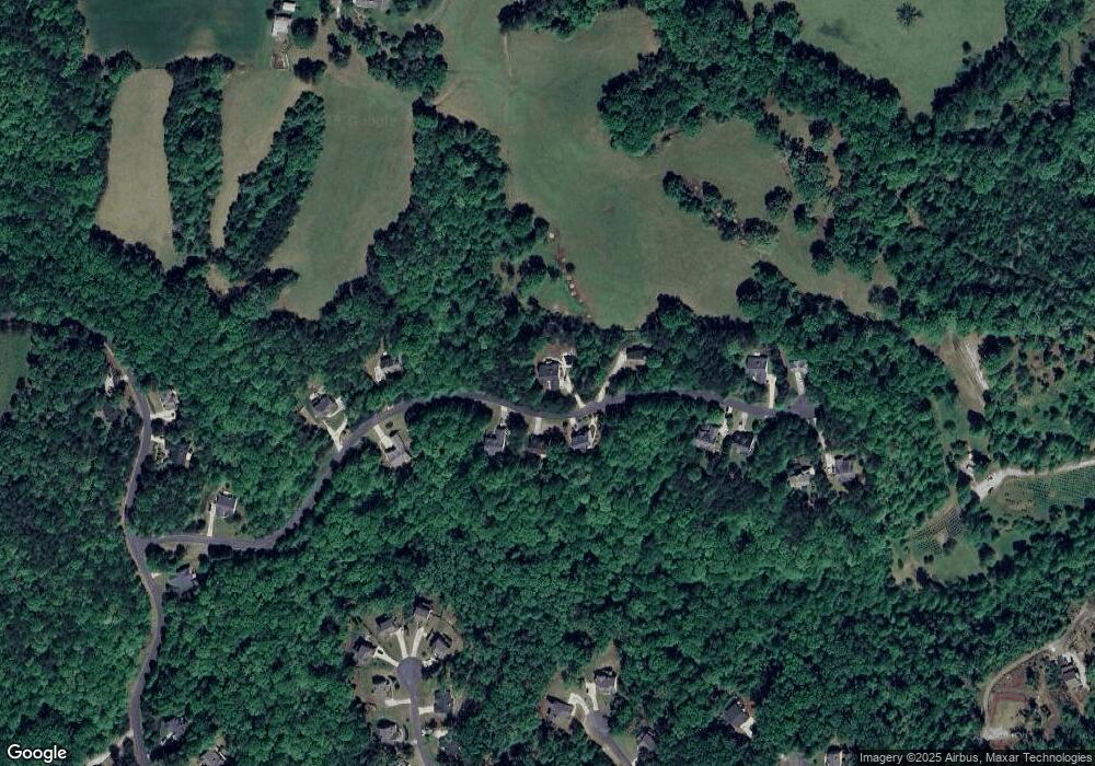
Map
Nearby Homes
- 775 Crooked Creek Dr
- 1047 Nugget Ct
- 114 Funaro Ln
- 50 Loyal Dr
- 190 Grand Oak Ln
- 0 Honey Tree Terrace Unit 10448792
- 0 Honey Tree Terrace Unit 7516071
- 191 Sleepy Hollow Rd
- 0 Dawsonville Hwy Unit 10631159
- 00 Dawsonville Hwy
- 251 Bearslide Hollow
- 486 Laurel Cir
- 33 Tj Mote Rd
- 33 T J Mote Rd
- 549 Ivy Terrace
- 221 Laurel Cir
- 121 Blair Ridge Rd
- 120 Blair Ridge Rd
- 253 Blair Ridge Rd
- 132 J Mountain Dr
- 291 Wild Turkey Trail
- 0 Wild Turkey Trail Unit 4 8359360
- Lot 4 Wild Turkey Trail
- 0 Lot 4 Wild Turkey Trail Unit 8359360
- 0 Wild Turkey Trail Unit 8774961
- 0 Wild Turkey Trail Unit 7087064
- 0 Wild Turkey Trail Unit 7304444
- 0 Wild Turkey Trail Unit 7485546
- 0 Wild Turkey Trail Unit 7515954
- 284 Wild Turkey Trail
- 297 Wild Turkey Trail
- 262 Wild Turkey Trail
- 244 Wild Turkey Trail
- 372 Wild Turkey Trail
- 166 Wild Turkey Trail
- 175 Wild Turkey Trail
- 362 Wild Turkey Trail
- 395 Wild Turkey Trail
- 122 Oak Springs Trail N
- 417 Wild Turkey Trail