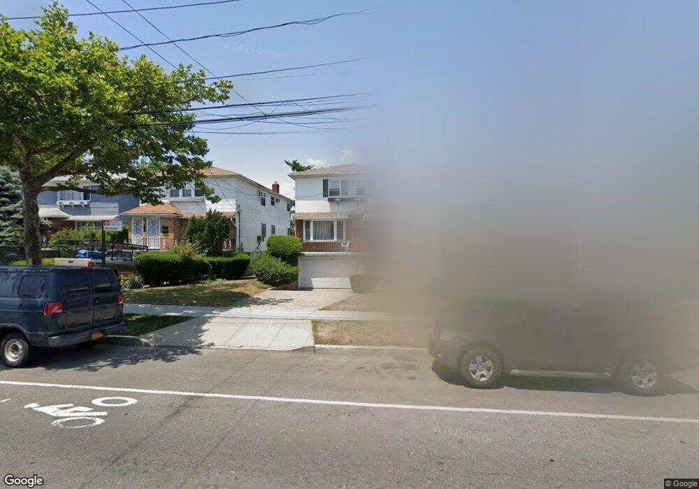
2910 Beach Channel Dr Far Rockaway, NY 11691
Far Rockaway NeighborhoodEstimated Value: $806,000 - $960,000
--
Bed
--
Bath
2,930
Sq Ft
$298/Sq Ft
Est. Value
About This Home
This home is located at 2910 Beach Channel Dr, Far Rockaway, NY 11691 and is currently estimated at $873,199, approximately $298 per square foot. 2910 Beach Channel Dr is a home located in Queens County with nearby schools including P.S. 43, Ms 53 Brian Piccolo, and Q319 Village Academy.
Ownership History
Date
Name
Owned For
Owner Type
Purchase Details
Closed on
Jul 17, 2003
Sold by
Harris Jane S
Bought by
Harris Hezekiah and Harris Jane S
Current Estimated Value
Home Financials for this Owner
Home Financials are based on the most recent Mortgage that was taken out on this home.
Original Mortgage
$185,000
Interest Rate
5.98%
Mortgage Type
Purchase Money Mortgage
Create a Home Valuation Report for This Property
The Home Valuation Report is an in-depth analysis detailing your home's value as well as a comparison with similar homes in the area
Home Values in the Area
Average Home Value in this Area
Purchase History
| Date | Buyer | Sale Price | Title Company |
|---|---|---|---|
| Harris Hezekiah | -- | -- | |
| Harris Hezekiah | -- | -- |
Source: Public Records
Mortgage History
| Date | Status | Borrower | Loan Amount |
|---|---|---|---|
| Closed | Harris Hezekiah | $185,000 |
Source: Public Records
Tax History Compared to Growth
Tax History
| Year | Tax Paid | Tax Assessment Tax Assessment Total Assessment is a certain percentage of the fair market value that is determined by local assessors to be the total taxable value of land and additions on the property. | Land | Improvement |
|---|---|---|---|---|
| 2025 | $6,758 | $33,904 | $5,754 | $28,150 |
| 2024 | $6,758 | $33,647 | $6,649 | $26,998 |
| 2023 | $6,375 | $31,742 | $5,964 | $25,778 |
| 2022 | $5,317 | $43,320 | $8,940 | $34,380 |
| 2021 | $5,287 | $46,320 | $8,940 | $37,380 |
| 2020 | $5,321 | $40,800 | $8,940 | $31,860 |
| 2019 | $5,206 | $37,020 | $8,940 | $28,080 |
| 2018 | $4,733 | $26,452 | $7,493 | $18,959 |
| 2017 | $4,441 | $24,956 | $7,945 | $17,011 |
| 2016 | $4,086 | $24,956 | $7,945 | $17,011 |
| 2015 | $2,401 | $23,544 | $6,333 | $17,211 |
| 2014 | $2,401 | $23,366 | $6,722 | $16,644 |
Source: Public Records
Map
Nearby Homes
- 2918 Beach Channel Dr
- 2810 Brookhaven Ave
- 622 Bay 32 St
- 2409 Brookhaven Ave
- 2407 Brookhaven Ave
- 514 Beach 32nd St
- 526 Grassmere Terrace
- 29-64 Falcon Ave
- 2711 Deerfield Rd
- 1011 Bay 24th St
- 2360 Beach Channel Dr
- 2412 Deerfield Rd
- 665 Nasby Place
- 1051 Bay 32nd St
- 407 Beach 35th St
- 638 Grassmere Terrace
- 3012 Seagirt Ave
- 1046 Dickens St
- 31-08 Seagirt Ave
- 1050 Dickens St
- 29-10 Beach Channel Dr Unit 2nd Fl
- 29-10 Beach Channel Dr
- 2914 Beach Channel Dr
- 2906 Beach Channel Dr
- 29-14 Beach Channel Dr
- 14 A Beach Channel Dr
- 2902 Beach Channel Dr
- 711 Hartman Ln
- 2920 Beach Channel Dr
- 29-05 Ocean Crest Blvd
- 2911 Oceancrest Blvd
- 2911 Oceancrest Blvd Unit 2
- 2909 Oceancrest Blvd
- 2924 Beach Channel Dr
- 2915 Oceancrest Blvd
- 2905 Oceancrest Blvd
- 29-11 Ocean Crest Blvd
- 29-19 Ocean Crest Blvd
- 2540 Oceancrest Blvd
- 2901 Oceancrest Blvd