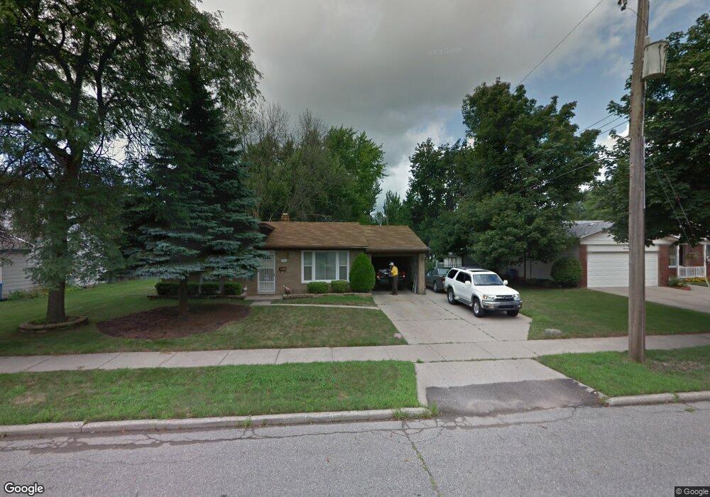
2910 Cumberland Rd Lansing, MI 48906
Northwestside NeighborhoodEstimated Value: $198,824 - $227,000
Studio
--
Bath
1,459
Sq Ft
$146/Sq Ft
Est. Value
About This Home
This home is located at 2910 Cumberland Rd, Lansing, MI 48906 and is currently estimated at $212,456, approximately $145 per square foot. 2910 Cumberland Rd is a home located in Ingham County with nearby schools including Cumberland Elementary School, Pattengill Academy, and J.W. Sexton High School.
Ownership History
Date
Name
Owned For
Owner Type
Purchase Details
Closed on
Mar 13, 2025
Sold by
Harris Freddie L
Bought by
Harris Ronald D
Current Estimated Value
Home Financials for this Owner
Home Financials are based on the most recent Mortgage that was taken out on this home.
Original Mortgage
$137,362
Outstanding Balance
$136,662
Interest Rate
6.89%
Mortgage Type
FHA
Estimated Equity
$75,794
Create a Home Valuation Report for This Property
The Home Valuation Report is an in-depth analysis detailing your home's value as well as a comparison with similar homes in the area
Home Values in the Area
Average Home Value in this Area
Purchase History
| Date | Buyer | Sale Price | Title Company |
|---|---|---|---|
| Harris Ronald D | $190,000 | Bell Title |
Source: Public Records
Mortgage History
| Date | Status | Borrower | Loan Amount |
|---|---|---|---|
| Open | Harris Ronald D | $137,362 |
Source: Public Records
Tax History
| Year | Tax Paid | Tax Assessment Tax Assessment Total Assessment is a certain percentage of the fair market value that is determined by local assessors to be the total taxable value of land and additions on the property. | Land | Improvement |
|---|---|---|---|---|
| 2025 | $3,486 | $74,900 | $12,200 | $62,700 |
| 2024 | $28 | $82,900 | $12,200 | $70,700 |
| 2023 | $3,268 | $73,100 | $12,200 | $60,900 |
| 2022 | $2,945 | $64,400 | $10,100 | $54,300 |
| 2021 | $2,884 | $61,600 | $10,300 | $51,300 |
| 2020 | $2,866 | $56,400 | $10,300 | $46,100 |
| 2019 | $2,748 | $53,800 | $10,300 | $43,500 |
| 2018 | $2,574 | $50,800 | $10,300 | $40,500 |
| 2017 | $2,465 | $50,800 | $10,300 | $40,500 |
| 2016 | $2,366 | $44,900 | $10,300 | $34,600 |
| 2015 | $2,366 | $42,700 | $20,604 | $22,096 |
| 2014 | $2,366 | $42,200 | $24,038 | $18,162 |
Source: Public Records
Map
Nearby Homes
- 2302 Northwest Ave
- 2800 Tecumseh River Rd
- 2111 Northwest Ave
- 2300 Byrnes Rd
- 2413 Beacon Hill Dr
- 3116 Colchester Rd
- 2206 Kuerbitz Dr
- 1920 Byrnes Rd
- 2601 Newport Dr
- 3500 Colchester Rd
- 4005 N Grand River Ave
- 4221 N Grand River Ave
- 1805 Boynton Dr
- 2111 Delta River Dr
- 3601 N Grand River Ave
- 2617 Edgebrook Dr
- 3733 Colchester Rd
- 2817 W Willow St
- 3230 Sheffer Ave
- 3304 Sheffer Ave
- 2918 Cumberland Rd
- 2900 Cumberland Rd
- 2316 Cogswell Dr
- 2313 Darby Dr
- 2324 Cogswell Dr
- 2901 Cumberland Rd
- 2911 Cumberland Rd
- 2330 Cogswell Dr
- 2919 Cumberland Rd
- 2301 Cogswell Dr
- 2313 Cogswell Dr
- 2325 Darby Dr
- 2319 Cogswell Dr
- 2302 Darby Dr
- 2404 Cogswell Dr
- 2211 Darby Dr
- 2325 Cogswell Dr
- 2312 Darby Dr
- 2208 Cogswell Dr
Your Personal Tour Guide
Ask me questions while you tour the home.