2910 Dugan Ave Brandon, IA 52210
Estimated Value: $240,000
2
Beds
1
Bath
924
Sq Ft
$260/Sq Ft
Est. Value
About This Home
This home is located at 2910 Dugan Ave, Brandon, IA 52210 and is currently estimated at $240,000, approximately $259 per square foot. 2910 Dugan Ave is a home located in Buchanan County with nearby schools including Jesup Elementary School, Jesup Middle School, and Jesup High School.
Ownership History
Date
Name
Owned For
Owner Type
Purchase Details
Closed on
Oct 11, 2022
Sold by
Even Blake A and Even Lisa C
Bought by
Thoma Daniel and Thoma Alicia M
Current Estimated Value
Home Financials for this Owner
Home Financials are based on the most recent Mortgage that was taken out on this home.
Original Mortgage
$930,000
Outstanding Balance
$898,614
Interest Rate
6.66%
Estimated Equity
-$658,614
Create a Home Valuation Report for This Property
The Home Valuation Report is an in-depth analysis detailing your home's value as well as a comparison with similar homes in the area
Purchase History
| Date | Buyer | Sale Price | Title Company |
|---|---|---|---|
| Thoma Daniel | $700,000 | -- |
Source: Public Records
Mortgage History
| Date | Status | Borrower | Loan Amount |
|---|---|---|---|
| Open | Thoma Daniel | $930,000 |
Source: Public Records
Tax History
| Year | Tax Paid | Tax Assessment Tax Assessment Total Assessment is a certain percentage of the fair market value that is determined by local assessors to be the total taxable value of land and additions on the property. | Land | Improvement |
|---|---|---|---|---|
| 2025 | $2,302 | $155,650 | $4,290 | $151,360 |
| 2024 | $2,302 | $157,940 | $3,480 | $154,460 |
| 2023 | $2,226 | $157,940 | $3,480 | $154,460 |
| 2022 | $1,922 | $114,350 | $2,710 | $111,640 |
| 2021 | $1,776 | $114,350 | $2,710 | $111,640 |
| 2020 | $1,776 | $104,460 | $2,380 | $102,080 |
| 2019 | $1,756 | $104,460 | $2,380 | $102,080 |
| 2018 | $624 | $138,620 | $3,330 | $135,290 |
| 2017 | $744 | $57,620 | $3,330 | $54,290 |
| 2016 | $718 | $71,406 | $3,750 | $67,656 |
| 2015 | $718 | $71,406 | $3,750 | $67,656 |
| 2014 | $882 | $84,931 | $6,370 | $78,561 |
Source: Public Records
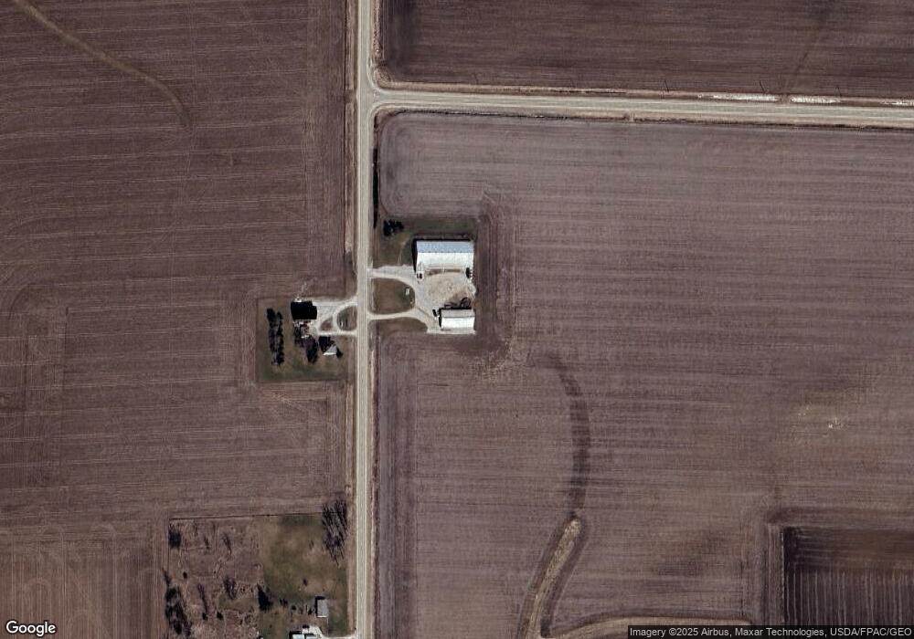
Map
Nearby Homes
- 3251 Brandon Diagonal Blvd
- 804 Main St
- 0 Gabriel Ave
- 0 Tbd 325th St
- 2554 Henley Ave
- 0 25th Ave
- TBD Jamestown Ave
- 00 Garling Rd
- 0 Garling Rd
- 2859 51st St
- 2520 Wooster Rd
- 2500 Swan Lake Blvd
- 2200 Swan Lake Blvd
- 2400 Swan Lake Blvd
- 1715 11th St
- 0 Benson Ridge Addition Unit Lot 7
- 0 Benson Ridge Addition Unit Lot 1
- 0 Benson Ridge Addition Unit Lot 2
- Lot 4 Benson Shady Grove Ave
- Lot 2 Benson Shady Grove Ave
Your Personal Tour Guide
Ask me questions while you tour the home.