Estimated Value: $443,000 - $477,000
3
Beds
2
Baths
2,100
Sq Ft
$219/Sq Ft
Est. Value
About This Home
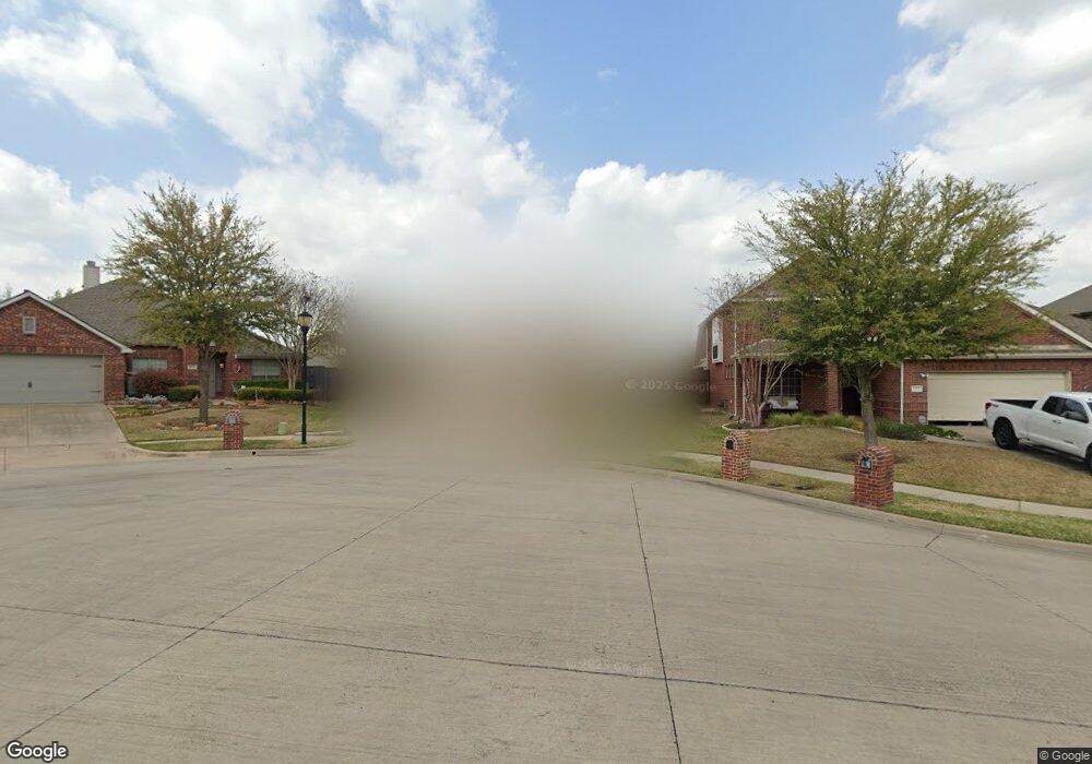
This home is located at 2910 Katie Cir, Wylie, TX 75098 and is currently estimated at $460,392, approximately $219 per square foot. 2910 Katie Cir is a home located in Collin County with nearby schools including R V Groves Elementary School, Dr. Al Draper Intermediate Middle School, and Raymond B Cooper J High School.
Ownership History
Date
Name
Owned For
Owner Type
Purchase Details
Closed on
Sep 5, 2019
Sold by
Marley Jacob J and Marley Vannessa Quinn
Bought by
Marley Jacob J and Marley Vannessa Quinn
Current Estimated Value
Purchase Details
Closed on
Aug 31, 2016
Sold by
Talbott Justin M and Talbott Kathryn M
Bought by
Marley Jacob and Marley Vannessa
Home Financials for this Owner
Home Financials are based on the most recent Mortgage that was taken out on this home.
Original Mortgage
$224,000
Outstanding Balance
$179,038
Interest Rate
3.45%
Mortgage Type
New Conventional
Estimated Equity
$281,354
Purchase Details
Closed on
Feb 27, 2008
Sold by
Ashton Dallas Residential Llc
Bought by
Talbott Justin M and Talbott Kathryn M
Home Financials for this Owner
Home Financials are based on the most recent Mortgage that was taken out on this home.
Original Mortgage
$205,200
Interest Rate
5.68%
Mortgage Type
Purchase Money Mortgage
Create a Home Valuation Report for This Property
The Home Valuation Report is an in-depth analysis detailing your home's value as well as a comparison with similar homes in the area
Home Values in the Area
Average Home Value in this Area
Purchase History
| Date | Buyer | Sale Price | Title Company |
|---|---|---|---|
| Marley Jacob J | -- | None Available | |
| Marley Jacob | -- | Freedom Title | |
| Talbott Justin M | -- | Stnt |
Source: Public Records
Mortgage History
| Date | Status | Borrower | Loan Amount |
|---|---|---|---|
| Open | Marley Jacob | $224,000 | |
| Previous Owner | Talbott Justin M | $205,200 |
Source: Public Records
Tax History Compared to Growth
Tax History
| Year | Tax Paid | Tax Assessment Tax Assessment Total Assessment is a certain percentage of the fair market value that is determined by local assessors to be the total taxable value of land and additions on the property. | Land | Improvement |
|---|---|---|---|---|
| 2025 | $7,703 | $502,909 | $143,750 | $384,077 |
| 2024 | $7,703 | $457,190 | $143,750 | $348,444 |
| 2023 | $7,703 | $415,627 | $126,500 | $345,555 |
| 2022 | $8,289 | $377,843 | $103,500 | $299,594 |
| 2021 | $8,082 | $343,494 | $80,500 | $262,994 |
| 2020 | $8,147 | $328,092 | $74,750 | $253,342 |
| 2019 | $8,626 | $328,234 | $74,750 | $253,484 |
| 2018 | $8,532 | $316,802 | $74,750 | $242,052 |
| 2017 | $7,423 | $275,629 | $69,000 | $206,629 |
| 2016 | $6,790 | $247,365 | $57,500 | $189,865 |
| 2015 | $5,483 | $222,145 | $51,750 | $170,395 |
Source: Public Records
Map
Nearby Homes
- 2912 Katie Cir
- 2907 Abby Ln
- 307 Wooded Creek Ave
- 3014 Eastwood Dr
- 310 Admiral Dr
- 3105 Admiral Dr
- 3119 Connor Ln
- 2615 Gum Tree Trail
- 3003 Candlebrook Dr
- Iris Plan at Wooded Creek
- Beckett II Plan at Wooded Creek
- Annabelle III Plan at Wooded Creek
- 3111 Candlebrook Dr
- 3017 Eagle Mountain Dr
- 2606 Parkbridge Ct
- 1205 Periwinkle Dr
- 3103 Creekwood Dr
- 3006 Springwell Pkwy
- 802 Appalachian Dr
- 206 Grassy Creek Dr
- 2908 Katie Cir
- 2913 Preston Ln
- 2906 Katie Cir
- 2911 Preston Ln
- 2909 Preston Ln
- 2914 Katie Cir
- 2907 Preston Ln
- 2917 Preston Ln
- 2904 Katie Cir
- 2911 Katie Cir
- 418 Wooded Creek Ave
- 2909 Katie Cir
- 420 Wooded Creek Ave
- 2919 Preston Ln
- 2905 Preston Ln
- 2913 Katie Cir
- 416 Wooded Creek Ave
- 2902 Katie Cir
- 2907 Katie Cir