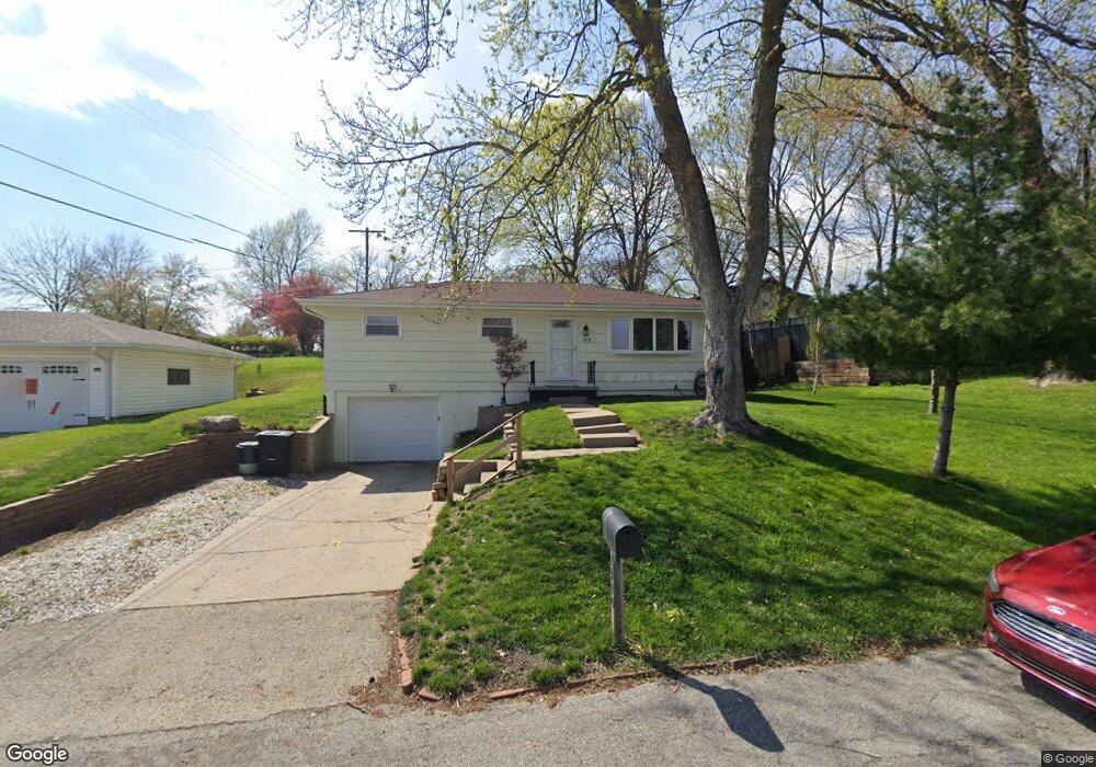
2910 N 32nd St Saint Joseph, MO 64506
Ashland NeighborhoodEstimated Value: $185,000 - $207,000
3
Beds
2
Baths
1,025
Sq Ft
$192/Sq Ft
Est. Value
About This Home
This home is located at 2910 N 32nd St, Saint Joseph, MO 64506 and is currently estimated at $196,570, approximately $191 per square foot. 2910 N 32nd St is a home located in Buchanan County with nearby schools including Field Elementary School, Bode Middle School, and Central High School.
Ownership History
Date
Name
Owned For
Owner Type
Purchase Details
Closed on
Jan 31, 2007
Sold by
Mckinney Ted L and Mckinney Dianna Lynn
Bought by
Carter David D
Current Estimated Value
Home Financials for this Owner
Home Financials are based on the most recent Mortgage that was taken out on this home.
Original Mortgage
$110,000
Outstanding Balance
$64,361
Interest Rate
6.11%
Mortgage Type
New Conventional
Estimated Equity
$132,209
Create a Home Valuation Report for This Property
The Home Valuation Report is an in-depth analysis detailing your home's value as well as a comparison with similar homes in the area
Home Values in the Area
Average Home Value in this Area
Purchase History
| Date | Buyer | Sale Price | Title Company |
|---|---|---|---|
| Carter David D | -- | Hall Abstract & Title Co |
Source: Public Records
Mortgage History
| Date | Status | Borrower | Loan Amount |
|---|---|---|---|
| Open | Carter David D | $110,000 |
Source: Public Records
Tax History Compared to Growth
Tax History
| Year | Tax Paid | Tax Assessment Tax Assessment Total Assessment is a certain percentage of the fair market value that is determined by local assessors to be the total taxable value of land and additions on the property. | Land | Improvement |
|---|---|---|---|---|
| 2025 | $1,202 | $16,660 | $4,280 | $12,380 |
| 2024 | $1,140 | $15,800 | $4,280 | $11,520 |
| 2023 | $1,140 | $15,800 | $4,280 | $11,520 |
| 2022 | $1,053 | $15,800 | $4,280 | $11,520 |
| 2021 | $1,057 | $15,800 | $4,280 | $11,520 |
| 2020 | $1,051 | $15,800 | $4,280 | $11,520 |
| 2019 | $1,015 | $15,800 | $4,280 | $11,520 |
| 2018 | $918 | $15,800 | $4,280 | $11,520 |
| 2017 | $909 | $15,800 | $0 | $0 |
| 2015 | $0 | $15,800 | $0 | $0 |
| 2014 | $992 | $15,740 | $0 | $0 |
Source: Public Records
Map
Nearby Homes
- 3117 Miller Ave
- 3000 Sheffield Ln
- 2634 Lucille Ave
- 3405 Gene Field Rd
- 00 Lot 1 Highway 169
- 00 Lot 2 Highway 169
- 2520 N 35th St
- 2505 N 29th St
- 2519 Forest Ave
- 28 Court Ln
- 3508 E Lantern Ln
- 4411 Rochester Rd
- 3904 N 29th St
- 4301 N 169 Hwy
- 3413 W Colony Square
- 3212 Morton Ln
- 2110 Ashland Ave
- 2712 N 39th Terrace
- 3103 Cook Rd
- 3904 Remington Ct
- 2904 N 32nd St
- 3130 Summit Ave
- 3128 Summit Ave
- 2909 N 32nd St
- 3129 Dale Ave
- 3202 Summit Ave
- 2902 N 32nd St
- 3201 Dale Ave
- 3116 Summit Ave
- 3206 Summit Ave
- 3125 Dale Ave
- 3203 Dale Ave
- 3210 Summit Ave
- 3135 Summit Ave
- 3133 Summit Ave
- 3137 Summit Ave
- 3112 Summit Ave
- 3131 Summit Ave
- 3205 Dale Ave
- 3203 Summit Ave