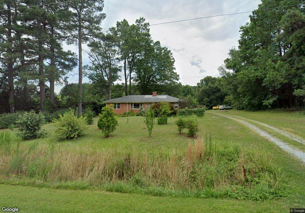
2910 Shady Grove Rd Durham, NC 27703
Eastern Durham NeighborhoodEstimated Value: $324,228 - $355,000
3
Beds
1
Bath
1,176
Sq Ft
$290/Sq Ft
Est. Value
About This Home
This home is located at 2910 Shady Grove Rd, Durham, NC 27703 and is currently estimated at $340,807, approximately $289 per square foot. 2910 Shady Grove Rd is a home located in Durham County with nearby schools including Spring Valley Elementary School, John W Neal Middle School, and Southern School of Energy & Sustainability.
Ownership History
Date
Name
Owned For
Owner Type
Purchase Details
Closed on
Jan 17, 2017
Sold by
King Aquilla King Estate
Bought by
Delamar William Christopher
Current Estimated Value
Home Financials for this Owner
Home Financials are based on the most recent Mortgage that was taken out on this home.
Original Mortgage
$178,525
Outstanding Balance
$146,059
Interest Rate
3.87%
Mortgage Type
FHA
Estimated Equity
$194,748
Create a Home Valuation Report for This Property
The Home Valuation Report is an in-depth analysis detailing your home's value as well as a comparison with similar homes in the area
Home Values in the Area
Average Home Value in this Area
Purchase History
We collect this data history from publicly available records. To have your information removed, we recommend requesting removal directly through your county’s website.
| Date | Buyer | Sale Price | Title Company |
|---|---|---|---|
| Delamar William Christopher | $185,000 | -- |
Source: Public Records
Mortgage History
We collect this data history from publicly available records. To have your information removed, we recommend requesting removal directly through your county’s website.
| Date | Status | Borrower | Loan Amount |
|---|---|---|---|
| Open | Delamar William Christopher | $178,525 |
Source: Public Records
Tax History
| Year | Tax Paid | Tax Assessment Tax Assessment Total Assessment is a certain percentage of the fair market value that is determined by local assessors to be the total taxable value of land and additions on the property. | Land | Improvement |
|---|---|---|---|---|
| 2025 | $2,332 | $322,488 | $216,440 | $106,048 |
| 2024 | $2,133 | $202,840 | $112,995 | $89,845 |
| 2023 | $2,053 | $202,840 | $112,995 | $89,845 |
| 2022 | $1,992 | $202,840 | $112,995 | $89,845 |
| 2021 | $1,779 | $202,840 | $112,995 | $89,845 |
| 2020 | $1,739 | $202,840 | $112,995 | $89,845 |
| 2019 | $1,718 | $202,840 | $112,995 | $89,845 |
| 2018 | $1,394 | $151,044 | $71,310 | $79,734 |
| 2017 | $725 | $151,044 | $71,310 | $79,734 |
| 2016 | $703 | $151,044 | $71,310 | $79,734 |
| 2015 | $609 | $101,857 | $37,344 | $64,513 |
| 2014 | $612 | $101,857 | $37,344 | $64,513 |
Source: Public Records
Map
Nearby Homes
- 7326 Leesville Rd
- 12316 N Exeter Way
- 12304 Aberdeen Chase Way
- 2104 Maplemere Ct
- 7250 Terregles Dr
- 5403 Running Fox Ln
- 5409 Running Fox Ln
- 5407 Running Fox Ln
- 5405 Running Fox Ln
- 5401 Running Fox Ln
- 5416 Running Fox Ln
- 5418 Running Fox Ln
- 5420 Running Fox Ln
- 5422 Running Fox Ln
- 10141 Bessborough Dr
- 5468 Ingate Way
- 5612 Slaytenbush Ln
- 5718 Severn Grove Dr
- 2137 Curry Meadow Way
- 2125 Curry Meadow Way
- 3035 Shady Grove Rd
- 12448 N Exeter Way
- 12441 Angel Vale Place
- 12444 N Exeter Way
- 12440 N Exeter Way
- 12437 Angel Vale Place
- 12440 Angel Vale Place
- 12449 N Exeter Way
- 11216 N Exeter Way
- 12433 Angel Vale Place
- 12436 N Exeter Way
- 12445 N Exeter Way
- 12436 Angel Vale Place
- 12429 Angel Vale Place
- 12432 N Exeter Way
- 12441 N Exeter Way
- 12428 Angel Vale Place
- 12437 N Exeter Way
- 12428 N Exeter Way
- 7325 Leesville Rd
Your Personal Tour Guide
Ask me questions while you tour the home.