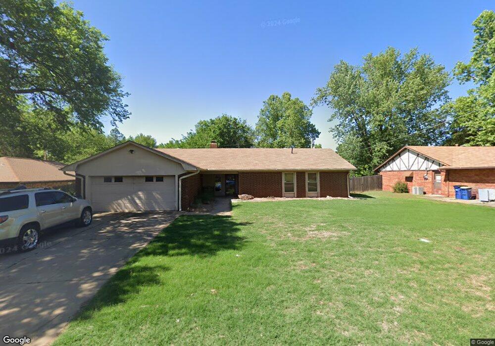
2910 W 15th Ave Stillwater, OK 74074
Estimated Value: $207,000 - $245,000
3
Beds
2
Baths
1,701
Sq Ft
$130/Sq Ft
Est. Value
About This Home
This home is located at 2910 W 15th Ave, Stillwater, OK 74074 and is currently estimated at $221,862, approximately $130 per square foot. 2910 W 15th Ave is a home located in Payne County with nearby schools including Sangre Ridge Elementary School, Stillwater Middle School, and Stillwater Junior High School.
Ownership History
Date
Name
Owned For
Owner Type
Purchase Details
Closed on
Jun 15, 2023
Sold by
Brown Daniel S and Brown Andrea
Bought by
Daniel And Andrea Brown Family Trust
Current Estimated Value
Purchase Details
Closed on
Aug 20, 2012
Sold by
Allen Kenneth L and Allen Jamie
Bought by
Brown Daniel S and Brown Andrea
Home Financials for this Owner
Home Financials are based on the most recent Mortgage that was taken out on this home.
Original Mortgage
$110,200
Interest Rate
3.63%
Mortgage Type
New Conventional
Create a Home Valuation Report for This Property
The Home Valuation Report is an in-depth analysis detailing your home's value as well as a comparison with similar homes in the area
Home Values in the Area
Average Home Value in this Area
Purchase History
| Date | Buyer | Sale Price | Title Company |
|---|---|---|---|
| Daniel And Andrea Brown Family Trust | -- | None Listed On Document | |
| Brown Daniel S | $116,000 | None Available |
Source: Public Records
Mortgage History
| Date | Status | Borrower | Loan Amount |
|---|---|---|---|
| Previous Owner | Brown Daniel S | $110,200 |
Source: Public Records
Tax History Compared to Growth
Tax History
| Year | Tax Paid | Tax Assessment Tax Assessment Total Assessment is a certain percentage of the fair market value that is determined by local assessors to be the total taxable value of land and additions on the property. | Land | Improvement |
|---|---|---|---|---|
| 2024 | $2,081 | $20,467 | $3,628 | $16,839 |
| 2023 | $2,081 | $19,492 | $3,487 | $16,005 |
| 2022 | $1,879 | $18,564 | $3,650 | $14,914 |
| 2021 | $1,754 | $17,680 | $3,768 | $13,912 |
| 2020 | $1,670 | $16,838 | $2,850 | $13,988 |
| 2019 | $1,705 | $16,839 | $2,850 | $13,989 |
| 2018 | $1,662 | $16,425 | $2,780 | $13,645 |
| 2017 | $1,581 | $15,643 | $2,850 | $12,793 |
| 2016 | $1,614 | $15,643 | $2,850 | $12,793 |
| 2015 | $1,636 | $15,643 | $2,850 | $12,793 |
| 2014 | $1,650 | $15,641 | $2,850 | $12,791 |
Source: Public Records
Map
Nearby Homes
- 1612 S Celia Ln
- 1623 S Surrey Dr
- 3016 W Wellington Ave
- 1923 S Elvin Dr
- 3305 W Cypress Mill Ave
- 19 Arbor Cir
- 14 Arbor Cir
- 3317 W Charleston Ct
- 1714 S Peacock Ln
- 1738 S Peacock Ln
- 1744 S Peacock Ln
- 1706 S Peacock Ln
- 1804 S Peacock Ln
- 1812 S Peacock Ln
- 1305 S Sangre Rd
- 3711 S Sangre Rd
- 3920 S Autumn Trail
- 2199 W 19th Ave
- 3516 Stonewall Ranch Dr
- 3226 Stonewall Ranch Dr
- 1421 S Surrey Dr
- 2902 W 15th Ave
- 1411 S Surrey Dr
- 1417 S Surrey Dr
- 1409 S Surrey Dr
- 2823 W 15th Ave
- 2820 W 15th Ave
- 2911 W 15th Ave
- 1424 S Surrey Dr
- 1420 S Surrey Dr
- 1405 S Surrey Dr
- 2816 W 15th Ave
- 1428 S Surrey Dr
- 1520 S Celia Ln
- 1410 S August St
- 1503 S Surrey Dr
- 1416 S Surrey Dr
- 1432 S Surrey Dr
- 1406 S August St
- 1401 S Surrey Dr