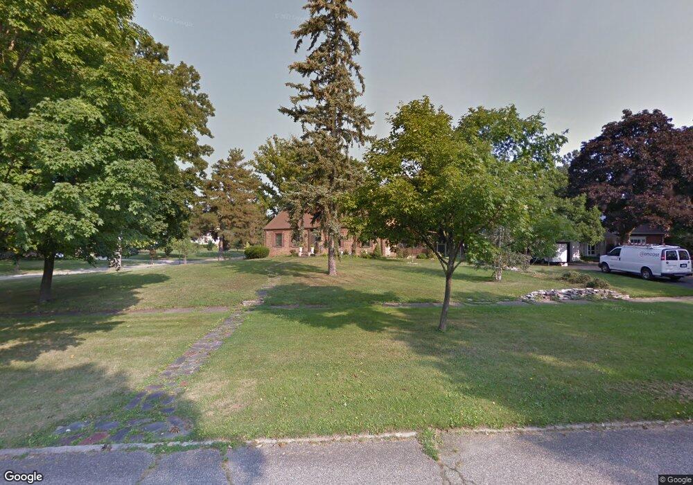
2910 Westwood Pkwy Flint, MI 48503
Woodcroft Estates NeighborhoodEstimated Value: $233,486 - $279,000
3
Beds
3
Baths
1,916
Sq Ft
$129/Sq Ft
Est. Value
About This Home
This home is located at 2910 Westwood Pkwy, Flint, MI 48503 and is currently estimated at $247,122, approximately $128 per square foot. 2910 Westwood Pkwy is a home located in Genesee County with nearby schools including Durant-Tuuri-Mott Elementary School, Flint Southwestern Classical Academy, and St. Paul Lutheran School.
Ownership History
Date
Name
Owned For
Owner Type
Purchase Details
Closed on
Sep 14, 2009
Sold by
Shaker Lawrence Mark
Bought by
Foutch David M
Current Estimated Value
Purchase Details
Closed on
Jan 21, 2009
Sold by
Citizens Bank Wealth Management Na
Bought by
Shaker Lawrence Mark
Purchase Details
Closed on
Jul 15, 2005
Sold by
Shaker James M
Bought by
Citizens Bank Wealth Management Na and The James M Shaker Revocable Trust
Create a Home Valuation Report for This Property
The Home Valuation Report is an in-depth analysis detailing your home's value as well as a comparison with similar homes in the area
Home Values in the Area
Average Home Value in this Area
Purchase History
| Date | Buyer | Sale Price | Title Company |
|---|---|---|---|
| Foutch David M | $78,000 | Lighthouse Title Inc | |
| Shaker Lawrence Mark | -- | None Available | |
| Citizens Bank Wealth Management Na | -- | -- |
Source: Public Records
Tax History Compared to Growth
Tax History
| Year | Tax Paid | Tax Assessment Tax Assessment Total Assessment is a certain percentage of the fair market value that is determined by local assessors to be the total taxable value of land and additions on the property. | Land | Improvement |
|---|---|---|---|---|
| 2025 | $4,081 | $114,000 | $0 | $0 |
| 2024 | $3,714 | $104,200 | $0 | $0 |
| 2023 | $2,653 | $99,200 | $0 | $0 |
| 2022 | $0 | $88,700 | $0 | $0 |
| 2021 | $2,807 | $81,800 | $0 | $0 |
| 2020 | $2,457 | $74,200 | $0 | $0 |
| 2019 | $2,346 | $75,200 | $0 | $0 |
| 2018 | $2,508 | $70,700 | $0 | $0 |
| 2017 | $2,421 | $0 | $0 | $0 |
| 2016 | $2,401 | $0 | $0 | $0 |
| 2015 | -- | $0 | $0 | $0 |
| 2014 | -- | $0 | $0 | $0 |
| 2012 | -- | $49,800 | $0 | $0 |
Source: Public Records
Map
Nearby Homes
- 3102 Westwood Pkwy
- 3001 Yale St
- 2926 Yale St
- 3401 Westwood Pkwy
- 3402 Brandon St
- 3305 Larchmont St
- 3214 Clairmont St
- 1516 Gainey Ave
- 3506 Chicago Blvd
- 1414 Knapp Ave
- 1326 Hughes Ave
- 3217 Arlene Ave
- 1318 Knapp Ave
- 2608 Cumings Ave
- 1126 Clancy Ave
- 2618 Brown St
- 1114 Clancy Ave
- 1725 Lincoln Dr
- 1202 Knapp Ave
- 2537 Swayze St
- 2902 Westwood Pkwy
- 1941 Colchester Rd
- 1950 Colchester Rd
- 2820 Westwood Pkwy
- 1940 Colchester Rd
- 1931 Colchester Rd
- 1930 Colchester Rd
- 2901 Westwood Pkwy
- 2001 Colchester Rd
- 1921 Colchester Rd Unit Bldg-Unit
- 1921 Colchester Rd
- 2802 Westwood Pkwy
- 2041 Oxford Ln
- 1911 Colchester Rd
- 1920 Hampden Rd
- 1920 Colchester Rd
- 3000 Westwood Pkwy
- 2031 Oxford Ln
- 2821 Westwood Pkwy
- 1910 Hampden Rd