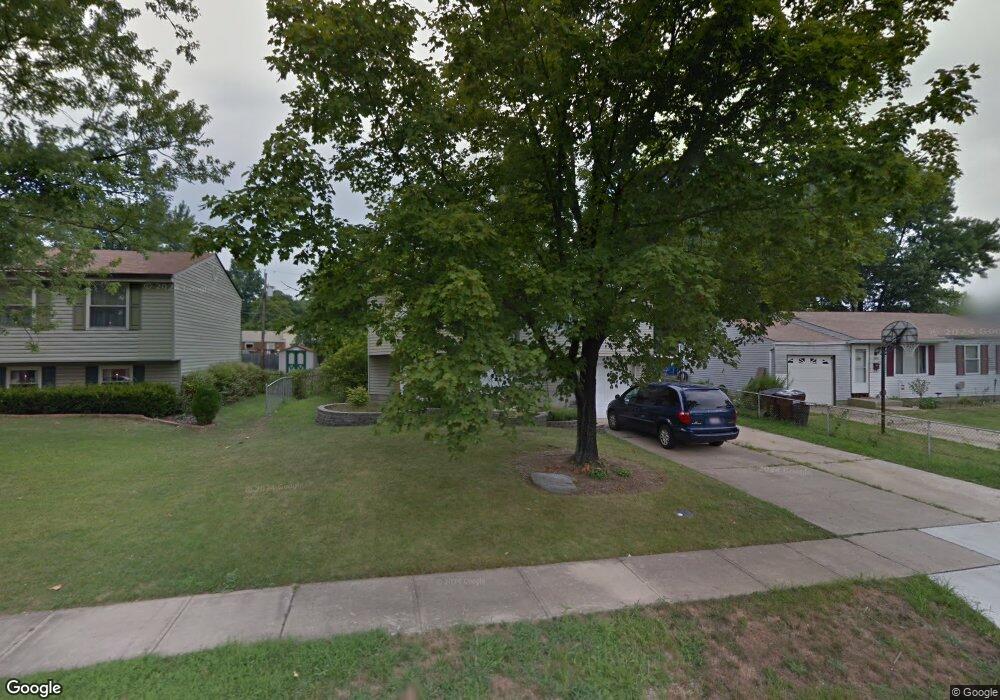
2910 Windsong Dr Cincinnati, OH 45251
Estimated Value: $206,398 - $229,000
3
Beds
1
Bath
1,500
Sq Ft
$145/Sq Ft
Est. Value
About This Home
This home is located at 2910 Windsong Dr, Cincinnati, OH 45251 and is currently estimated at $217,850, approximately $145 per square foot. 2910 Windsong Dr is a home located in Hamilton County with nearby schools including Colerain Elementary School, Colerain Middle School, and Colerain High School.
Ownership History
Date
Name
Owned For
Owner Type
Purchase Details
Closed on
Aug 6, 2004
Sold by
Bien Aime Georges and Morris Angela
Bought by
Bien Aime Georges
Current Estimated Value
Purchase Details
Closed on
Jul 29, 1998
Sold by
Whitacre Deborah L
Bought by
Morris Anthony E
Create a Home Valuation Report for This Property
The Home Valuation Report is an in-depth analysis detailing your home's value as well as a comparison with similar homes in the area
Home Values in the Area
Average Home Value in this Area
Purchase History
| Date | Buyer | Sale Price | Title Company |
|---|---|---|---|
| Bien Aime Georges | -- | -- | |
| Morris Anthony E | $84,500 | -- |
Source: Public Records
Tax History
| Year | Tax Paid | Tax Assessment Tax Assessment Total Assessment is a certain percentage of the fair market value that is determined by local assessors to be the total taxable value of land and additions on the property. | Land | Improvement |
|---|---|---|---|---|
| 2025 | $3,191 | $55,318 | $8,883 | $46,435 |
| 2023 | $2,976 | $55,318 | $8,883 | $46,435 |
| 2022 | $2,273 | $34,412 | $7,833 | $26,579 |
| 2021 | $2,253 | $34,412 | $7,833 | $26,579 |
| 2020 | $2,277 | $34,412 | $7,833 | $26,579 |
| 2019 | $1,969 | $27,752 | $6,318 | $21,434 |
| 2018 | $1,767 | $27,752 | $6,318 | $21,434 |
| 2017 | $1,674 | $27,752 | $6,318 | $21,434 |
| 2016 | $1,868 | $30,587 | $6,377 | $24,210 |
| 2015 | $1,886 | $30,587 | $6,377 | $24,210 |
| 2014 | $1,889 | $30,587 | $6,377 | $24,210 |
| 2013 | $1,892 | $32,197 | $6,713 | $25,484 |
Source: Public Records
Map
Nearby Homes
- 2908 Libra Ln
- 9561 Trafalgar Ct
- 2983 Aries Ct
- 3013 Niagara St
- 3099 Niagara St
- 3123 Niagara St
- 9302 Loralinda Dr
- 3211 Heritage Square Dr
- 9500 Ridgemoor Ave
- 9631 Crosley Farm Dr
- 3225 Heritage Square Dr
- 9224 Comstock Dr
- 3258 Lillwood Ln
- 9457 Willowgate Dr
- 9161 Trelawney Ct
- 2714 Compton Rd
- 9503 Haddington Ct
- 9287 Coogan Dr
- 9528 Haddington Ct
- 2528 Mariposa St
- 2898 Windsong Dr
- 2922 Windsong Dr
- 2934 Windsong Dr
- 2884 Windsong Dr
- 2909 Glenaire Dr
- 2897 Glenaire Dr
- 2921 Glenaire Dr
- 2911 Windsong Dr
- 2933 Glenaire Dr
- 2923 Windsong Dr
- 2889 Glenaire Dr
- 2897 Windsong Dr
- 2866 Windsong Dr
- 2946 Windsong Dr
- 2935 Windsong Dr
- 2887 Windsong Dr
- 2945 Glenaire Dr
- 2852 Windsong Dr
- 2956 Windsong Dr
- 2947 Windsong Dr
Your Personal Tour Guide
Ask me questions while you tour the home.