29108 452nd Ave Viborg, SD 57070
Estimated Value: $241,000 - $286,000
3
Beds
1
Bath
672
Sq Ft
$396/Sq Ft
Est. Value
About This Home
This home is located at 29108 452nd Ave, Viborg, SD 57070 and is currently estimated at $266,273, approximately $396 per square foot. 29108 452nd Ave is a home with nearby schools including Viborg-Hurley Elementary School, Cameron Colony Elementary School, and Viborg-Hurley Middle School.
Ownership History
Date
Name
Owned For
Owner Type
Purchase Details
Closed on
Nov 27, 2013
Sold by
Matthew L Matthew L
Bought by
Koltze Alexander P
Current Estimated Value
Home Financials for this Owner
Home Financials are based on the most recent Mortgage that was taken out on this home.
Original Mortgage
$60,000
Interest Rate
4.1%
Mortgage Type
Stand Alone First
Create a Home Valuation Report for This Property
The Home Valuation Report is an in-depth analysis detailing your home's value as well as a comparison with similar homes in the area
Purchase History
| Date | Buyer | Sale Price | Title Company |
|---|---|---|---|
| Koltze Alexander P | -- | Getty Abstract & Title Compa | |
| Koltze Alexander P | -- | Getty Abstract & Title Compa |
Source: Public Records
Mortgage History
| Date | Status | Borrower | Loan Amount |
|---|---|---|---|
| Previous Owner | Koltze Alexander P | $60,000 |
Source: Public Records
Tax History
| Year | Tax Paid | Tax Assessment Tax Assessment Total Assessment is a certain percentage of the fair market value that is determined by local assessors to be the total taxable value of land and additions on the property. | Land | Improvement |
|---|---|---|---|---|
| 2025 | $2,022 | $177,058 | $83,662 | $93,396 |
| 2024 | $1,777 | $177,058 | $83,662 | $93,396 |
| 2023 | $1,633 | $160,961 | $76,056 | $84,905 |
| 2022 | $1,379 | $146,328 | $69,142 | $77,186 |
| 2021 | $1,217 | $128,358 | $60,651 | $67,707 |
| 2020 | $1,144 | $116,689 | $55,137 | $61,552 |
| 2019 | $1,107 | $109,055 | $51,530 | $57,525 |
| 2018 | $1,066 | $100,980 | $47,715 | $53,265 |
| 2017 | $1,073 | $93,500 | $44,180 | $49,320 |
| 2016 | $1,411 | $93,500 | $44,180 | $49,320 |
| 2015 | $1,411 | $85,000 | $40,165 | $44,835 |
| 2012 | -- | $63,815 | $30,155 | $33,660 |
Source: Public Records
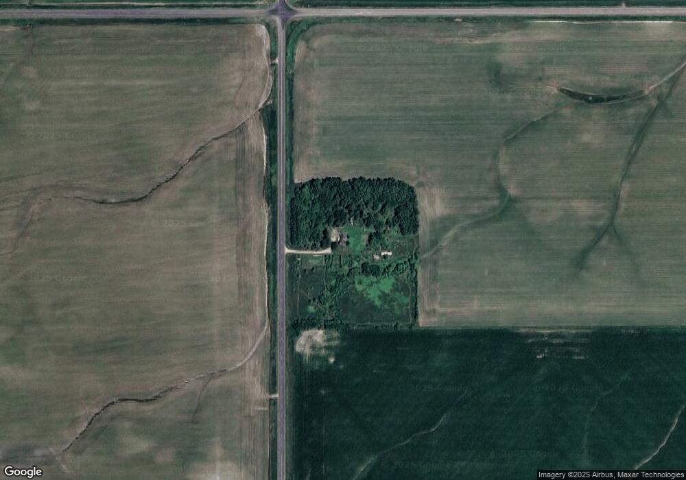
Map
Nearby Homes
- 45117 292nd St
- 452nd Avenue
- 293rd and 452nd
- 0 455th Ave
- 0 Lot 10 Block 4 Viking Ave Ave Unit 22600393
- 0 Lot 1a Block 3 Viking Ave Ave Unit 22600396
- 0 Lot 10 Block 2 Valhalla Dr Dr
- 202 N Kemper St
- 306 N Main St
- 0 N Elmwood St Unit 22507122
- 208 S Clark St
- 210 Clark St
- 210 S Clark
- 105 N Nora St
- 0 Tbd Dakota Tr 7 Ave Ave Unit 22601212
- 0 Tbd Industrial Tr 19 St St Unit 22601215
- 0 Tbd Dakota Tr 8 Ave Ave Unit 22601214
- 0 Tbd Jorgensen Tr 11 St St Unit 22601210
- 0 Tbd Jorgensen Tr 13 St St Unit 22601207
- 100 Bright Shores Dr Dr
Your Personal Tour Guide
Ask me questions while you tour the home.