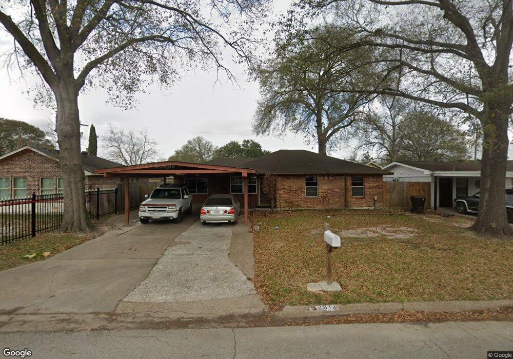
2911 Barksdale Dr Houston, TX 77093
Eastex-Jensen NeighborhoodEstimated Value: $177,355 - $187,000
3
Beds
2
Baths
1,424
Sq Ft
$127/Sq Ft
Est. Value
About This Home
This home is located at 2911 Barksdale Dr, Houston, TX 77093 and is currently estimated at $180,589, approximately $126 per square foot. 2911 Barksdale Dr is a home located in Harris County with nearby schools including Scarborough Elementary School, Patrick Henry Middle School, and Sam Houston Math, Science & Technology Center.
Ownership History
Date
Name
Owned For
Owner Type
Purchase Details
Closed on
Sep 24, 1993
Sold by
Cornehl Roman W and Cornehl Marlene J
Bought by
Diaz Luis F and Diaz Deysi R
Current Estimated Value
Home Financials for this Owner
Home Financials are based on the most recent Mortgage that was taken out on this home.
Original Mortgage
$40,170
Interest Rate
7.16%
Mortgage Type
FHA
Create a Home Valuation Report for This Property
The Home Valuation Report is an in-depth analysis detailing your home's value as well as a comparison with similar homes in the area
Home Values in the Area
Average Home Value in this Area
Purchase History
| Date | Buyer | Sale Price | Title Company |
|---|---|---|---|
| Diaz Luis F | -- | Stewart Title |
Source: Public Records
Mortgage History
| Date | Status | Borrower | Loan Amount |
|---|---|---|---|
| Closed | Diaz Luis F | $40,170 |
Source: Public Records
Tax History Compared to Growth
Tax History
| Year | Tax Paid | Tax Assessment Tax Assessment Total Assessment is a certain percentage of the fair market value that is determined by local assessors to be the total taxable value of land and additions on the property. | Land | Improvement |
|---|---|---|---|---|
| 2025 | $2,502 | $169,669 | $50,369 | $119,300 |
| 2024 | $2,502 | $160,958 | $41,513 | $119,445 |
| 2023 | $2,502 | $161,851 | $41,513 | $120,338 |
| 2022 | $2,486 | $147,326 | $27,675 | $119,651 |
| 2021 | $2,392 | $121,420 | $17,989 | $103,431 |
| 2020 | $2,259 | $114,880 | $17,989 | $96,891 |
| 2019 | $2,146 | $109,001 | $15,221 | $93,780 |
| 2018 | $262 | $77,112 | $15,221 | $61,891 |
| 2017 | $1,950 | $77,112 | $15,221 | $61,891 |
| 2016 | $1,793 | $70,898 | $15,221 | $55,677 |
| 2015 | $453 | $70,898 | $15,221 | $55,677 |
| 2014 | $453 | $84,844 | $15,221 | $69,623 |
Source: Public Records
Map
Nearby Homes
- 1728 Little York Rd
- 1904 Little York Rd
- 2636 Lone Oak Rd
- 2629 Kowis St
- 2817 Cromwell St
- 4918 Langley Rd
- 3418 Hopper Rd
- 2315 Langley Rd
- 3804 Cedar Hill Ln
- 2332 Margaret St
- 3214 Brea Crest St
- 2415 Goodloe St
- 2915 Brea Crest St
- 2311 Warwick Rd
- 2237 Cromwell St
- 2152 William Tell St
- 2122 Kowis St
- 3202 Parker Rd
- 2326 Sunny Dr
- 11716 Innsbury Dr
- 2915 Barksdale Dr
- 2907 Barksdale Dr
- 2912 Trenton Rd
- 2908 Trenton Rd
- 2919 Barksdale Dr
- 2916 Trenton Rd
- 2912 Barksdale Dr
- 2916 Barksdale Dr
- 2920 Trenton Rd
- 2908 Barksdale Dr
- 2923 Barksdale Dr
- 2920 Barksdale Dr
- 10811 Royal Pine Dr
- 10807 Royal Pine Dr
- 2904 Barksdale Dr
- 10815 Royal Pine Dr
- 2924 Barksdale Dr
- 2924 Trenton Rd
- 10803 Royal Pine Dr
- 2927 Barksdale Dr