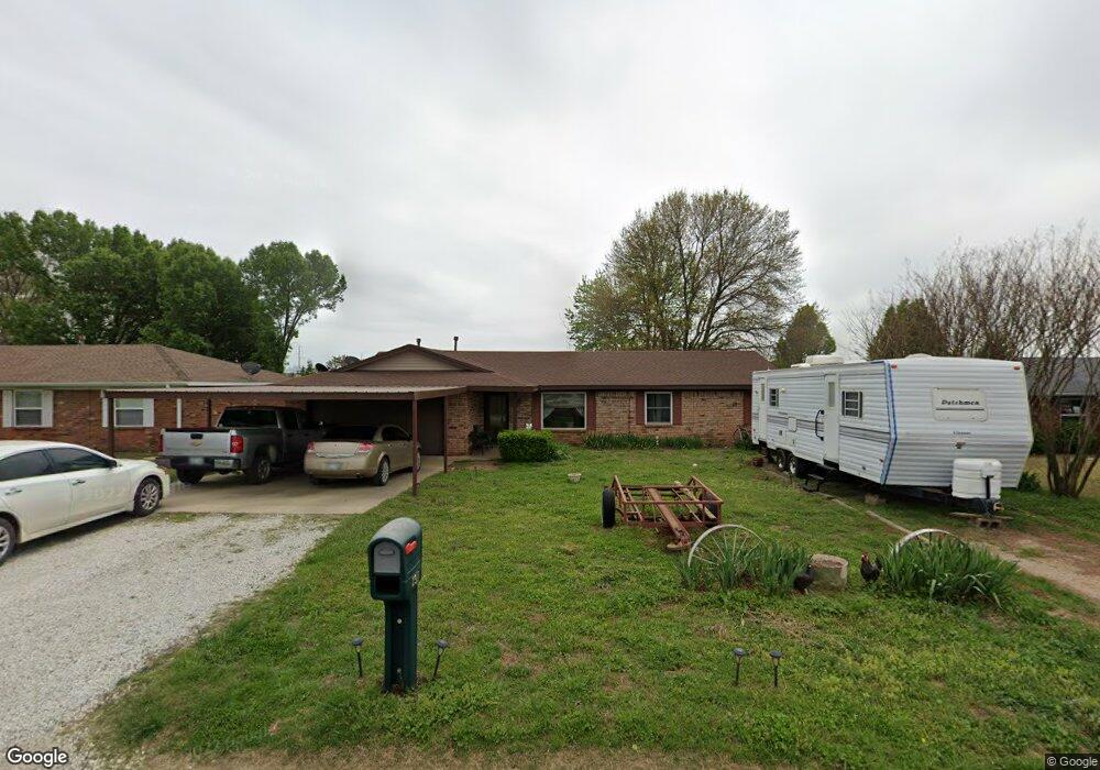
2911 Franklin Dr Shawnee, OK 74804
Estimated Value: $176,483 - $218,000
3
Beds
2
Baths
1,482
Sq Ft
$136/Sq Ft
Est. Value
About This Home
This home is located at 2911 Franklin Dr, Shawnee, OK 74804 and is currently estimated at $201,371, approximately $135 per square foot. 2911 Franklin Dr is a home located in Pottawatomie County with nearby schools including Will Rogers Elementary School, Shawnee Middle School, and Shawnee High School.
Ownership History
Date
Name
Owned For
Owner Type
Purchase Details
Closed on
Dec 2, 2022
Sold by
Abbott Martin M and Abbott Loetta E
Bought by
Martin M And Loetta E Abbott Revocable Trust
Current Estimated Value
Purchase Details
Closed on
Oct 17, 2006
Sold by
Myers James and Myers Margie
Bought by
Brackett Julanne
Purchase Details
Closed on
Mar 29, 1996
Sold by
Crauthers George and Crauthers Tammy
Bought by
Abbott Martin and Abbott Loetta
Create a Home Valuation Report for This Property
The Home Valuation Report is an in-depth analysis detailing your home's value as well as a comparison with similar homes in the area
Home Values in the Area
Average Home Value in this Area
Purchase History
| Date | Buyer | Sale Price | Title Company |
|---|---|---|---|
| Martin M And Loetta E Abbott Revocable Trust | -- | -- | |
| Brackett Julanne | $1,500 | None Available | |
| Abbott Martin | $65,500 | -- |
Source: Public Records
Tax History Compared to Growth
Tax History
| Year | Tax Paid | Tax Assessment Tax Assessment Total Assessment is a certain percentage of the fair market value that is determined by local assessors to be the total taxable value of land and additions on the property. | Land | Improvement |
|---|---|---|---|---|
| 2025 | $702 | $8,053 | $445 | $7,608 |
| 2024 | $689 | $7,818 | $445 | $7,373 |
| 2023 | $689 | $7,591 | $445 | $7,146 |
| 2022 | $653 | $7,369 | $445 | $6,924 |
| 2021 | $620 | $7,369 | $445 | $6,924 |
| 2020 | $601 | $6,947 | $445 | $6,502 |
| 2019 | $600 | $6,744 | $445 | $6,299 |
| 2018 | $568 | $6,548 | $445 | $6,103 |
| 2017 | $541 | $6,357 | $445 | $5,912 |
| 2016 | $528 | $6,172 | $445 | $5,727 |
| 2015 | $499 | $5,992 | $445 | $5,547 |
| 2014 | -- | $5,818 | $445 | $5,373 |
Source: Public Records
Map
Nearby Homes
- 37614 W Macarthur St
- 1914 Oak Tree Ct
- 1900 Timber Dale Dr
- 1902 Oak Tree Ct
- 1933 Rain Tree Dr
- 1828 W Federal St
- 2227 Whispering Pine Blvd
- 1821 W Wiley St
- 2418 Ellis Dr
- 13804 Coker Rd
- 2666 Legacy Place
- 2700 Woodlawn Ct
- 1522 W Wheeler St
- 000 W Locust St
- 38604 Collina Dr
- 121 Lake Shore Dr
- 1000 W 45th St
- 129 Lake Shore Dr
- 00 Gaddy Lot 2 Rd
- 29 Timber Creek Way