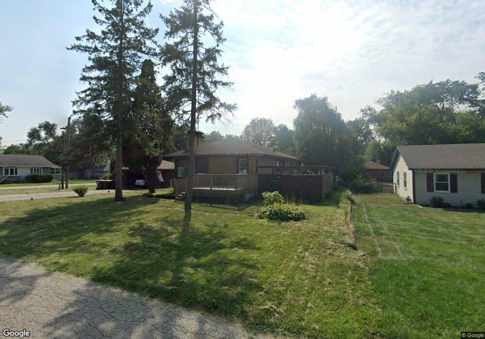
2911 S Riverside Dr McHenry, IL 60050
Burtons Bridge NeighborhoodEstimated Value: $196,813 - $256,000
--
Bed
2
Baths
1,008
Sq Ft
$227/Sq Ft
Est. Value
About This Home
This home is located at 2911 S Riverside Dr, McHenry, IL 60050 and is currently estimated at $228,453, approximately $226 per square foot. 2911 S Riverside Dr is a home located in McHenry County with nearby schools including Prairie Grove Elementary School, Prairie Grove Junior High School, and Prairie Ridge High School.
Ownership History
Date
Name
Owned For
Owner Type
Purchase Details
Closed on
Jul 12, 2006
Sold by
Tomaras Judith
Bought by
Tomaras Judith and Tomaras Scot
Current Estimated Value
Purchase Details
Closed on
Sep 1, 1998
Sold by
Tomaras Judith
Bought by
Tomaras Judith
Home Financials for this Owner
Home Financials are based on the most recent Mortgage that was taken out on this home.
Original Mortgage
$48,000
Interest Rate
7.02%
Create a Home Valuation Report for This Property
The Home Valuation Report is an in-depth analysis detailing your home's value as well as a comparison with similar homes in the area
Home Values in the Area
Average Home Value in this Area
Purchase History
| Date | Buyer | Sale Price | Title Company |
|---|---|---|---|
| Tomaras Judith | -- | None Available | |
| Tomaras Judith | -- | -- |
Source: Public Records
Mortgage History
| Date | Status | Borrower | Loan Amount |
|---|---|---|---|
| Closed | Tomaras Judith | $48,000 |
Source: Public Records
Tax History Compared to Growth
Tax History
| Year | Tax Paid | Tax Assessment Tax Assessment Total Assessment is a certain percentage of the fair market value that is determined by local assessors to be the total taxable value of land and additions on the property. | Land | Improvement |
|---|---|---|---|---|
| 2024 | $3,160 | $47,584 | $6,950 | $40,634 |
| 2023 | $3,068 | $42,673 | $6,233 | $36,440 |
| 2022 | $3,009 | $39,024 | $5,700 | $33,324 |
| 2021 | $2,809 | $36,587 | $5,344 | $31,243 |
| 2020 | $2,757 | $35,491 | $5,184 | $30,307 |
| 2019 | $2,668 | $33,743 | $4,929 | $28,814 |
| 2018 | $1,538 | $21,826 | $4,629 | $17,197 |
| 2017 | $987 | $20,910 | $4,435 | $16,475 |
| 2016 | $926 | $19,950 | $4,231 | $15,719 |
| 2013 | -- | $45,862 | $4,026 | $41,836 |
Source: Public Records
Map
Nearby Homes
- 000 Carman Ave S
- Lot 20 Holiday Dr
- Lot 5 Tower Dr
- 2509 S Birchwood Ave
- 3316 Greenwich Ln Unit 1
- 0 Southport Dr
- 3258 Hale Ln
- 3807 Mccabe Ave
- Lot 9 Burton Trail
- 766 Brittany Ln
- Lot W Northeast Shore Dr
- 2215 Crystal Cir
- 2610 S Thomas Ct
- 617 Yale Ln Unit 2
- 720 Tulip Cir
- 4126 Wildwood Dr
- 415 Newbury Dr
- 404 Lauren Ln
- 3024 Max Ct
- 4024 Newport Dr
- 2911 S Riverside Dr
- 1804 W Davis Ave
- 2907 S Riverside Dr
- 3001 S Riverside Dr
- 2909 S Riverside Dr
- 2918 S Riverside Dr
- 3003 S Riverside Dr
- 1810 W Davis Ave
- 1803 W Davis Ave
- 1803 W Davis Ave
- 2912 S Riverside Dr
- 3005 S Riverside Dr
- 2906 S Riverside Dr
- 1803 Surf St
- 3009 S Riverside Dr
- 2816 S Riverside Dr
- 3008 S Riverside Dr
- 1705 W Davis Ave
- 1702 W Davis Ave
- 1803 W Kerry Ln