Estimated Value: $184,197 - $213,000
3
Beds
2
Baths
1,488
Sq Ft
$135/Sq Ft
Est. Value
About This Home
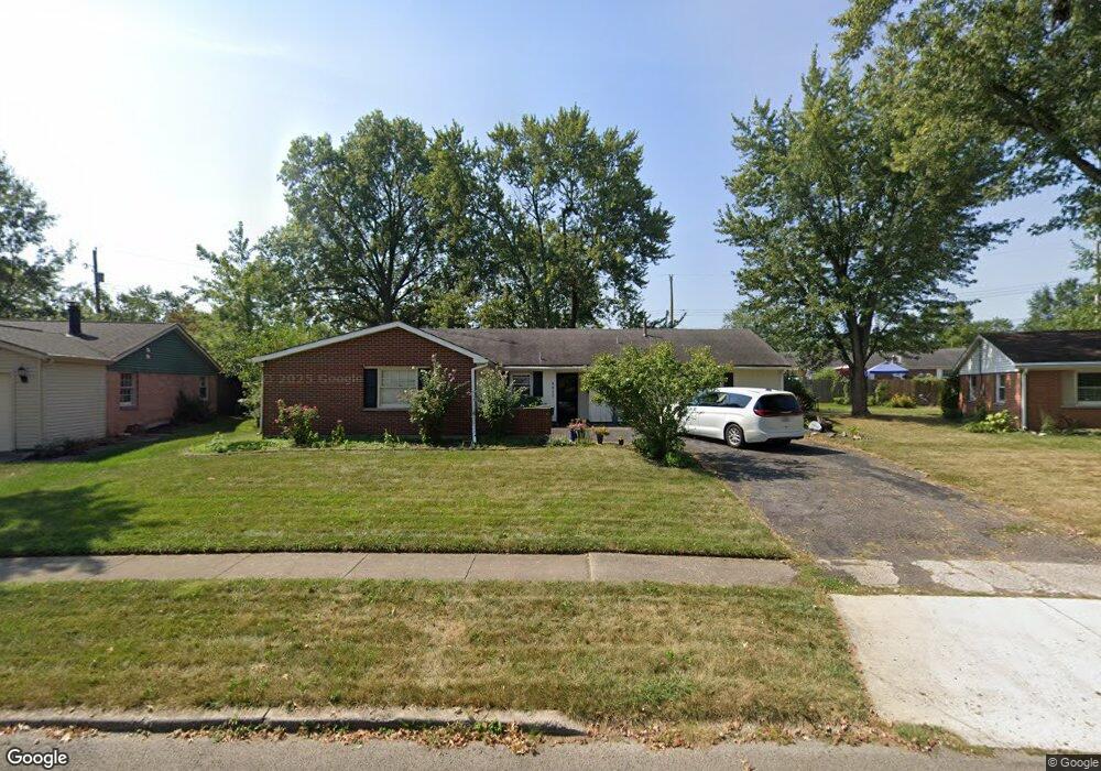
This home is located at 2911 W High St, Lima, OH 45807 and is currently estimated at $201,549, approximately $135 per square foot. 2911 W High St is a home located in Allen County with nearby schools including Maplewood Elementary School, Elmwood Elementary School, and Shawnee Middle School.
Ownership History
Date
Name
Owned For
Owner Type
Purchase Details
Closed on
Dec 19, 2025
Sold by
Mccoy Williams Kelly
Bought by
Uprise Investments Llc
Current Estimated Value
Home Financials for this Owner
Home Financials are based on the most recent Mortgage that was taken out on this home.
Original Mortgage
$118,300
Outstanding Balance
$118,300
Interest Rate
6.24%
Mortgage Type
Construction
Estimated Equity
$83,249
Purchase Details
Closed on
Nov 10, 2025
Sold by
Mccoy Erin T M
Bought by
Williams Kelly Mccoy
Home Financials for this Owner
Home Financials are based on the most recent Mortgage that was taken out on this home.
Original Mortgage
$118,300
Outstanding Balance
$118,300
Interest Rate
6.24%
Mortgage Type
Construction
Estimated Equity
$83,249
Purchase Details
Closed on
Aug 19, 2011
Sold by
Mccoy Beverly O and Mccoy Malcolm D
Bought by
Mccoy Beverly O and Mccoy Malcolm D
Purchase Details
Closed on
Nov 16, 1984
Bought by
Mccoy Beverly O
Create a Home Valuation Report for This Property
The Home Valuation Report is an in-depth analysis detailing your home's value as well as a comparison with similar homes in the area
Purchase History
| Date | Buyer | Sale Price | Title Company |
|---|---|---|---|
| Uprise Investments Llc | $80,000 | World Class Title | |
| Williams Kelly Mccoy | -- | None Listed On Document | |
| Mccoy Beverly O | -- | Attorney | |
| Mccoy Beverly O | $49,500 | -- |
Source: Public Records
Mortgage History
| Date | Status | Borrower | Loan Amount |
|---|---|---|---|
| Open | Uprise Investments Llc | $118,300 |
Source: Public Records
Tax History
| Year | Tax Paid | Tax Assessment Tax Assessment Total Assessment is a certain percentage of the fair market value that is determined by local assessors to be the total taxable value of land and additions on the property. | Land | Improvement |
|---|---|---|---|---|
| 2024 | $1,722 | $48,520 | $7,180 | $41,340 |
| 2023 | $1,388 | $36,760 | $5,430 | $31,330 |
| 2022 | $1,420 | $36,760 | $5,430 | $31,330 |
| 2021 | $1,425 | $36,760 | $5,430 | $31,330 |
| 2020 | $1,160 | $32,350 | $5,500 | $26,850 |
| 2019 | $1,160 | $32,350 | $5,500 | $26,850 |
| 2018 | $659 | $32,350 | $5,500 | $26,850 |
| 2017 | $970 | $27,870 | $5,500 | $22,370 |
| 2016 | $1,125 | $27,870 | $5,500 | $22,370 |
| 2015 | $1,438 | $27,870 | $5,500 | $22,370 |
| 2014 | $1,438 | $30,950 | $5,500 | $25,450 |
| 2013 | $1,163 | $30,950 | $5,500 | $25,450 |
Source: Public Records
Map
Nearby Homes
- 2940 Koop Rd
- N/A Eastown Rd N
- 123 Eagles Point W
- 147 Eagles Point St S
- 3953 Willow Oak Trail
- 2964 Hanover Dr
- 2700 Lowell Ave
- 2921 Canterbury Dr
- 0 Springview Dr
- 2201 W High St
- 2997 Cletus Pkwy
- 1392 Chancellor Dr
- 161 S Cable Rd
- 00 Allentown Rd
- 514 N Cable Rd
- 275 N Dale Dr
- 1641 Whitehall Dr
- 1393 N Stevick Rd
- 4029 Allentown Rd
- 2057 W High St