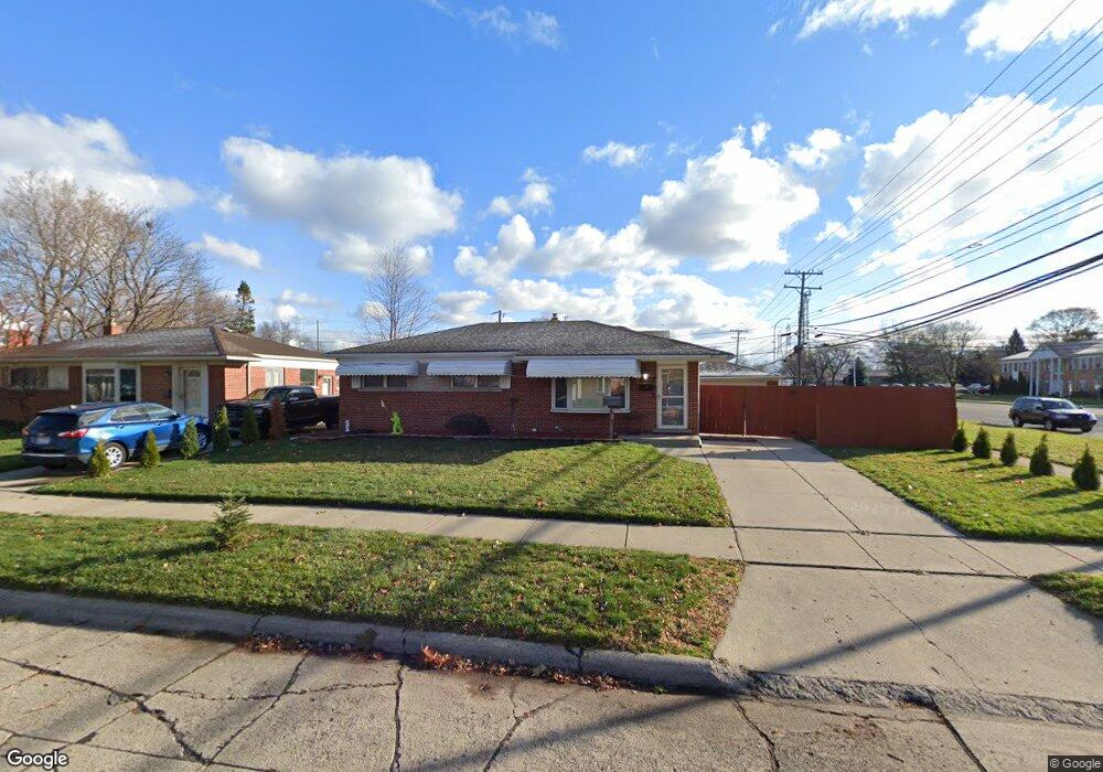
29116 Roan Dr Warren, MI 48093
Northeast Warren NeighborhoodEstimated Value: $221,000 - $251,000
3
Beds
2
Baths
1,093
Sq Ft
$218/Sq Ft
Est. Value
About This Home
This home is located at 29116 Roan Dr, Warren, MI 48093 and is currently estimated at $238,786, approximately $218 per square foot. 29116 Roan Dr is a home located in Macomb County with nearby schools including Warren Woods Tower High School, Frontier International Academy Elementary, and Warren SDA Junior Academy.
Ownership History
Date
Name
Owned For
Owner Type
Purchase Details
Closed on
Nov 14, 2014
Sold by
Powers Kyle P and Powers Kaitlyn
Bought by
Powers Kaitlyn Elizabeth and Powers Kyle Patrick
Current Estimated Value
Home Financials for this Owner
Home Financials are based on the most recent Mortgage that was taken out on this home.
Original Mortgage
$52,820
Interest Rate
3.91%
Mortgage Type
New Conventional
Create a Home Valuation Report for This Property
The Home Valuation Report is an in-depth analysis detailing your home's value as well as a comparison with similar homes in the area
Home Values in the Area
Average Home Value in this Area
Purchase History
| Date | Buyer | Sale Price | Title Company |
|---|---|---|---|
| Powers Kaitlyn Elizabeth | -- | None Available |
Source: Public Records
Mortgage History
| Date | Status | Borrower | Loan Amount |
|---|---|---|---|
| Closed | Powers Kaitlyn Elizabeth | $52,820 |
Source: Public Records
Tax History Compared to Growth
Tax History
| Year | Tax Paid | Tax Assessment Tax Assessment Total Assessment is a certain percentage of the fair market value that is determined by local assessors to be the total taxable value of land and additions on the property. | Land | Improvement |
|---|---|---|---|---|
| 2025 | $3,067 | $112,160 | $0 | $0 |
| 2024 | $2,981 | $101,960 | $0 | $0 |
| 2023 | $2,816 | $98,470 | $0 | $0 |
| 2022 | $2,761 | $85,640 | $0 | $0 |
| 2021 | $2,709 | $78,430 | $0 | $0 |
| 2020 | $2,597 | $74,430 | $0 | $0 |
| 2019 | $2,481 | $71,220 | $0 | $0 |
| 2018 | $2,506 | $61,880 | $0 | $0 |
| 2017 | $2,370 | $55,630 | $11,410 | $44,220 |
| 2016 | $2,351 | $55,630 | $0 | $0 |
| 2015 | -- | $49,000 | $0 | $0 |
| 2012 | -- | $45,350 | $0 | $0 |
Source: Public Records
Map
Nearby Homes
- 29366 Wagner Dr
- 11916 Geoffry Dr
- 28621 Pinto Dr
- 29379 Newport Dr
- 29723 Roan Dr
- 29667 Newport Dr
- 13053 Geoffry Dr
- 29638 Hoover Rd Unit 638
- 29626 Hoover Rd Unit 626
- 29365 Dover Ave
- 29820 Palomino Dr
- 29819 Bonnie Dr
- 28203 Newport Dr
- 11582 Gerald Dr
- 13265 Geoffry Dr
- 11447 Edwin Dr
- 11555 Newbern Dr
- 11511 Gerald Dr
- 11357 Geoffry Dr
- 30154 Pinto Dr
- 29130 Roan Dr
- 1 12 Mile Rd
- 29144 Roan Dr
- 12345 E 12 Mile Rd
- 29158 Roan Dr
- 12342 Geoffry Dr
- 29115 Roan Dr
- 12415 Twelve Mile Rd
- 12292 Twelve Mile Rd
- 29129 Roan Dr
- 29143 Roan Dr
- 29157 Roan Dr
- 12434 E 12 Mile Rd
- 12434 E 12 Mile Rd Unit 101
- 12434 E 12 Mile Rd Unit 202
- 12434 E 12 Mile Rd
- 29206 Roan Dr
- 28961 Roan Dr
- 12366 Geoffry Dr
- 29010 Wagner Dr