2912 Bond Dr Unit 8C Austin, TX 78741
Parker Lane NeighborhoodEstimated Value: $276,000 - $367,000
--
Bed
2
Baths
1,070
Sq Ft
$302/Sq Ft
Est. Value
About This Home
This home is located at 2912 Bond Dr Unit 8C, Austin, TX 78741 and is currently estimated at $322,766, approximately $301 per square foot. 2912 Bond Dr Unit 8C is a home located in Travis County with nearby schools including Linder Elementary School, Harmony School of Innovation - Austin, and Harmony School of Excellence - Austin.
Ownership History
Date
Name
Owned For
Owner Type
Purchase Details
Closed on
Mar 27, 2008
Sold by
Newmark Homes Lp
Bought by
Garcia Antonio C
Current Estimated Value
Create a Home Valuation Report for This Property
The Home Valuation Report is an in-depth analysis detailing your home's value as well as a comparison with similar homes in the area
Home Values in the Area
Average Home Value in this Area
Purchase History
| Date | Buyer | Sale Price | Title Company |
|---|---|---|---|
| Garcia Antonio C | -- | Universal Land Title |
Source: Public Records
Tax History Compared to Growth
Tax History
| Year | Tax Paid | Tax Assessment Tax Assessment Total Assessment is a certain percentage of the fair market value that is determined by local assessors to be the total taxable value of land and additions on the property. | Land | Improvement |
|---|---|---|---|---|
| 2025 | $5,183 | $361,167 | $30,213 | $330,954 |
| 2023 | $4,802 | $345,718 | $0 | $0 |
| 2022 | $7,420 | $375,721 | $18,883 | $356,838 |
| 2021 | $6,269 | $288,006 | $18,883 | $269,123 |
| 2020 | $5,571 | $259,743 | $18,883 | $240,860 |
| 2018 | $5,812 | $262,511 | $18,883 | $243,628 |
| 2017 | $5,430 | $243,483 | $5,924 | $237,559 |
| 2016 | $5,292 | $237,273 | $18,883 | $218,390 |
| 2015 | $4,407 | $196,659 | $19,079 | $177,580 |
| 2014 | $4,407 | $185,177 | $19,079 | $166,098 |
Source: Public Records
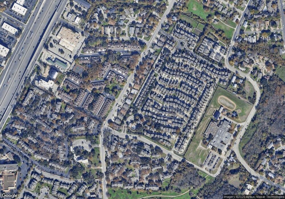
Map
Nearby Homes
- 1900 Teagle Dr
- 1916 Warely Ln
- 2008 Sager Dr Unit 256C
- 1720 Timber Ridge Dr
- 1706 Timber Ridge Dr
- 1740 Timber Ridge Rd Unit 132
- 1730 Timber Ridge Rd Unit 152
- 1710 Timberwood Dr
- 2020 Tripshaw Ln Unit 65C
- 1712 Timber Ridge Rd
- 2624 Metcalfe Rd Unit 2
- 2624 Metcalfe Rd Unit 17
- 1712 Alleghany Dr
- 2001 Iroquois Ln
- 2829 Metcalfe Rd
- 2823 Metcalfe Rd
- 2821 Metcalfe Rd
- 2819 Metcalfe Rd
- 2825 Metcalfe Rd
- 2817 Metcalfe Rd
- 2916 Bond Dr Unit 7C
- 2920 Bond Dr Unit 6C
- 2921 Saville Loop Unit 3C
- 2908 Bond Dr Unit 11C
- 2909 Saville Loop Unit 10C
- 2917 Saville Loop Unit 5C
- 2913 Saville Loop Unit 9C
- 2904 Bond Dr Unit 12C
- 2909 Bond Dr Unit 291
- 2913 Bond Dr Unit 241
- 2917 Bond Dr Unit 243
- 2917 Bond Dr
- 2913 Bond Dr
- 2905 Saville Loop Unit 13C
- 2924 Bond Dr Unit 4C
- 1901 Warely Ln
- 1901 Warely Ln Unit 292
- 2900 Bond Dr Unit 15C
- 2901 Saville Loop Unit 14C
- 2905 Parker Ln