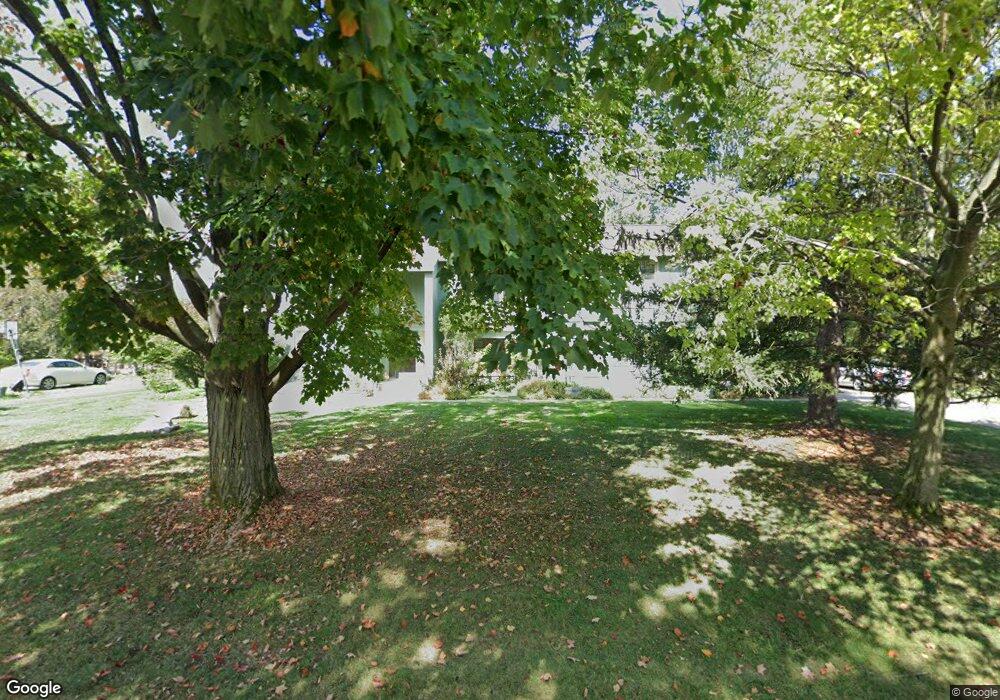
2912 Brentwood Rd West Bloomfield, MI 48323
Estimated Value: $733,000 - $838,000
4
Beds
5
Baths
4,232
Sq Ft
$182/Sq Ft
Est. Value
About This Home
This home is located at 2912 Brentwood Rd, West Bloomfield, MI 48323 and is currently estimated at $768,224, approximately $181 per square foot. 2912 Brentwood Rd is a home located in Oakland County with nearby schools including West Hills Middle School, Bloomfield Hills High School, and Brookfield Academy - West Bloomfield Campus.
Ownership History
Date
Name
Owned For
Owner Type
Purchase Details
Closed on
Sep 1, 2006
Sold by
Katz Jeffrey S
Bought by
Newman Eugene C and Newman Doris N
Current Estimated Value
Create a Home Valuation Report for This Property
The Home Valuation Report is an in-depth analysis detailing your home's value as well as a comparison with similar homes in the area
Home Values in the Area
Average Home Value in this Area
Purchase History
| Date | Buyer | Sale Price | Title Company |
|---|---|---|---|
| Newman Eugene C | $471,500 | Devon Title Agency |
Source: Public Records
Tax History Compared to Growth
Tax History
| Year | Tax Paid | Tax Assessment Tax Assessment Total Assessment is a certain percentage of the fair market value that is determined by local assessors to be the total taxable value of land and additions on the property. | Land | Improvement |
|---|---|---|---|---|
| 2024 | $4,172 | $294,520 | $0 | $0 |
| 2022 | $4,037 | $252,840 | $40,000 | $212,840 |
| 2021 | $7,456 | $243,620 | $0 | $0 |
| 2020 | $3,693 | $257,980 | $40,000 | $217,980 |
| 2018 | $7,007 | $241,120 | $26,450 | $214,670 |
| 2015 | -- | $207,810 | $0 | $0 |
| 2014 | -- | $190,140 | $0 | $0 |
| 2011 | -- | $165,890 | $0 | $0 |
Source: Public Records
Map
Nearby Homes
- 4274 Wendell Rd
- 0 Wendell Rd Unit 20250033815
- 2460 Turner St
- 3142 Bloomfield Shore Dr
- 3367 Lone Pine Rd
- 3075 Bloomfield Park Dr
- 4641 Cove Rd
- 2943 Moon Lake Dr Unit 52
- 0000 Middlebelt Rd
- 4670 Cove Rd
- 4710 Cove Rd
- 4182 Prescott Park Cir
- 4174 Prescott Park Cir
- 4170 Prescott Park Cir
- 4568 Rolling Ridge Rd
- 4941 Fairway Ridge Cir
- 3930 Maple Hill W
- 4033 Fox Lake Dr
- 4724 Tara Ct
- 4768 Wendrick Dr
- 2930 Brentwood Rd
- 2929 Brentwood Rd
- 2915 Brentwood Rd
- 2954 Brentwood Rd
- 4206 Stoddard Rd
- 2943 Brentwood Rd
- 2986 Brentwood Rd
- 2901 Brentwood Rd
- 2957 Brentwood Rd Unit Bldg-Unit
- 2957 Brentwood Rd
- 4189 Stoddard Rd
- 3014 Brentwood Rd
- 3014 Brentwood Rd Unit 12
- 2987 Brentwood Rd
- 4235 Stoddard Rd
- 2989 Brentwood Rd
- 2991 Brentwood Rd
- 2993 Brentwood Rd
- 2971 Brentwood Rd
- 2995 Brentwood Rd