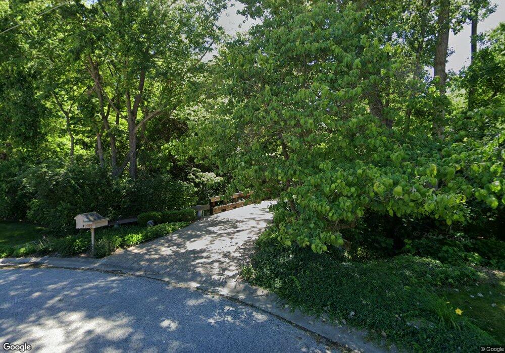
2912 Carnoustie Ln Quincy, IL 62301
Estimated Value: $304,000 - $1,160,401
--
Bed
--
Bath
--
Sq Ft
3.55
Acres
About This Home
This home is located at 2912 Carnoustie Ln, Quincy, IL 62301 and is currently estimated at $771,134. 2912 Carnoustie Ln is a home located in Adams County with nearby schools including Denman Elementary School, Quincy Junior High School, and Quincy Senior High School.
Ownership History
Date
Name
Owned For
Owner Type
Purchase Details
Closed on
Feb 17, 2021
Sold by
Marita Harold W Knapheide Gst Non-Exempt
Bought by
Ann W Knapheide Revocable Trust
Current Estimated Value
Purchase Details
Closed on
Feb 4, 2021
Sold by
Knapheide Iii Harold W
Bought by
Harold W Knapheide Iii Trust
Create a Home Valuation Report for This Property
The Home Valuation Report is an in-depth analysis detailing your home's value as well as a comparison with similar homes in the area
Home Values in the Area
Average Home Value in this Area
Purchase History
| Date | Buyer | Sale Price | Title Company |
|---|---|---|---|
| Ann W Knapheide Revocable Trust | -- | Schmiedeskamp Robertson Neu & | |
| Harold W Kanpheide Gst Non-Exempt Marital Tru | -- | Schmiedeskamp Robertson Neu & | |
| Harold W Knapheide Iii Trust | -- | Schmiedeskamp Robertson Neu & |
Source: Public Records
Tax History Compared to Growth
Tax History
| Year | Tax Paid | Tax Assessment Tax Assessment Total Assessment is a certain percentage of the fair market value that is determined by local assessors to be the total taxable value of land and additions on the property. | Land | Improvement |
|---|---|---|---|---|
| 2024 | $21,121 | $329,910 | $50,550 | $279,360 |
| 2023 | $19,852 | $306,070 | $46,900 | $259,170 |
| 2022 | $18,748 | $285,780 | $43,790 | $241,990 |
| 2021 | $18,884 | $280,040 | $42,910 | $237,130 |
| 2020 | $18,518 | $274,570 | $42,070 | $232,500 |
| 2019 | $18,164 | $271,610 | $41,620 | $229,990 |
| 2018 | $18,012 | $266,310 | $32,030 | $234,280 |
| 2017 | $17,559 | $263,670 | $31,710 | $231,960 |
| 2016 | $17,229 | $252,940 | $30,420 | $222,520 |
| 2015 | $1,652,468 | $252,940 | $30,420 | $222,520 |
| 2012 | $16,525 | $244,490 | $29,410 | $215,080 |
Source: Public Records
Map
Nearby Homes
- 1028 S 30th St
- 1020 S 30th St
- 1100 S 30th St
- 2903 Cabot Rd
- 2915 Cabot Rd
- 1014 S 30th St
- 2907 Carnoustie Ln
- 2839 Cabot Rd
- 2834 Carnoustie Ln
- 2927 Cabot Rd
- 1023 S 30th St
- 3021 Evangeline Rd
- 2835 Cabot Rd
- 2835 Carnoustie Ln
- 2824 Carnoustie Ln
- 3001 Cabot Rd
- 2906 Cabot Rd
- 2918 Cabot Rd
- 3032 Evangeline Rd
- 2829 Cabot Rd