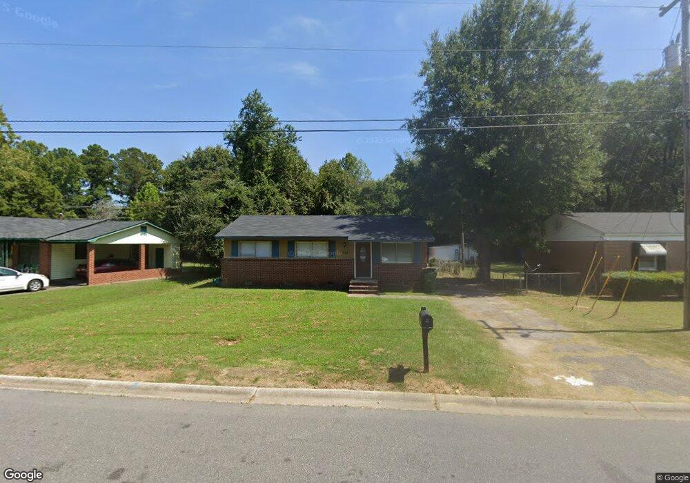
2912 Dell Dr Columbia, SC 29209
Southeast Columbia NeighborhoodEstimated Value: $87,000 - $140,000
3
Beds
1
Bath
1,100
Sq Ft
$108/Sq Ft
Est. Value
About This Home
This home is located at 2912 Dell Dr, Columbia, SC 29209 and is currently estimated at $118,791, approximately $107 per square foot. 2912 Dell Dr is a home located in Richland County with nearby schools including Meadowfield Elementary School, Hand Middle School, and Dreher High School.
Ownership History
Date
Name
Owned For
Owner Type
Purchase Details
Closed on
May 25, 2016
Sold by
Federal Home Loan Mortgage Corporation
Bought by
Turnipseed Reginald
Current Estimated Value
Purchase Details
Closed on
Aug 7, 2014
Sold by
Richland County
Bought by
Federal Home Loan Mortgage Corporatio
Purchase Details
Closed on
Aug 11, 2004
Sold by
Johnson Frank M and Johnson Harriet
Bought by
Dickerson Trent and Dickerson Michelle
Home Financials for this Owner
Home Financials are based on the most recent Mortgage that was taken out on this home.
Original Mortgage
$55,900
Interest Rate
9.4%
Mortgage Type
Purchase Money Mortgage
Purchase Details
Closed on
Sep 13, 2002
Sold by
Johnson Frank M
Bought by
Johnson Harriet
Purchase Details
Closed on
Feb 11, 2002
Sold by
Patten Katrice C
Bought by
Bankers Trust Company Of California Na
Create a Home Valuation Report for This Property
The Home Valuation Report is an in-depth analysis detailing your home's value as well as a comparison with similar homes in the area
Home Values in the Area
Average Home Value in this Area
Purchase History
| Date | Buyer | Sale Price | Title Company |
|---|---|---|---|
| Turnipseed Reginald | $13,500 | None Available | |
| Federal Home Loan Mortgage Corporatio | -- | -- | |
| Dickerson Trent | $55,900 | -- | |
| Johnson Harriet | -- | -- | |
| Johnson Frank M | $33,000 | -- | |
| The Provident Bank | -- | -- | |
| Bankers Trust Company Of California Na | $31,000 | -- |
Source: Public Records
Mortgage History
| Date | Status | Borrower | Loan Amount |
|---|---|---|---|
| Previous Owner | Dickerson Trent | $55,900 |
Source: Public Records
Tax History Compared to Growth
Tax History
| Year | Tax Paid | Tax Assessment Tax Assessment Total Assessment is a certain percentage of the fair market value that is determined by local assessors to be the total taxable value of land and additions on the property. | Land | Improvement |
|---|---|---|---|---|
| 2024 | $1,158 | $30,500 | $0 | $0 |
| 2023 | $1,158 | $1,064 | $0 | $0 |
| 2022 | $1,064 | $26,600 | $4,300 | $22,300 |
| 2021 | $1,042 | $1,600 | $0 | $0 |
| 2020 | $1,046 | $1,600 | $0 | $0 |
| 2019 | $1,013 | $1,600 | $0 | $0 |
| 2018 | $887 | $1,390 | $0 | $0 |
| 2017 | $867 | $1,390 | $0 | $0 |
| 2016 | $855 | $1,390 | $0 | $0 |
| 2015 | $846 | $1,390 | $0 | $0 |
| 2014 | $397 | $23,100 | $0 | $0 |
| 2013 | -- | $920 | $0 | $0 |
Source: Public Records
Map
Nearby Homes
- 4604 Sheraton Rd
- 2951 Dell Dr
- 4656 Bluff Rd
- 4520 Bluff Rd
- 2956 Dell Dr
- 4225 Camino Ct
- 10 Reeder Point Dr
- 2520 Marathon Dr
- 4013 Tavineer Dr
- 2729 Harlem St
- 2808 Atlas Rd
- 3937 Bluff Rd
- 3937 Bluff Rd
- 1320 Poinsett Loop
- 2701 Harlem St
- 1208 Pineview Dr
- 1920 Harlem St
- 5552 Bluff Rd
- 1284 Rockwood Rd
- 1040 Coatesdale Rd