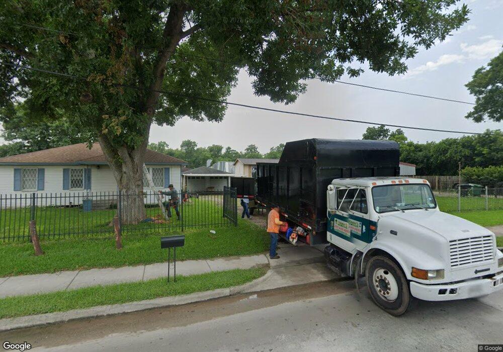
2912 Parker Rd Houston, TX 77093
Eastex-Jensen NeighborhoodEstimated Value: $275,000 - $404,095
3
Beds
2
Baths
1,472
Sq Ft
$232/Sq Ft
Est. Value
About This Home
This home is located at 2912 Parker Rd, Houston, TX 77093 and is currently estimated at $341,365, approximately $231 per square foot. 2912 Parker Rd is a home located in Harris County with nearby schools including Coop Elementary School, Patrick Henry Middle School, and Sam Houston Math, Science & Technology Center.
Ownership History
Date
Name
Owned For
Owner Type
Purchase Details
Closed on
Jan 6, 2005
Sold by
Castaneda Aurelio and Castaneda Maria I
Bought by
Avellaneda Gabriela
Current Estimated Value
Home Financials for this Owner
Home Financials are based on the most recent Mortgage that was taken out on this home.
Original Mortgage
$104,900
Outstanding Balance
$53,137
Interest Rate
5.8%
Mortgage Type
Purchase Money Mortgage
Estimated Equity
$288,228
Create a Home Valuation Report for This Property
The Home Valuation Report is an in-depth analysis detailing your home's value as well as a comparison with similar homes in the area
Home Values in the Area
Average Home Value in this Area
Purchase History
| Date | Buyer | Sale Price | Title Company |
|---|---|---|---|
| Avellaneda Gabriela | -- | Stewart Title Houston Div |
Source: Public Records
Mortgage History
| Date | Status | Borrower | Loan Amount |
|---|---|---|---|
| Open | Avellaneda Gabriela | $104,900 |
Source: Public Records
Tax History Compared to Growth
Tax History
| Year | Tax Paid | Tax Assessment Tax Assessment Total Assessment is a certain percentage of the fair market value that is determined by local assessors to be the total taxable value of land and additions on the property. | Land | Improvement |
|---|---|---|---|---|
| 2025 | $9,123 | $416,962 | $283,500 | $133,462 |
| 2024 | $9,123 | $416,118 | $283,500 | $132,618 |
| 2023 | $9,123 | $412,848 | $283,500 | $129,348 |
| 2022 | $4,524 | $205,477 | $94,500 | $110,977 |
| 2021 | $4,311 | $184,981 | $94,500 | $90,481 |
| 2020 | $4,563 | $188,417 | $94,500 | $93,917 |
| 2019 | $4,862 | $192,151 | $94,500 | $97,651 |
| 2018 | $3,142 | $124,178 | $36,750 | $87,428 |
| 2017 | $3,140 | $124,178 | $36,750 | $87,428 |
| 2016 | $3,140 | $124,178 | $36,750 | $87,428 |
| 2015 | $3,225 | $125,473 | $32,156 | $93,317 |
| 2014 | $3,225 | $125,473 | $32,156 | $93,317 |
Source: Public Records
Map
Nearby Homes
- 2633 Hollis St
- 3202 Parker Rd
- 2318 Cresline St
- 2415 Goodloe St
- 3709 Gager St
- 2332 Margaret St
- 3302 Sparks St
- 2919 La Estancia Ln
- 4918 Langley Rd
- 2315 Langley Rd
- 3614 Tidwell Rd
- 3110 Tidwell Rd
- 3807 Hage St
- 3806 Hage St
- 1728 Little York Rd
- 1904 Little York Rd
- 9634 Burden St
- 9630 Burden St
- 0.0 Friendly Rd
- 3809 Turner Dr
- 2902 Parker Rd
- 2902 Parker Rd Unit B
- 3100 Parker Rd
- 2726 Parker Rd
- 2722 Parker Rd
- 2722 Parker Rd Unit 1
- 2722 Parker Rd Unit 3
- 2722 Parker Rd Unit 2
- 2720 Parker Rd
- 2718 Parker Rd
- 10024 Shady Ln
- 3116 Parker Rd
- 2706 Parker Rd
- 10040 Shady Ln
- 10036 Shady Ln
- 0 Bennington Unit 64677349
- 0 E Hardy Toll Rd Unit 93103718
- 0 Bostic St Unit 6369647
- 0 Bostic St Unit 62432707
- 0 Bostic St Unit 5368449
