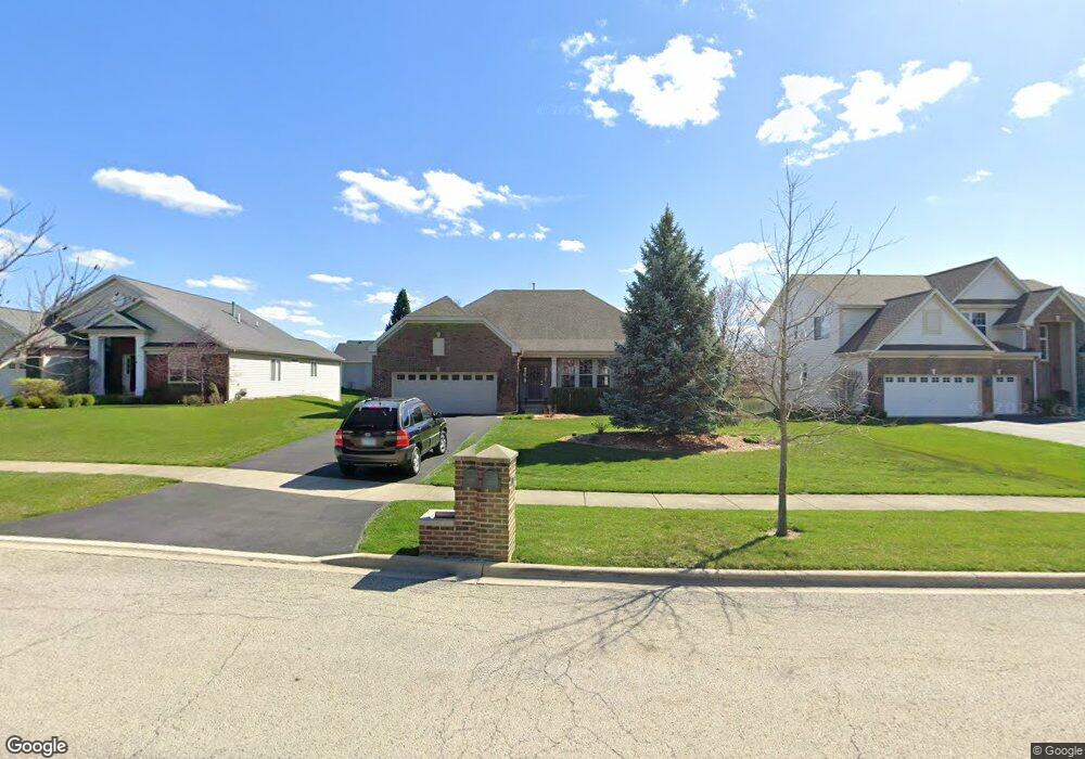
2912 Sauer Ct North Aurora, IL 60542
Nelson Lake NeighborhoodEstimated Value: $514,954 - $558,000
3
Beds
2
Baths
2,453
Sq Ft
$219/Sq Ft
Est. Value
About This Home
This home is located at 2912 Sauer Ct, North Aurora, IL 60542 and is currently estimated at $536,989, approximately $218 per square foot. 2912 Sauer Ct is a home located in Kane County with nearby schools including Fearn Elementary School, Herget Middle School, and West Aurora High School.
Ownership History
Date
Name
Owned For
Owner Type
Purchase Details
Closed on
Feb 23, 2022
Sold by
Carolyn Ackerman J and Carolyn Sandy
Bought by
J Robert Ackerman And Carolyn Ackerman Trust and Ackerman
Current Estimated Value
Purchase Details
Closed on
Dec 6, 2017
Sold by
Ackerman Carolyd
Bought by
Ackerman Robert J and Ackerman Carolyn
Purchase Details
Closed on
Nov 8, 2010
Sold by
Ackerman J Robert and Ackerman Carolyn
Bought by
Ackerman Carolyn
Purchase Details
Closed on
Dec 29, 2005
Sold by
Remington Landing Llc
Bought by
Ackerman J Robert and Ackerman Carolyn
Home Financials for this Owner
Home Financials are based on the most recent Mortgage that was taken out on this home.
Original Mortgage
$70,000
Interest Rate
6.4%
Mortgage Type
Fannie Mae Freddie Mac
Create a Home Valuation Report for This Property
The Home Valuation Report is an in-depth analysis detailing your home's value as well as a comparison with similar homes in the area
Home Values in the Area
Average Home Value in this Area
Purchase History
| Date | Buyer | Sale Price | Title Company |
|---|---|---|---|
| J Robert Ackerman And Carolyn Ackerman Trust | -- | None Listed On Document | |
| Ackerman Robert J | -- | None Available | |
| Ackerman Carolyn | -- | None Available | |
| Ackerman J Robert | $422,000 | Chicago Title Insurance Comp |
Source: Public Records
Mortgage History
| Date | Status | Borrower | Loan Amount |
|---|---|---|---|
| Previous Owner | Ackerman J Robert | $70,000 |
Source: Public Records
Tax History Compared to Growth
Tax History
| Year | Tax Paid | Tax Assessment Tax Assessment Total Assessment is a certain percentage of the fair market value that is determined by local assessors to be the total taxable value of land and additions on the property. | Land | Improvement |
|---|---|---|---|---|
| 2024 | $11,133 | $161,074 | $14,860 | $146,214 |
| 2023 | $10,745 | $145,374 | $13,412 | $131,962 |
| 2022 | $10,012 | $129,637 | $12,309 | $117,328 |
| 2021 | $9,812 | $124,078 | $11,781 | $112,297 |
| 2020 | $9,727 | $121,170 | $11,505 | $109,665 |
| 2019 | $10,043 | $119,391 | $11,336 | $108,055 |
| 2018 | $10,270 | $118,312 | $11,336 | $106,976 |
| 2017 | $10,431 | $116,967 | $11,207 | $105,760 |
| 2016 | $10,833 | $117,879 | $10,911 | $106,968 |
| 2015 | -- | $114,505 | $10,485 | $104,020 |
| 2014 | -- | $107,443 | $11,666 | $95,777 |
| 2013 | -- | $107,443 | $11,666 | $95,777 |
Source: Public Records
Map
Nearby Homes
- 2772 Berman Rd Unit 1A
- 483 Glover Dr
- 512 Bennett Dr
- 965 Carmen Rd
- 2045 Bartram Rd
- 921 N Deerpath Rd
- 868 Fair Meadow Ct
- 876 Fair Meadow Ct
- 916 Fair Meadow St
- 1303 Dorr Dr
- 867 Fair Meadow Ct
- 875 Fair Meadow Ct
- 909 Fair Meadow St
- 917 Fair Meadow St
- Maxfield Plan at Autumn Ridge
- Morgan Plan at Autumn Ridge
- Newbury Plan at Autumn Ridge
- Quinn Plan at Autumn Ridge
- Paxton Plan at Autumn Ridge
- Leyden Plan at Autumn Ridge