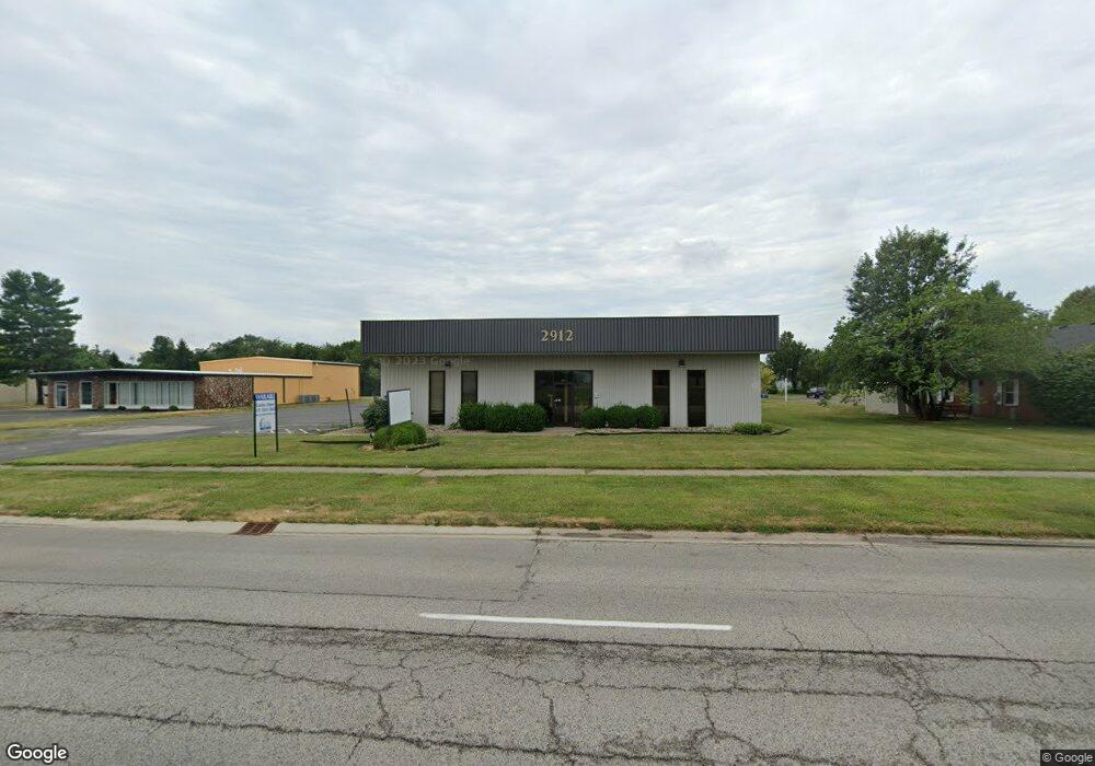
2912 Stanton St Unit B Springfield, IL 62703
Estimated Value: $195,760
Studio
--
Bath
1,600
Sq Ft
$122/Sq Ft
Est. Value
About This Home
This home is located at 2912 Stanton St Unit B, Springfield, IL 62703 and is currently priced at $195,760, approximately $122 per square foot. 2912 Stanton St Unit B is a home located in Sangamon County with nearby schools including Hazel Dell Elementary School, Jefferson Middle School, and Springfield Southeast High School.
Ownership History
Date
Name
Owned For
Owner Type
Purchase Details
Closed on
Jul 29, 2025
Sold by
Dixon Properties Llc
Bought by
Etpe Llc
Current Estimated Value
Purchase Details
Closed on
Dec 31, 2010
Purchase Details
Closed on
Aug 25, 2005
Purchase Details
Closed on
Jun 30, 2000
Purchase Details
Closed on
Jul 31, 1998
Create a Home Valuation Report for This Property
The Home Valuation Report is an in-depth analysis detailing your home's value as well as a comparison with similar homes in the area
Purchase History
| Date | Buyer | Sale Price | Title Company |
|---|---|---|---|
| Etpe Llc | $150,000 | Allied Capital Title | |
| -- | -- | -- | |
| -- | $232,000 | -- | |
| -- | $270,000 | -- | |
| -- | -- | -- |
Source: Public Records
Tax History
| Year | Tax Paid | Tax Assessment Tax Assessment Total Assessment is a certain percentage of the fair market value that is determined by local assessors to be the total taxable value of land and additions on the property. | Land | Improvement |
|---|---|---|---|---|
| 2024 | $10,057 | $119,731 | $25,533 | $94,198 |
| 2023 | $9,669 | $109,363 | $23,322 | $86,041 |
| 2022 | $9,296 | $103,740 | $22,123 | $81,617 |
| 2021 | $8,988 | $99,856 | $21,295 | $78,561 |
| 2020 | $8,809 | $100,006 | $21,327 | $78,679 |
| 2019 | $8,646 | $99,658 | $21,253 | $78,405 |
| 2018 | $9,250 | $109,479 | $21,212 | $88,267 |
| 2017 | $9,059 | $108,064 | $20,938 | $87,126 |
| 2016 | $8,881 | $106,488 | $20,633 | $85,855 |
| 2015 | $8,795 | $105,215 | $20,386 | $84,829 |
| 2014 | $8,663 | $104,535 | $20,254 | $84,281 |
| 2013 | $8,470 | $104,535 | $20,254 | $84,281 |
Source: Public Records
Map
Nearby Homes
- 2800 Via Rosso St Unit 135
- 2875 Taylor Ave
- 2420 Mayfair Rd
- 2906 Taylor Ave Unit 11
- 3100 Butler St Unit 1833
- 2632 Steiler Place
- 2828 S Hoover Ave
- 1800 E Stanford Ave Unit 1
- 2800 S Woodward St
- 6 Ridge Ct Unit 1
- 3301 Stanton St Unit 1
- Lot 1 & 2 Bunn Dr
- 2827 S 16th St
- 1527 Chalmers St Unit 1
- 3518 Sheffield Rd Unit 1
- 3120 S 13th St
- 2616 Kent Dr
- 2942 S 11th St
- 3719 E Hooker St Unit 1
- 2176 S Martin Luther King Junior Dr
- 2924 Stanton St
- 2900 Stanton St
- 2911 Stanton St
- 2901 Stanton St
- 2951 Normandy Rd
- 2869 S Via Verde St
- 2867 York Rd
- 2840 York Rd
- 2943 Normandy Rd
- 2859 York Rd
- 2865 S Via Verde St
- 2955 Normandy Rd
- 2851 York Rd
- 2942 Normandy Rd
- 2409 Ladley Ct
- 2413 Ladley Ct
- 2939 Normandy Rd
- 2830 York Rd
- 0 S Via Verde St
- 2963 Normandy Rd
Your Personal Tour Guide
Ask me questions while you tour the home.