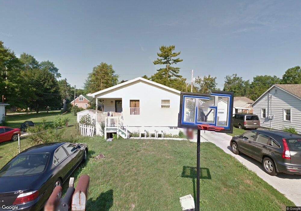
2913 Alfred Ave Lansing, MI 48906
Northwestside NeighborhoodEstimated Value: $142,000 - $164,000
3
Beds
1
Bath
1,124
Sq Ft
$138/Sq Ft
Est. Value
About This Home
This home is located at 2913 Alfred Ave, Lansing, MI 48906 and is currently estimated at $155,107, approximately $137 per square foot. 2913 Alfred Ave is a home located in Ingham County with nearby schools including Cumberland Elementary School, Pattengill Academy, and J.W. Sexton High School.
Ownership History
Date
Name
Owned For
Owner Type
Purchase Details
Closed on
Apr 29, 2004
Sold by
Habitat For Humanity Lansing
Bought by
Sheikh Abdullahi and Abukar Malele
Current Estimated Value
Home Financials for this Owner
Home Financials are based on the most recent Mortgage that was taken out on this home.
Original Mortgage
$100,000
Outstanding Balance
$36,054
Interest Rate
5.91%
Mortgage Type
Purchase Money Mortgage
Estimated Equity
$119,053
Purchase Details
Closed on
Nov 14, 2002
Sold by
Ward Kenneth L
Bought by
Habitat For Humanity/Lansing
Create a Home Valuation Report for This Property
The Home Valuation Report is an in-depth analysis detailing your home's value as well as a comparison with similar homes in the area
Home Values in the Area
Average Home Value in this Area
Purchase History
| Date | Buyer | Sale Price | Title Company |
|---|---|---|---|
| Sheikh Abdullahi | $100,000 | Transnation Title | |
| Habitat For Humanity/Lansing | -- | Transnation Title |
Source: Public Records
Mortgage History
| Date | Status | Borrower | Loan Amount |
|---|---|---|---|
| Open | Sheikh Abdullahi | $100,000 |
Source: Public Records
Tax History Compared to Growth
Tax History
| Year | Tax Paid | Tax Assessment Tax Assessment Total Assessment is a certain percentage of the fair market value that is determined by local assessors to be the total taxable value of land and additions on the property. | Land | Improvement |
|---|---|---|---|---|
| 2025 | $3,084 | $67,300 | $7,600 | $59,700 |
| 2024 | $24 | $66,700 | $7,600 | $59,100 |
| 2023 | $2,892 | $59,000 | $7,600 | $51,400 |
| 2022 | $2,607 | $52,500 | $7,600 | $44,900 |
| 2021 | $2,553 | $51,900 | $6,300 | $45,600 |
| 2020 | $2,537 | $50,600 | $6,300 | $44,300 |
| 2019 | $2,432 | $47,900 | $6,300 | $41,600 |
| 2018 | $2,279 | $44,600 | $6,300 | $38,300 |
| 2017 | $2,182 | $44,600 | $6,300 | $38,300 |
| 2016 | $2,087 | $40,900 | $6,300 | $34,600 |
| 2015 | $2,087 | $38,500 | $12,686 | $25,814 |
| 2014 | $2,087 | $37,000 | $13,447 | $23,553 |
Source: Public Records
Map
Nearby Homes
- 2519 Byrnes Rd
- 3230 Sheffer Ave
- 2524 Newport Dr
- 2601 Newport Dr
- 4221 N Grand River Ave
- 3500 Colchester Rd
- 2300 Byrnes Rd
- 2206 Kuerbitz Dr
- 4005 N Grand River Ave
- 2400 Leon Ave
- 3733 Colchester Rd
- 2123 Cogswell Dr
- 2316 Barstow Rd
- 2220 Delta River Dr
- 2111 Delta River Dr
- 2241 Cumberland Rd
- 1805 Boynton Dr
- 1900 Kaplan St
- 5250 N Grand River Ave
- 3502 Springbrook Ln
- 2917 Alfred Ave
- 3304 Lafayette Ave
- 2921 Alfred Ave
- 2916 Young Ave
- 2920 Young Ave
- 2912 Alfred Ave
- 3312 Lafayette Ave
- 2908 Alfred Ave
- 2920 Alfred Ave
- 3212 Lafayette Ave
- 2928 Young Ave
- 2926 Alfred Ave
- 2815 Alfred Ave
- 3000 Alfred Ave
- 3006 Young Ave
- 2814 Alfred Ave
- 2917 Andrew Ave
- 2913 Andrew Ave
- 3317 Lafayette Ave