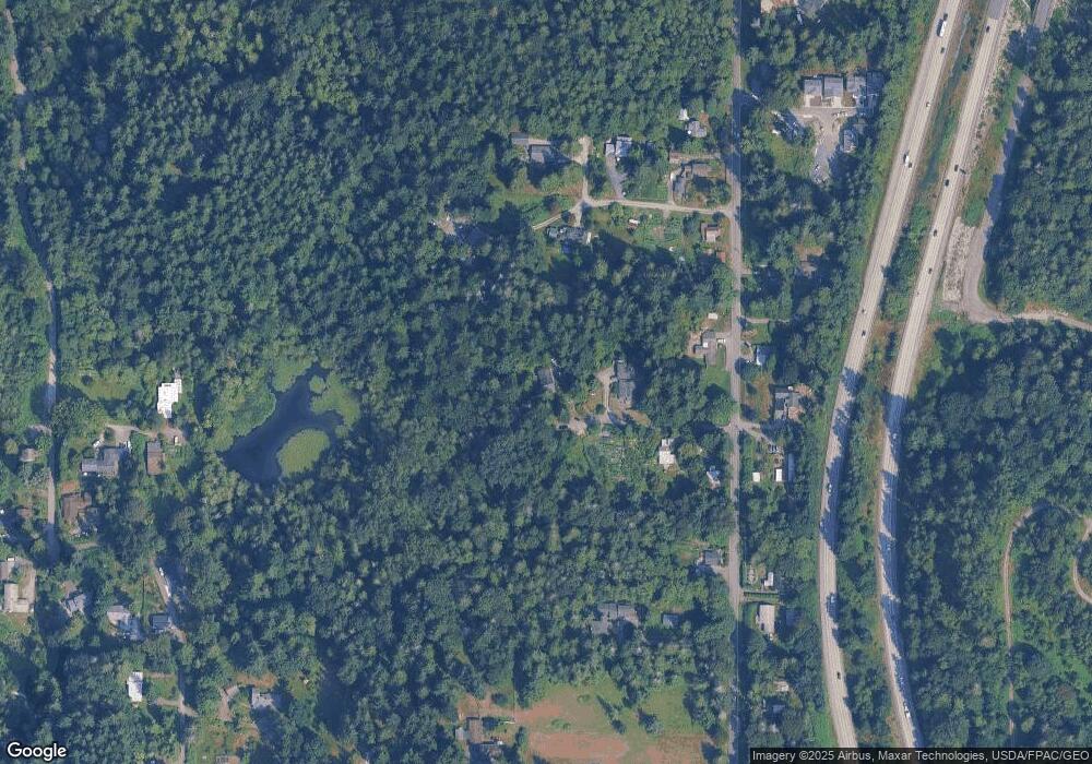
2913 Broad St Bellingham, WA 98225
South Bellingham NeighborhoodEstimated Value: $750,000 - $905,000
2
Beds
2
Baths
1,579
Sq Ft
$533/Sq Ft
Est. Value
About This Home
This home is located at 2913 Broad St, Bellingham, WA 98225 and is currently estimated at $841,127, approximately $532 per square foot. 2913 Broad St is a home located in Whatcom County with nearby schools including Happy Valley Elementary School, Fairhaven Middle School, and Sehome High School.
Ownership History
Date
Name
Owned For
Owner Type
Purchase Details
Closed on
Oct 3, 2005
Sold by
Leone Marjorie Ann
Bought by
Miller Brian Harold and Leone Marjorie Ann
Current Estimated Value
Home Financials for this Owner
Home Financials are based on the most recent Mortgage that was taken out on this home.
Original Mortgage
$102,650
Interest Rate
5.67%
Mortgage Type
Fannie Mae Freddie Mac
Create a Home Valuation Report for This Property
The Home Valuation Report is an in-depth analysis detailing your home's value as well as a comparison with similar homes in the area
Home Values in the Area
Average Home Value in this Area
Purchase History
| Date | Buyer | Sale Price | Title Company |
|---|---|---|---|
| Miller Brian Harold | -- | Chicago Title Insurance |
Source: Public Records
Mortgage History
| Date | Status | Borrower | Loan Amount |
|---|---|---|---|
| Closed | Miller Brian Harold | $102,650 |
Source: Public Records
Tax History Compared to Growth
Tax History
| Year | Tax Paid | Tax Assessment Tax Assessment Total Assessment is a certain percentage of the fair market value that is determined by local assessors to be the total taxable value of land and additions on the property. | Land | Improvement |
|---|---|---|---|---|
| 2024 | $5,884 | $750,657 | $379,881 | $370,776 |
| 2023 | $5,884 | $750,657 | $379,881 | $370,776 |
| 2022 | $4,434 | $543,942 | $275,270 | $268,672 |
| 2021 | $4,071 | $472,993 | $239,365 | $233,628 |
| 2020 | $4,214 | $400,842 | $202,852 | $197,990 |
| 2019 | $3,352 | $400,842 | $202,852 | $197,990 |
| 2018 | $3,428 | $319,340 | $158,210 | $161,130 |
| 2017 | $3,113 | $280,372 | $138,904 | $141,468 |
| 2016 | $2,910 | $265,668 | $131,619 | $134,049 |
| 2015 | $2,890 | $258,560 | $128,098 | $130,462 |
| 2014 | -- | $248,512 | $123,120 | $125,392 |
| 2013 | -- | $245,081 | $121,420 | $123,661 |
Source: Public Records
Map
Nearby Homes
- 2815 Willis St
- 3204 30th St
- 2015 24th St Unit 31
- 2100 Lindsay Ave
- 1758 Old Samish Rd
- 697 Chuckanut Dr N
- 671 Chuckanut Dr N
- 3104 Wilson Ave
- 2694 Donovan Ave Unit 32
- 2400 Donovan Ave Unit 13
- 2500 Samish Way Unit 50
- 2500 Samish Way Unit 13
- 1615 Samish Way
- 2608 S 42nd St
- 2604 S 42nd St
- 2600 42nd
- 1697 Chuckanut Crest Dr
- 1902 Wilson Ave
- 2600 16th St
- 425 Chuckanut Dr N Unit 5
- 2917 Broad St
- 2804 Willis St
- 2824 Willis St
- 2910 Broad St
- 2510 30th St
- 2905 Willis St
- 2500 30th St
- 2412 30th St
- 3111 Broad St
- 2514 30th St
- 2702 30th St
- 2700 30th St
- 0 Star St Unit NWM2020221
- 0 Star St Unit 1974851
- 0 Star St Unit 25 1902708
- 0 Star St Unit 25 1852789
- 0 Star St Unit 25 1827228
- 0 Star St Unit 25 1805264
- 0 Star St Unit 1779006
- 0 Star St Unit 25 1669373
