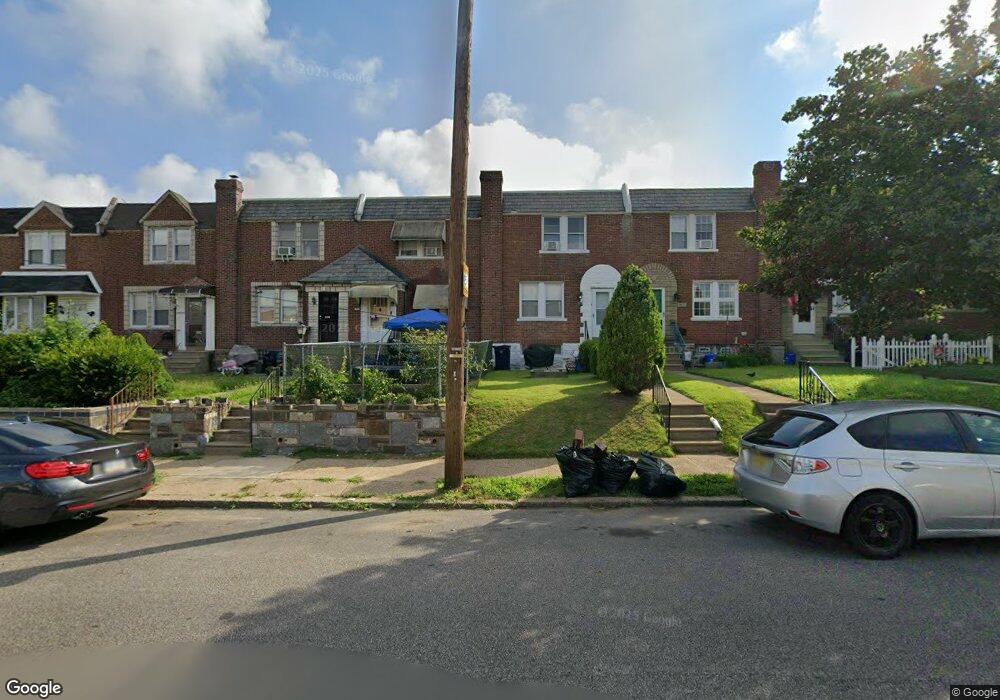
2913 Knorr St Philadelphia, PA 19149
Mayfair NeighborhoodEstimated Value: $246,017 - $266,000
3
Beds
1
Bath
1,168
Sq Ft
$222/Sq Ft
Est. Value
About This Home
This home is located at 2913 Knorr St, Philadelphia, PA 19149 and is currently estimated at $259,254, approximately $221 per square foot. 2913 Knorr St is a home located in Philadelphia County with nearby schools including Lincoln High School, Mayfair Elementary School, and Blessed Trinity Regional Catholic School.
Ownership History
Date
Name
Owned For
Owner Type
Purchase Details
Closed on
Oct 16, 2000
Sold by
Ennis James H and Estate Of Ida Cullen
Bought by
Slifer George B and Slifer Lisa
Current Estimated Value
Home Financials for this Owner
Home Financials are based on the most recent Mortgage that was taken out on this home.
Original Mortgage
$49,800
Interest Rate
7.88%
Mortgage Type
Balloon
Create a Home Valuation Report for This Property
The Home Valuation Report is an in-depth analysis detailing your home's value as well as a comparison with similar homes in the area
Home Values in the Area
Average Home Value in this Area
Purchase History
| Date | Buyer | Sale Price | Title Company |
|---|---|---|---|
| Slifer George B | $62,250 | Lawyers Title Insurance Co |
Source: Public Records
Mortgage History
| Date | Status | Borrower | Loan Amount |
|---|---|---|---|
| Closed | Slifer George B | $49,800 |
Source: Public Records
Tax History Compared to Growth
Tax History
| Year | Tax Paid | Tax Assessment Tax Assessment Total Assessment is a certain percentage of the fair market value that is determined by local assessors to be the total taxable value of land and additions on the property. | Land | Improvement |
|---|---|---|---|---|
| 2026 | $3,106 | $272,400 | $54,480 | $217,920 |
| 2025 | $3,106 | $272,400 | $54,480 | $217,920 |
| 2024 | $3,106 | $272,400 | $54,480 | $217,920 |
| 2023 | $3,106 | $221,900 | $44,380 | $177,520 |
| 2022 | $2,161 | $221,900 | $44,380 | $177,520 |
| 2021 | $2,161 | $0 | $0 | $0 |
| 2020 | $2,161 | $0 | $0 | $0 |
| 2019 | $2,075 | $0 | $0 | $0 |
| 2018 | $1,904 | $0 | $0 | $0 |
| 2017 | $1,904 | $0 | $0 | $0 |
| 2016 | $1,904 | $0 | $0 | $0 |
| 2015 | $1,822 | $0 | $0 | $0 |
| 2014 | -- | $136,000 | $31,632 | $104,368 |
| 2012 | -- | $17,280 | $2,081 | $15,199 |
Source: Public Records
Map
Nearby Homes
- 2943 Knorr St
- 3015 Rawle St
- 2827 Fanshawe St
- 2936 Disston St
- 2712 Knorr St
- 2731 Unruh Ave
- 2840 Fanshawe St
- 6749 E Roosevelt Blvd
- 3025 Longshore Ave
- 2923 Disston St
- 2711 Unruh Ave
- 2720 Unruh Ave
- 3107 Glenview St
- 2944 Tyson Ave
- 2947 Tyson Ave
- 3013 Gilham St
- 3129 Fanshawe St
- 3003 Tyson Ave
- 2249 Knorr St
- 2916 Brighton St
- 2915 Knorr St
- 2911 Knorr St
- 2909 Knorr St
- 2917 Knorr St
- 2907 Knorr St
- 2919 Knorr St
- 2905 Knorr St
- 2921 Knorr St
- 2903 Knorr St
- 2923 Knorr St
- 2901 Knorr St
- 2925 Knorr St
- 2912 Glenview St
- 2910 Glenview St
- 2908 Glenview St
- 2914 Glenview St
- 2916 Glenview St
- 2906 Glenview St
- 2918 Glenview St
- 2927 Knorr St