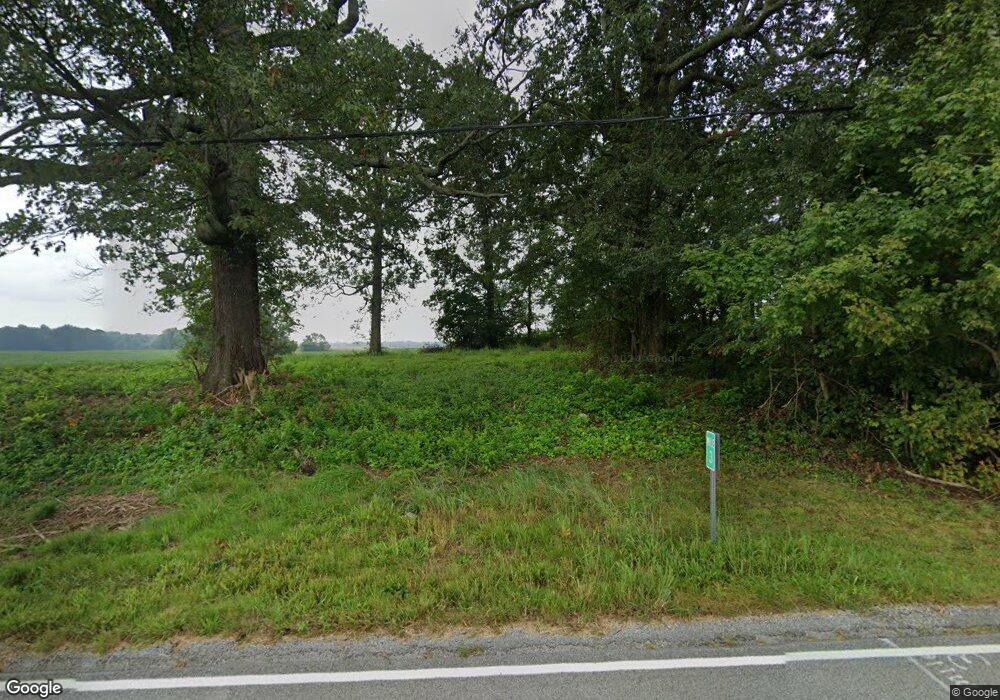
2913 Olmstead Rd Olmstead, KY 42265
Estimated Value: $19,000
3
Beds
1
Bath
1,572
Sq Ft
$12/Sq Ft
Est. Value
About This Home
This home is located at 2913 Olmstead Rd, Olmstead, KY 42265 and is currently estimated at $19,000, approximately $12 per square foot. 2913 Olmstead Rd is a home located in Logan County with nearby schools including Logan County High School.
Ownership History
Date
Name
Owned For
Owner Type
Purchase Details
Closed on
Feb 21, 2014
Sold by
Billings Shirlyn A
Bought by
Vick John Randy and Vick Amy Carol
Current Estimated Value
Purchase Details
Closed on
Jul 22, 2005
Sold by
Us Bank Na
Bought by
Billings Shirlyn A and Simpson James J
Home Financials for this Owner
Home Financials are based on the most recent Mortgage that was taken out on this home.
Original Mortgage
$16,000
Interest Rate
5.51%
Mortgage Type
Unknown
Create a Home Valuation Report for This Property
The Home Valuation Report is an in-depth analysis detailing your home's value as well as a comparison with similar homes in the area
Purchase History
| Date | Buyer | Sale Price | Title Company |
|---|---|---|---|
| Vick John Randy | $7,000 | None Available | |
| Billings Shirlyn A | $20,000 | None Available |
Source: Public Records
Mortgage History
| Date | Status | Borrower | Loan Amount |
|---|---|---|---|
| Previous Owner | Billings Shirlyn A | $16,000 |
Source: Public Records
Tax History
| Year | Tax Paid | Tax Assessment Tax Assessment Total Assessment is a certain percentage of the fair market value that is determined by local assessors to be the total taxable value of land and additions on the property. | Land | Improvement |
|---|---|---|---|---|
| 2025 | $26 | $3,000 | $3,000 | $0 |
| 2024 | $13 | $1,500 | $1,500 | $0 |
| 2023 | $13 | $1,500 | $1,500 | $0 |
| 2022 | $13 | $1,500 | $1,500 | $0 |
| 2021 | $13 | $1,500 | $1,500 | $0 |
| 2020 | $14 | $1,500 | $1,500 | $0 |
| 2019 | $14 | $1,500 | $1,500 | $0 |
| 2018 | $13 | $1,500 | $1,500 | $0 |
| 2017 | $13 | $1,500 | $1,500 | $0 |
| 2016 | $13 | $1,500 | $0 | $0 |
| 2015 | $159 | $1,500 | $1,500 | $0 |
| 2012 | $159 | $20,000 | $0 | $0 |
Source: Public Records
Map
Nearby Homes
- 194 Vick Rd
- 90 Dot Rd
- 80 Donald Ln
- 0 Keysburg Rd Unit 26192520
- 0 Keysburg Rd Unit 42351
- 1533 Orndorff Mill Rd
- 1053 Daysville Rd
- 143 Nathan Ln
- 1968 Schley Rd
- 110 Iroquois Cir
- 302 Birdie Cir
- 1227 W 9th St
- 1214 W 9th St
- 120 Madeline Ct
- 101 Nates Way
- Lot 15 Acorn Dr
- 115 Oakdale Dr
- 107 Acorn Dr
- Lot 14 Acorn Dr
- Lot 13 Acorn Dr
- 2885 Olmstead Rd
- 2989 Olmstead Rd
- 4130 Allensville Daysvill
- 2992 Olmstead Rd
- 2825 Olmstead Rd
- 3036 Olmstead Rd
- 3096 Olmstead Rd
- 3233 Olmstead Rd
- 2653 Olmstead Rd
- 172 Lickskillet Rd
- 180 Lickskillet Rd
- 173 Lickskillet Rd
- 3236 Olmstead Rd
- 306 Lickskillet Rd
- 309 Lickskillet Rd
- 590 Cedar Grove Rd
- 417 Lickskillet Rd
- 2373 Olmstead Rd
- 2399 Olmstead Rd
- 3502 Olmstead Rd
Your Personal Tour Guide
Ask me questions while you tour the home.