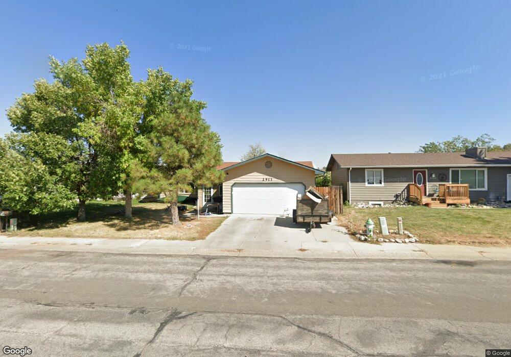
2913 Pheasant Dr Casper, WY 82604
West Casper NeighborhoodEstimated Value: $292,000 - $311,000
5
Beds
3
Baths
2,400
Sq Ft
$126/Sq Ft
Est. Value
About This Home
This home is located at 2913 Pheasant Dr, Casper, WY 82604 and is currently estimated at $303,098, approximately $126 per square foot. 2913 Pheasant Dr is a home located in Natrona County with nearby schools including Mount Hope Lutheran School and St. Anthony Tri-Parish Catholic School.
Ownership History
Date
Name
Owned For
Owner Type
Purchase Details
Closed on
Aug 17, 2022
Sold by
Bennett Pearl M
Bought by
Allen Walter
Current Estimated Value
Home Financials for this Owner
Home Financials are based on the most recent Mortgage that was taken out on this home.
Original Mortgage
$192,000
Outstanding Balance
$183,605
Interest Rate
5.54%
Mortgage Type
New Conventional
Estimated Equity
$119,493
Create a Home Valuation Report for This Property
The Home Valuation Report is an in-depth analysis detailing your home's value as well as a comparison with similar homes in the area
Home Values in the Area
Average Home Value in this Area
Purchase History
| Date | Buyer | Sale Price | Title Company |
|---|---|---|---|
| Allen Walter | -- | None Listed On Document |
Source: Public Records
Mortgage History
| Date | Status | Borrower | Loan Amount |
|---|---|---|---|
| Open | Allen Walter | $192,000 |
Source: Public Records
Tax History
| Year | Tax Paid | Tax Assessment Tax Assessment Total Assessment is a certain percentage of the fair market value that is determined by local assessors to be the total taxable value of land and additions on the property. | Land | Improvement |
|---|---|---|---|---|
| 2025 | $1,329 | $18,508 | $3,100 | $15,408 |
| 2024 | $1,725 | $24,021 | $4,267 | $19,754 |
| 2023 | $1,669 | $22,896 | $3,685 | $19,211 |
| 2022 | $1,583 | $21,711 | $3,261 | $18,450 |
| 2021 | $1,495 | $20,505 | $2,988 | $17,517 |
| 2020 | $1,410 | $19,340 | $6,061 | $13,279 |
| 2019 | $1,285 | $17,631 | $3,182 | $14,449 |
| 2018 | $1,296 | $17,782 | $3,182 | $14,600 |
| 2017 | $1,436 | $19,705 | $3,182 | $16,523 |
| 2015 | $1,390 | $19,070 | $3,182 | $15,888 |
| 2014 | $1,369 | $18,776 | $3,182 | $15,594 |
Source: Public Records
Map
Nearby Homes
- 2933 Pheasant Dr
- 2883 Casa Grande Dr
- 2972 Central Dr
- 7300 Wyoming 220
- 3110 Ridgecrest Dr
- 3250 Patriot Dr
- 3679 Timber Wolf Ct
- 3685 Red Wolf Dr
- 2940 Saratoga Rd
- 3300 Navarre Rd
- 2020 Brentwood Dr
- 1960 Brentwood Dr
- 0 Wyoming 220
- 2956 Knollwood Dr
- 3945 W 38th St
- 3410 Eagle Dr
- 2024 Cy Ave
- 1645 Brigham Young Ave
- 4341 Bobcat
- 4411 Bobcat
- 2915 Pheasant Dr
- 2911 Pheasant Dr
- 2917 Pheasant Dr
- 2909 Pheasant Dr
- 2910 Pheasant Dr
- 2912 Pheasant Dr
- 2919 Pheasant Dr
- 2919 Pheasant Dr Unit Meadowlark
- 2908 Pheasant Dr
- 2907 Pheasant Dr
- 2906 Pheasant Dr
- 2914 Pheasant Dr
- 2921 Pheasant Dr
- 2905 Pheasant Dr
- 2904 Pheasant Dr
- 2918 Pheasant Dr
- 2923 Pheasant Dr
- 2903 Pheasant Dr
- 2920 Pheasant Dr
- 2902 Pheasant Dr