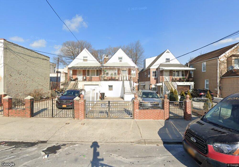
2913 Philip Ave Bronx, NY 10465
Throgs Neck-Edgewater Park NeighborhoodEstimated Value: $809,000 - $951,000
7
Beds
3
Baths
2,200
Sq Ft
$390/Sq Ft
Est. Value
About This Home
This home is located at 2913 Philip Ave, Bronx, NY 10465 and is currently estimated at $858,222, approximately $390 per square foot. 2913 Philip Ave is a home located in Bronx County with nearby schools including P.S. 14 Senator John Calandra, Herbert H Lehman High School, and St Benedict School.
Ownership History
Date
Name
Owned For
Owner Type
Purchase Details
Closed on
Feb 22, 2018
Sold by
Rodriguez Saturnina
Bought by
Marte Maira
Current Estimated Value
Purchase Details
Closed on
Dec 5, 2016
Sold by
1908 Hunt Avenue Llc
Bought by
Marte Maira and Rodriguez Saturina
Home Financials for this Owner
Home Financials are based on the most recent Mortgage that was taken out on this home.
Original Mortgage
$476,250
Interest Rate
3.54%
Mortgage Type
Purchase Money Mortgage
Purchase Details
Closed on
Aug 3, 2016
Sold by
Henits Johann
Bought by
1908 Hunt Avenue Llc
Create a Home Valuation Report for This Property
The Home Valuation Report is an in-depth analysis detailing your home's value as well as a comparison with similar homes in the area
Home Values in the Area
Average Home Value in this Area
Purchase History
| Date | Buyer | Sale Price | Title Company |
|---|---|---|---|
| Marte Maira | $6,350 | -- | |
| Marte Maira | $635,000 | -- | |
| 1908 Hunt Avenue Llc | $360,000 | -- |
Source: Public Records
Mortgage History
| Date | Status | Borrower | Loan Amount |
|---|---|---|---|
| Previous Owner | Marte Maira | $476,250 |
Source: Public Records
Tax History Compared to Growth
Tax History
| Year | Tax Paid | Tax Assessment Tax Assessment Total Assessment is a certain percentage of the fair market value that is determined by local assessors to be the total taxable value of land and additions on the property. | Land | Improvement |
|---|---|---|---|---|
| 2025 | $7,237 | $36,634 | $8,192 | $28,442 |
| 2024 | $7,237 | $36,030 | $8,373 | $27,657 |
| 2023 | $6,913 | $34,038 | $9,208 | $24,830 |
| 2022 | $5,048 | $43,140 | $10,680 | $32,460 |
| 2021 | $6,425 | $35,220 | $10,680 | $24,540 |
| 2020 | $5,050 | $35,040 | $10,680 | $24,360 |
| 2019 | $4,869 | $35,280 | $10,680 | $24,600 |
| 2018 | $5,782 | $28,365 | $7,697 | $20,668 |
| 2017 | $5,497 | $26,966 | $9,467 | $17,499 |
| 2016 | $2,430 | $25,440 | $10,680 | $14,760 |
| 2015 | $1,418 | $26,126 | $10,367 | $15,759 |
| 2014 | $1,418 | $25,021 | $11,133 | $13,888 |
Source: Public Records
Map
Nearby Homes
- 2916 Sullivan Place
- 755 Logan Ave
- 836 Revere Ave
- 819 Hollywood Ave
- 854 Logan Ave
- 731 Hollywood Ave
- 730 Logan Ave
- 710 Revere Ave
- 840 Hollywood Ave
- 724 Hollywood Ave
- - Ave
- 2808 Philip Ave
- 636 Logan Ave
- 815 Swinton Ave
- 831 Swinton Ave
- 837 Swinton Ave
- 854 Throgs Neck Expy
- 3021 Barkley Ave
- 2921 Greene Place
- 903 Vincent Ave
- 2911 Philip Ave
- 2915 Philip Ave
- 2917 Philip Ave
- 2919 Philip Ave
- 3653-3655 E Tremont Ave
- 3651 E Tremont Ave
- 3651 E Tremont Ave Unit 2
- 3657 E Tremont Ave
- 2916 Scott Place
- 2910 Scott Place
- 2918 Scott Place
- 2918 Scott Place Unit 2
- 2921 Philip Ave
- 2920 Scott Place
- 3633-3639 E Tremont Ave
- 2922 Scott Place
- 2924 Scott Place
- 803 Edison Ave
- 3665 E Tremont Ave
- 2928 Scott Place