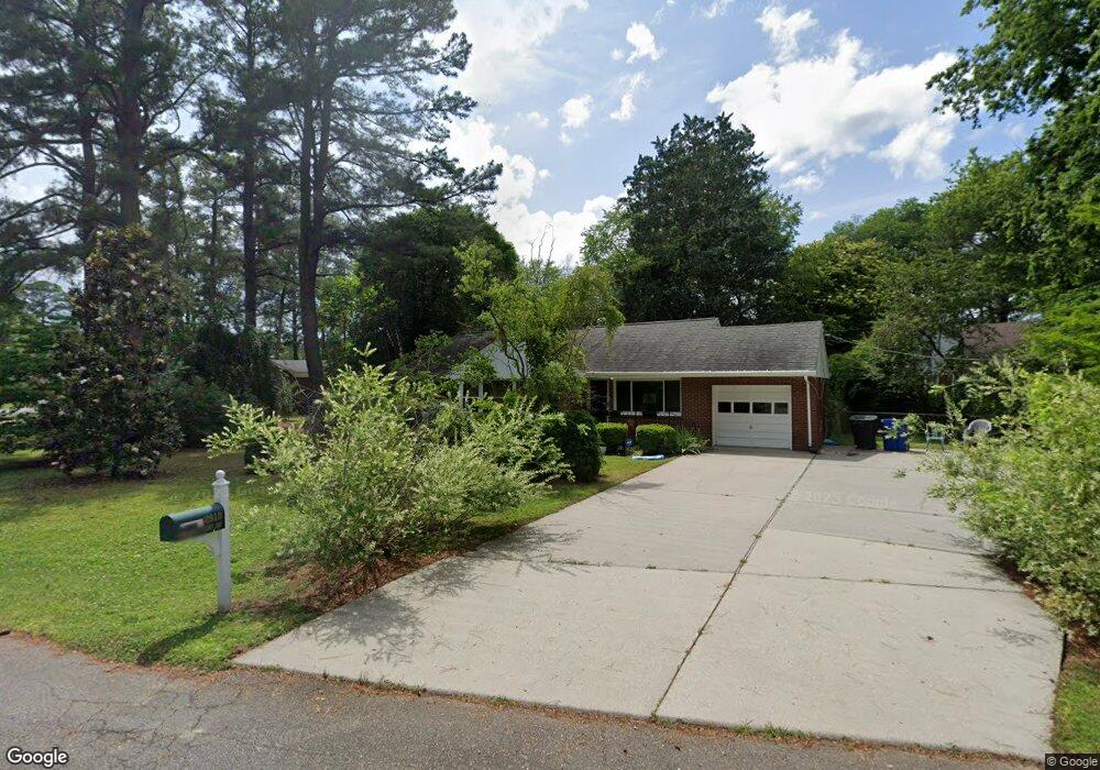
2913 Sterling Point Dr Portsmouth, VA 23703
Churchland NeighborhoodEstimated Value: $280,000 - $327,000
2
Beds
1
Bath
1,338
Sq Ft
$228/Sq Ft
Est. Value
About This Home
This home is located at 2913 Sterling Point Dr, Portsmouth, VA 23703 and is currently estimated at $305,563, approximately $228 per square foot. 2913 Sterling Point Dr is a home located in Portsmouth City with nearby schools including Churchland Elementary School, Churchland Academy Elementary School, and Churchland Middle School.
Ownership History
Date
Name
Owned For
Owner Type
Purchase Details
Closed on
Feb 3, 2012
Sold by
Kittrell Sidney T and Kittrell Richrd T
Bought by
Altizer Jane M
Current Estimated Value
Home Financials for this Owner
Home Financials are based on the most recent Mortgage that was taken out on this home.
Original Mortgage
$137,700
Outstanding Balance
$94,132
Interest Rate
3.92%
Mortgage Type
New Conventional
Estimated Equity
$211,431
Create a Home Valuation Report for This Property
The Home Valuation Report is an in-depth analysis detailing your home's value as well as a comparison with similar homes in the area
Home Values in the Area
Average Home Value in this Area
Purchase History
| Date | Buyer | Sale Price | Title Company |
|---|---|---|---|
| Altizer Jane M | $137,700 | -- |
Source: Public Records
Mortgage History
| Date | Status | Borrower | Loan Amount |
|---|---|---|---|
| Open | Altizer Jane M | $137,700 |
Source: Public Records
Tax History Compared to Growth
Tax History
| Year | Tax Paid | Tax Assessment Tax Assessment Total Assessment is a certain percentage of the fair market value that is determined by local assessors to be the total taxable value of land and additions on the property. | Land | Improvement |
|---|---|---|---|---|
| 2025 | $3,132 | $246,250 | $93,400 | $152,850 |
| 2024 | $3,132 | $240,730 | $93,400 | $147,330 |
| 2023 | $2,788 | $223,060 | $93,400 | $129,660 |
| 2022 | $2,611 | $200,860 | $77,830 | $123,030 |
| 2021 | $2,379 | $182,980 | $67,680 | $115,300 |
| 2020 | $2,308 | $177,550 | $64,460 | $113,090 |
| 2019 | $2,294 | $176,450 | $64,460 | $111,990 |
| 2018 | $2,294 | $176,450 | $64,460 | $111,990 |
| 2017 | $2,294 | $176,450 | $64,460 | $111,990 |
| 2016 | $2,294 | $176,450 | $64,460 | $111,990 |
| 2015 | $2,294 | $176,450 | $64,460 | $111,990 |
| 2014 | $2,241 | $176,450 | $64,460 | $111,990 |
Source: Public Records
Map
Nearby Homes
- 3130 Sterling Point Dr
- 3128 Sterling Point Dr
- 2805 Acres Rd
- 4305 Manchester Rd
- 4412 Gannon Rd
- 4417 Gannon Rd
- 4707 High St W
- 4011 Reese Dr S
- 3000 Ferguson Dr
- 5006 High St W
- 415 Tareyton Ln
- 4517 Wake Forest Rd
- 5111 Sweetbriar Cir
- 3620 Point Elizabeth Dr
- 4420 Norman Rd
- 400 Kay Rd
- 3200 Westwood Crescent
- 3205 Clover Hill Dr
- 3233 Clover Hill Dr
- 2935 Bruce Station
- 5021 Oakhill Ave
- 5020 Fable Ave
- 5017 Oakhill Ave
- 2912 Sterling Point Dr
- 5025 Oakhill Ave
- 2916 Sterling Point Dr
- 5016 Fable Ave
- 5013 Oakhill Ave
- 5021 Fable Ave
- 2908 Sterling Point Dr
- 2920 Sterling Point Dr
- 5024 Oakhill Ave
- 5012 Fable Ave
- 5016 Oakhill Ave
- 5017 Fable Ave
- 2914 Replica Ln
- 2914 Replica Ln Unit Lane
- 5009 Oakhill Ave
- 2912 Replica Ln
- 5028 Oakhill Ave